- Yayladağı
Infobox Settlement
settlement_type = District
subdivision_type = Country
subdivision_name = TUR
timezone=EET
utc_offset=+2
map_caption =Location of PAGENAME within Turkey.
timezone_DST=EEST
utc_offset_DST=+3official_name = Yayladağı
image_caption =
image_blank_emblem =
blank_emblem_type =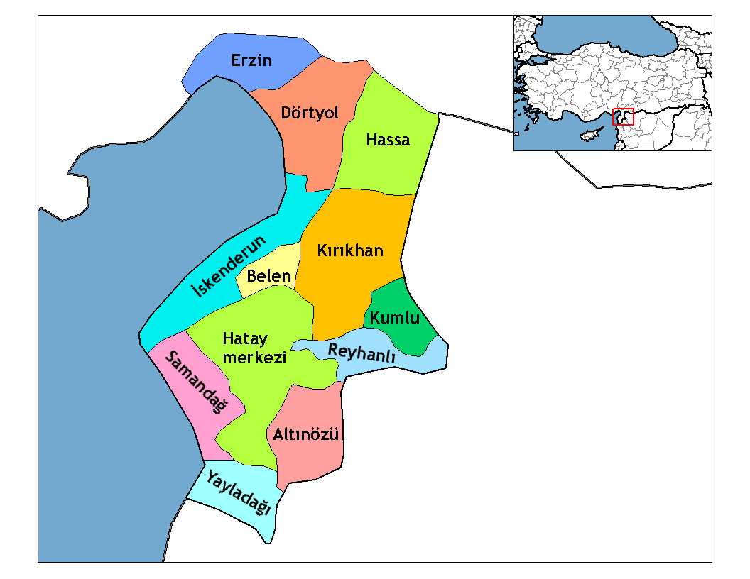
subdivision_type1=Region
subdivision_name1 = Mediterranean
subdivision_type2=Province
subdivision_name2 = Hatay| population_total = 27654|population_footnotes=
total population| = 27,854
population_urban = 7717|population_footnotes=
population_as_of =| 2000
population_footnotes =
population_density_km2 =
area_total_km2 = 366|elevation_m = 613|postal_code_type=Postal code
postal_code = 31
blank_info = 31|blank_name=Licence plate
area_code = (0)326
leader_name =
website =
leader_name1 =
gwebsite = http://www.yayladagi.gov.tr/Yayladağı is a town and district of
Hatay Province of southernTurkey , on the border between Turkey andSyria , convert|51|km|mi|0|abbr=on south of the city ofAntakya .Etymology
Yayladağı was formerly known as Ordu-Muradiye.
History
The district has a long history dating back to the
Hittites . Islam was brought here by theAbbassid Arab s and from 1075 onwards theSeljuk Turks . During theCrusades the mountains were part of the principality ofAntioch , then they returned to Turkish control and in 1268 were brought into theOttoman Empire by SultanSelim I during his campaign intoEgypt .Geography
Today Yayladağı itself is a small town of 8,000 people, providing the district with a health centre, high schools and other basics.
This is a mountainous district with a typical
Mediterranean climate of hot, dry summers and warm, wet winters, but being inland and high up Yayladağı is cooler than most of Hatay, even seeing snow on the mountain peaks in winter. The main source of income is agriculture, 96km² of the land (small valleys and plateau in the mountains) is cultivated with olives, tobacco, vegetables, grains and other crops, the remainder is forest and mountain. The mountainsides are covered with pine, sandalwood and rough oak, or else shrubs including bay,thyme andoleander . Animals, especially goats, are grazed on the hillsides.Yayladağı has a border crossing into Syria, and the village of Topraktutan, Turkey's southernmost point.
Places of interest
* Kasım Bey Cami - Yayladağı's oldest mosque, built by the
Avar lord that captured the area from theByzantines . Other historical buildings include the 500 year-old mosque Hacı Hüseyin Camii, a Roman bridge. There are ancient churches including the church of Barlahan on the Kel Dağı mountain, others in the villages of Çabala and Olgunlar, and the monastery named Kızlar Sarayı. There are also a number of caves and places said to possess healing powers.External links
* [http://www.yayladagi.gov.tr/ the district governorate] tr icon
Wikimedia Foundation. 2010.