- Starland County, Alberta
Infobox Settlement
official_name = Starland County
other_name =
native_name =
nickname =
settlement_type = Municipal district
motto =
imagesize = 200px
image_caption = Hoodoos east of Drumheller
flag_size =
image_
seal_size =
image_shield =
shield_size =
city_logo =
citylogo_size =
mapsize =
map_caption =
mapsize1 =
map_caption1 =
image_dot_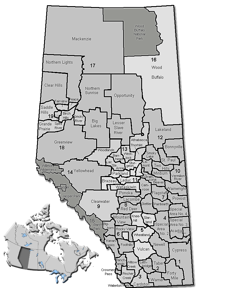
dot_mapsize = 250px
dot_map_caption = Location of Starland County inAlberta
dot_x = 155 |dot_y = 231
pushpin_
pushpin_label_position =
pushpin_map_caption =
pushpin_mapsize =
subdivision_type = Country
subdivision_name = CAN
subdivision_type1 = Province
subdivision_name1 = AB
subdivision_type2 = Region
subdivision_name2 =Southern Alberta
subdivision_type3 = Census division
subdivision_name3 = No. 5
subdivision_type4 =
subdivision_name4 =
government_footnotes =Cite web| url= http://www.starlandcounty.com/council.htm| title= Council| author= Starland County|accessdate= 2007-07-09]
government_type =
leader_title = Governing body
leader_name = Starland County Council
leader_title1 = Reeve
leader_name1 = K. Barry McLeod
leader_title2 = Municipal seat
leader_name2 = Morrin
leader_title3 =
leader_name3 =
leader_title4 =
leader_name4 =
established_title = Established
established_date = 1943
established_title2 = Incorporated
established_date2 = 1912
established_title3 =
established_date3 = 1998 (County)
area_magnitude =
unit_pref =
area_footnotes =
area_total_km2 = 2558
area_land_km2 =
area_water_km2 =
area_total_sq_mi =
area_land_sq_mi =
area_water_sq_mi =
area_water_percent =
area_urban_km2 =
area_urban_sq_mi =
area_metro_km2 =
area_metro_sq_mi =
area_blank1_title =
area_blank1_km2 =
area_blank1_sq_mi =
population_as_of = 2006
population_footnotes =
population_note =
population_total = 2371
population_density_km2 = 0.9
population_density_sq_mi =
population_metro =
population_density_metro_km2 =
population_density_metro_sq_mi =
population_urban =
population_density_urban_km2 =
population_density_urban_sq_mi =
population_blank1_title = Dwellings
population_blank1 = 748
population_density_blank1_km2 =
population_density_blank1_sq_mi =
timezone = MST
utc_offset = -7
timezone_DST =
utc_offset_DST =
latd= 51|latm= 39|lats= 30|latNS=N
longd= 112|longm= 45|longs= 59|longEW=W
elevation_footnotes =
elevation_m =
elevation_ft =
postal_code_type =
postal_code =
area_code =
blank_name =
blank_info =
blank1_name =
blank1_info =
website = [http://www.starlandcounty.com/ Starland County]
footnotes = Starland County is located insouthern Alberta Canada .The municipality was incorporated in 1912, and established in the current boundaries in 1943, under the name "Municipal District of Morrin No. 277". The name was changed the same year to "Municipal District of Starland No. 277". Starland achieved county status in 1998.
Demographics
It's population as of 2001 was about 2,210 ("Source:
Statistics Canada 2001 Census" [ [http://www12.statcan.ca/english/Profil01/CP01/Details/Page.cfm?Lang=E&Geo1=CSD&Code1=4805031&Geo2=PR&Code2=48&Data=Count&SearchText=starland&SearchType=Begins&SearchPR=01&B1=All&Custom= Starland County community profile] - Statistics Canada. 2002. 2001 Community Profiles. Released June 27, 2002. Last modified: 2005-11-30. Statistics Canada Catalogue no. 93F0053XIE.] ).In 2006, Starland County had a population of 2,371 living in 748 dwellings, a 7.3% increase from 2001. The municipal district has a land area of km2 to mi2|2557.70|abbr=yes|wiki=yes and a
population density of Pop density km2 to mi2|0.9| spell=UK | abbr=yes.Cite web| url= http://www12.statcan.ca/english/census06/data/profiles/community/Details/Page.cfm?Lang=E&Geo1=CSD&Code1=4805031&Geo2=PR&Code2=48&Data=Count&SearchText=Starland%20County&SearchType=Begins&SearchPR=01&B1=All&GeoLevel=&GeoCode=4805031 | title= Starland County - Community Profile | author= Statistics Canada| authorlink= Statistics Canada| year= Census 2006 | accessdate= 2007-06-11]Communities
The following communities are located in this municipal district [ [http://www.municipalaffairs.gov.ab.ca/cfml/profiles/data/0296_1.htm Municipal Profile] - Alberta Municipal Affairs] :
Towns
*DrumhellerVillages
*Delia
*Morrin (municipal seat)
*MunsonHamlets
*Craigmyle
*Michichi
*Rowley
*Rumsey (dissolved as village in 1995, included in Starland)Attractions
*McLaren Dam Recreation Area
*Michichi Dam Recreation Area
*Starland Recreation AreaReferences
*cite web|url=http://www.albertafirst.com/profiles/statspack/20709.html|title=Starland County|publisher=AlbertaFirst.com Ltd.|accessdate=2006-06-02
External links
* [http://www.starlandcounty.com/ Starland County] - Official site
Canadian City Geographic Location (8-way)
Centre = Starland County
Northwest = 
Wikimedia Foundation. 2010.