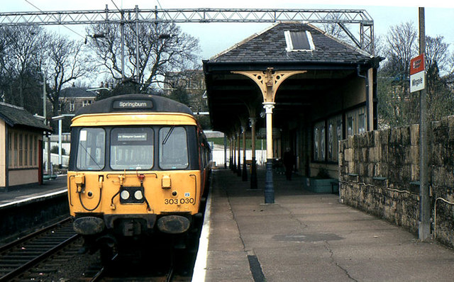
- Milngavie railway station
-
Milngavie 
Muileann-Gaidh 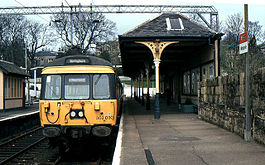
Location Place Milngavie Local authority East Dunbartonshire Operations Station code MLN Managed by First ScotRail Number of platforms 2 Live arrivals/departures and station information
from National Rail EnquiriesAnnual rail passenger usage 2004/05 * 0.603 million 2005/06 *  0.717 million
2006/07 * 0.754 million2007/08 * 0.781 million2008/09 * 0.957 millionHistory 28 August 1863 Opened National Rail - UK railway stations A B C D E F G H I J K L M N O P Q R S T U V W X Y Z * Annual passenger usage based on sales of tickets in stated financial year(s) which end or originate at Milngavie from Office of Rail Regulation statistics. Please note: methodology may vary year on year. Milngavie railway station serves the town of Milngavie, East Dunbartonshire, near Glasgow in Scotland. The station is 14 km (8½ miles) north west of Glasgow Central on the Argyle Line and 14.5 km (9.0 mi) north west of Glasgow Queen Street on the North Clyde Line.
Its principal purpose today is as a commuter station for people working in Glasgow city centre. The station itself is a category B listed building.[1] Milngavie station is generally well kept and has had a history of winning many awards and commendations for the quality of the flower baskets and tubs in station garden competitions.
The station is the usual access point for the 95-mile (153 km) long West Highland Way long distance footpath which officially starts in Milngavie town centre, marked by a granite obelisk. The first few hundred yards of the way follow the line of short spur of the railway originally built to serve the Ellangowan Paper Mills.
Contents
History
The station was opened on 28 August 1863, and was then part of the Glasgow and Milngavie Junction Railway. Originally built with three platforms, one platform has since been removed. The land where the third platform once stood has been sold and is now the site of a Kwik-Fit garage. The double track line from Hillfoot station was singled in 1990.
Facilities
Milngavie station has a ticket office, staff facilities, and disabled access. There is no taxi rank, but there is a regular bus service operating from the bus stop outside the station entrance. A pedestrian underpass links the station to the town centre, which is also pedestrianised, and the southern end of the West Highland Way long distance footpath to Fort William.
Signalling
See also: Railway signallingMilngavie signal box was situated to the south of the station, on the east side of the railway. It opened in 1900 when the line was doubled. A new lever frame with 35 levers was installed in 1959.
The signal box was closed on 21 October 1990 under a resignalling scheme that saw control of the whole North Clyde Line transferred to Yoker Signalling Centre.
Services
Passenger services are operated by ScotRail with assistance from Strathclyde Partnership for Transport. Trains to Glasgow operate on a regular schedule, with a departure once every 15 minutes on weekdays. Two trains per hour go via Glasgow Central on the Argyle Line, while the other two travel via Queen Street on the North Clyde Line. In the evenings and on Sundays a half-hourly service operates via Glasgow Central. Services are operated by Class 318, Class 320 and Class 334 electric multiple units.
Preceding station  National Rail
Following station Hillfoot ScotRail
Terminus Hillfoot ScotRail
Terminus References
- ^ Historic Scotland HB Number 37852. Retrieved 2009-04-01
Categories:- Category B listed buildings in Scotland
- Listed railway stations in Scotland
- Listed buildings in East Dunbartonshire
- Railway stations in East Dunbartonshire
- Former North British Railway stations
- Railway stations opened in 1863
- SPT railway stations
- Railway stations served by First ScotRail
Wikimedia Foundation. 2010.