Itcha Ilgachuz Provincial Park
- Itcha Ilgachuz Provincial Park
Infobox_protected_area | name = Itcha Ilgachuz Provincial Park
iucn_category =
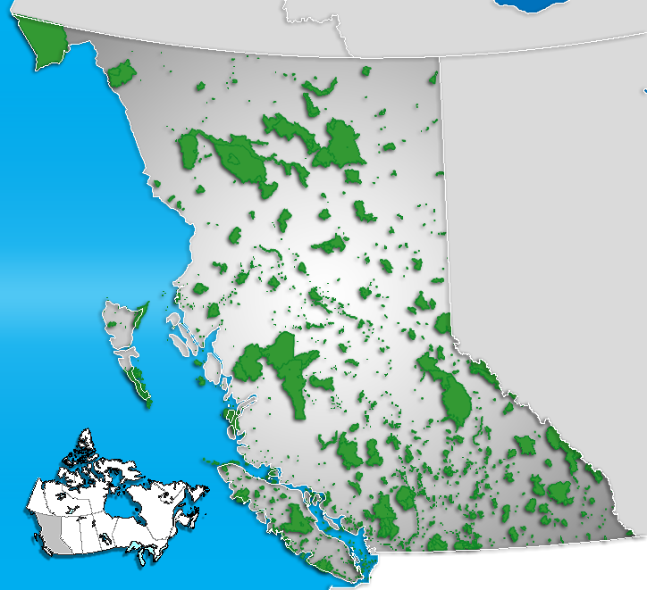
caption = Location of "Itcha Ilgachuz" in British Columbia
locator_x = 139
locator_y = 167
location = British Columbia, Canada
nearest_city = Quesnel, British Columbia
lat_degrees = 52
lat_minutes = 42
lat_seconds = 0
lat_direction = N
long_degrees = 124
long_minutes = 50
long_seconds = 0
long_direction = W
area = 111,977 hectares
established = 1995
visitation_num =
visitation_year =
governing_body = BC Parks
Itcha Ilgachuz Provincial Park is a provincial park in the Chilcotin Country of British Columbia, Canada. The park is 111,977 hectares in size and contains Far Mountain and Mount Downton, its two most prominent peaks.
History and conservation
Established in 1995 the park was recommended for protection under the Cariboo-Chilcotin Land-Use Plan, and designated a Class A Park.
Itcha Ilgachuz protects alpine grasslands, wetlands, and wildlife habitat. The Itcha Range and Ilgachuz Range are shield volcanoes that formed 5 and 2.5 million years ago as the North American Plate drifted over the Anahim hotspot. These ranges are situated in the rain shadow of the Coast Mountains, and support a high diversity of plant and animal species including woodland caribou.
Recreation
The park has a network of unmaintained trails for hikers or equestrian users. One trail is open to mountain biking. Wilderness backcountry camping and fishing or hunting (with a license) are permitted.
In winter, a network of snowmobile trails and play areas is available that avoids the preferred winter range of the woodland caribou.
Location
The park is north of BC Highway 20 near the community of Anahim Lake. There are no roads in the park.
External links
* [http://www.env.gov.bc.ca/bcparks/explore/parkpgs/itcha.html Information]
Wikimedia Foundation.
2010.
Look at other dictionaries:
Neys Provincial Park — IUCN Category II (National Park) Location … Wikipedia
Itcha — may refer to:Philosophical and religious concepts *Itcha shaktiPlaces *Itcha Ilgachuz Provincial Park *Itcha Mountain *Itcha Range … Wikipedia
Ilgachuz Range — Geobox | Range name=Ilgachuz Range image caption=Satellite image of the Ilgachuz Range country=Canada region type=Province region=British Columbia parent=Coast Mountains border=Rainbow|border1=Itcha Range geology= Shield volcano period=5 million… … Wikipedia
Itcha Range — Geobox | Range name=Itcha Range image caption=Satellite image of the Itcha Range country=Canada region type=Province region=British Columbia parent=Chilcotin Plateau border= geology= Shield volcano period=2.5 million years (Pliocene)… … Wikipedia
Itcha Mountain — Infobox Mountain Name=Itcha Mountain Photo= Caption= Elevation=2,290 metres (7,513 feet) Location=Chilcotin District, British Columbia, Canada Range=Itcha Range Prominence =180 m Coordinates = coord|52|43|03.0|N|124|49|49.1|W|type:mountain region … Wikipedia
Provincial Parks in British Columbia — Karte der Provincial Parks in British Columbia Die kanadische Provinz British Columbia unterhält 620 Provincial Parks (Stand: November 2010). Damit besitzt die Provinz nach den kanadischen Nationalparks das größte Parksystem des Landes. Über 13,5 … Deutsch Wikipedia
List of British Columbia Provincial Parks — The following is a list of all British Columbia land currently managed by [http://www.env.gov.bc.ca/bcparks BC Parks] . Any parks that are closed are not currently listed.There were a number of provincial parks, protected areas and ecological… … Wikipedia
Rainbow Range (Coast Mountains) — Geobox|Range name=Rainbow Range image caption=Rainbow Range colours from heavy mineralization country=Canada region type=Province region=British Columbia parent=Coast Mountains/Chilcotin Plateau border=Pacific Ranges geology= Shield volcano… … Wikipedia
Mount Downton — Elevation 2,375 m (7,792 ft) Prominence 785 m (2,575 ft) … Wikipedia
Far Mountain — Infobox Mountain Name=Far Mountain Photo= Caption= Elevation=2,410 metres (7,907 feet) Location=Anahim Volcanic Belt, British Columbia, Canada Range=Ilgachuz Range Prominence =1230 m Coordinates = coord|52|47|12.1|N|125|19|23.9|W|type:mountain… … Wikipedia