- Carmarthen
-
Not to be confused with Caernarfon or Cwmafan.
Coordinates: 51°51′22″N 4°18′58″W / 51.856°N 4.316°W
Carmarthen Welsh: Caerfyrddin 
 Carmarthen
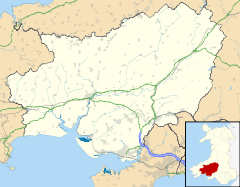
Carmarthen shown within CarmarthenshirePopulation 14,648 (2001 Census) OS grid reference SN415205 Community Carmarthen Principal area Carmarthenshire Ceremonial county Dyfed Country Wales Sovereign state United Kingdom Post town CARMARTHEN Postcode district SA31-33 Dialling code 01267 Police Dyfed-Powys Fire Mid and West Wales Ambulance Welsh EU Parliament Wales UK Parliament Carmarthen East and DinefwrCarmarthen West and South Pembrokeshire Welsh Assembly Carmarthen East and Dinefwr List of places: UK • Wales • Carmarthenshire Carmarthen (
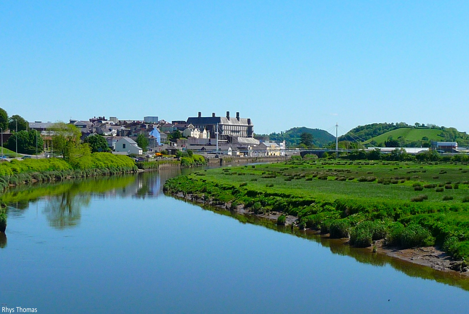
 /ˌkɑrˈmɑrðən/ kar-mar-dhən; Welsh: Caerfyrddin pronounced [kɑːɨrˈvərðɪn]) is a community in, and the county town of, Carmarthenshire, Wales. It is sited on the River Towy 8 miles (13 km) north of its mouth at Carmarthen Bay.[1] In 2001, the population was 14,648.[2]
Carmarthen lays claim to being the oldest town in Wales but the two settlements of Old and New Carmarthen were only united into a single borough in 1546.[3] Carmarthen was the most populous borough in Wales between the 16th and 18th centuries and was described by William Camden as "the chief citie of the country". However, population growth stagnated by the mid 19th century as more dynamic economic centres developed in the South Wales coalfield.[3] Currently, Carmarthen is the location of the headquarters of Dyfed-Powys Police, the Carmarthen campus of the University of Wales, Trinity Saint David and the West Wales General Hospital.
Contents
History
Early history
Main article: Moridunum (Carmarthen)See also: Black Book of CarmarthenWhen Britannia was a Roman province, Carmarthen was the civitas capital of the Demetae tribe, known as Moridunum (meaning sea fort). Carmarthen is possibly the oldest town in Wales and was recorded by Ptolemy and in the Antonine Itinerary. The Roman fort is believed to date from AD75-77. A coin hoard of Roman currency was found nearby in 2006.[4] Near the fort is one of seven surviving Roman amphitheatres in the United Kingdom and one of only two in Roman Wales (the other being at Isca Augusta or Roman Caerleon). It was excavated in 1968. The arena itself is 46 by 27 meters; the circumference of the cavea seating area is 92 by 67 meters.[5]
The strategic importance of Carmarthen was such that the Norman William fitz Baldwin built a castle, probably around 1094. The existing castle site is known to have been used since 1105. The castle was destroyed by Llywelyn the Great in 1215. In 1223, the castle was rebuilt and permission was received to wall the town and crenellate (a murage). Carmarthen was among the first medieval walled towns in Wales. In 1405, the town was taken and the castle was sacked by Owain Glyndŵr. The famous Black Book of Carmarthen, written around 1250, is associated with the town's Priory of St John the Evangelist and Teulyddog.
During the Black Death of 1347-49, the plague was brought to Carmarthen via the thriving river trade.[6] The Black Death "destroy'd and devastated" villages such as Llanllwch. Local historians place the plague pit, the site for mass burial of the dead, in the graveyard that adjoins the 'Maes-yr-Ysgol' and 'Llys Model' housing at the rear of St Catherine Street.
Arthurian legend
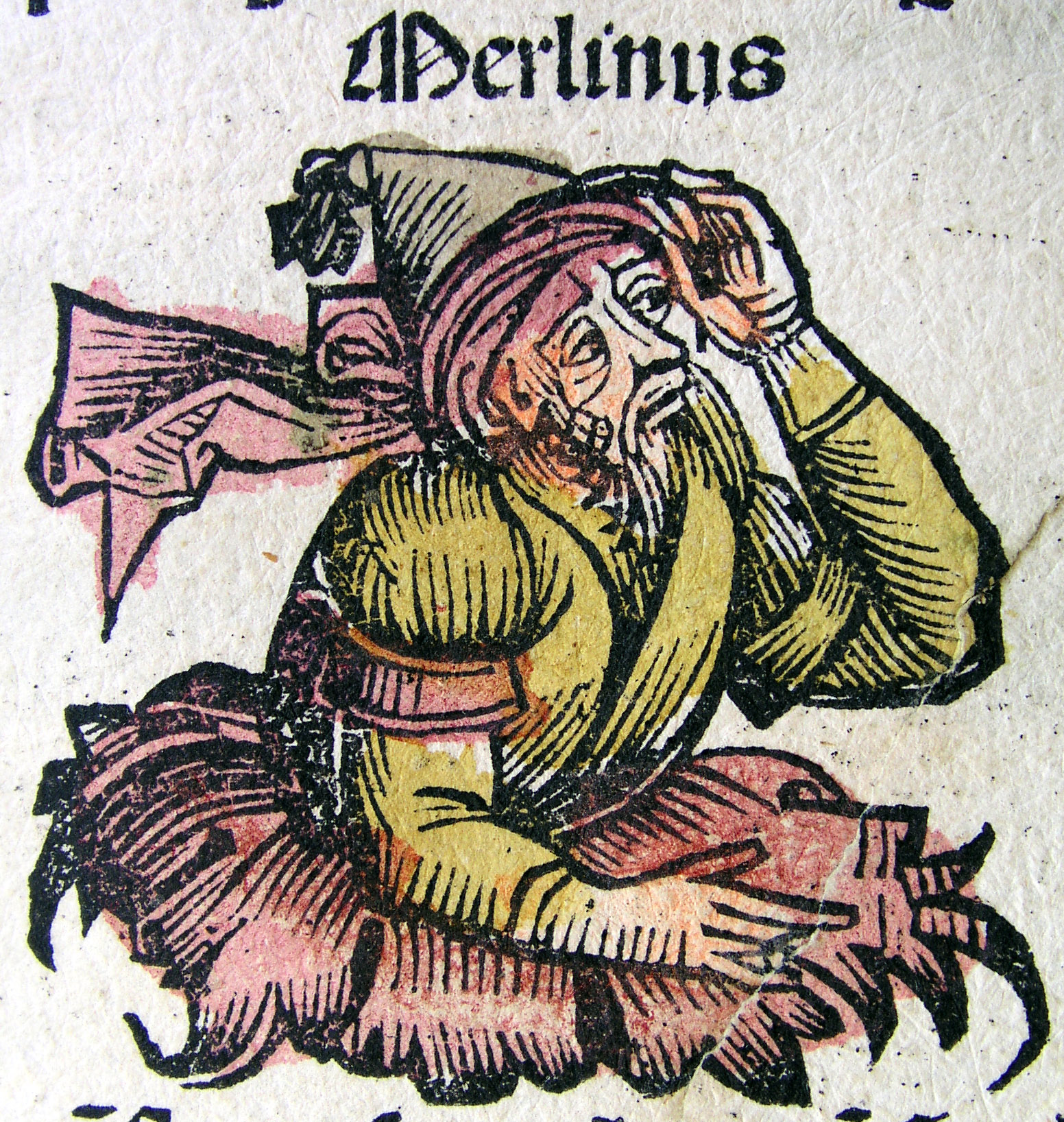
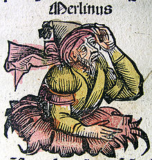 Merlin, from the Nuremberg Chronicle (1493)
According to some variants of the Arthurian legend, Merlin was born in a cave outside Carmarthen, with some noting that Merlin may be an anglicised form of Myrddin. Historians generally disagree with this interpretation of the name, preferring that Myrddin is a corruption of the Roman name but the story is popular. Many areas surrounding Carmarthen still allude to this, such as the nearby Bryn Myrddin (Merlin's Hill).
Legend also had it that, when a particular tree called 'Merlin's Oak' fell, it would be the downfall of the town as well - Translated from Welsh, it reads: When Merlin's Oak comes tumbling down, down shall fall Carmarthen Town'. In order to stop this, the tree was dug up when it died and pieces are now in the museum. The occasional flooding of the appropriately-named Water Street has been attributed to ongoing redevelopment of the area.
The Black Book of Carmarthen includes poems with references to Myrddin (Ymddiddan Myrddin a Thaliesin) and possibly to Arthur (Pa ŵr yw'r Porthor?). The interpretation of these is difficult because the Arthurian legend was already known by this time and many details of the modern form of the legend had been described by Geoffrey of Monmouth before the book was written. In addition, some of the stories appear to have been moved into Wales at some point before their recording in the book.
Early modern
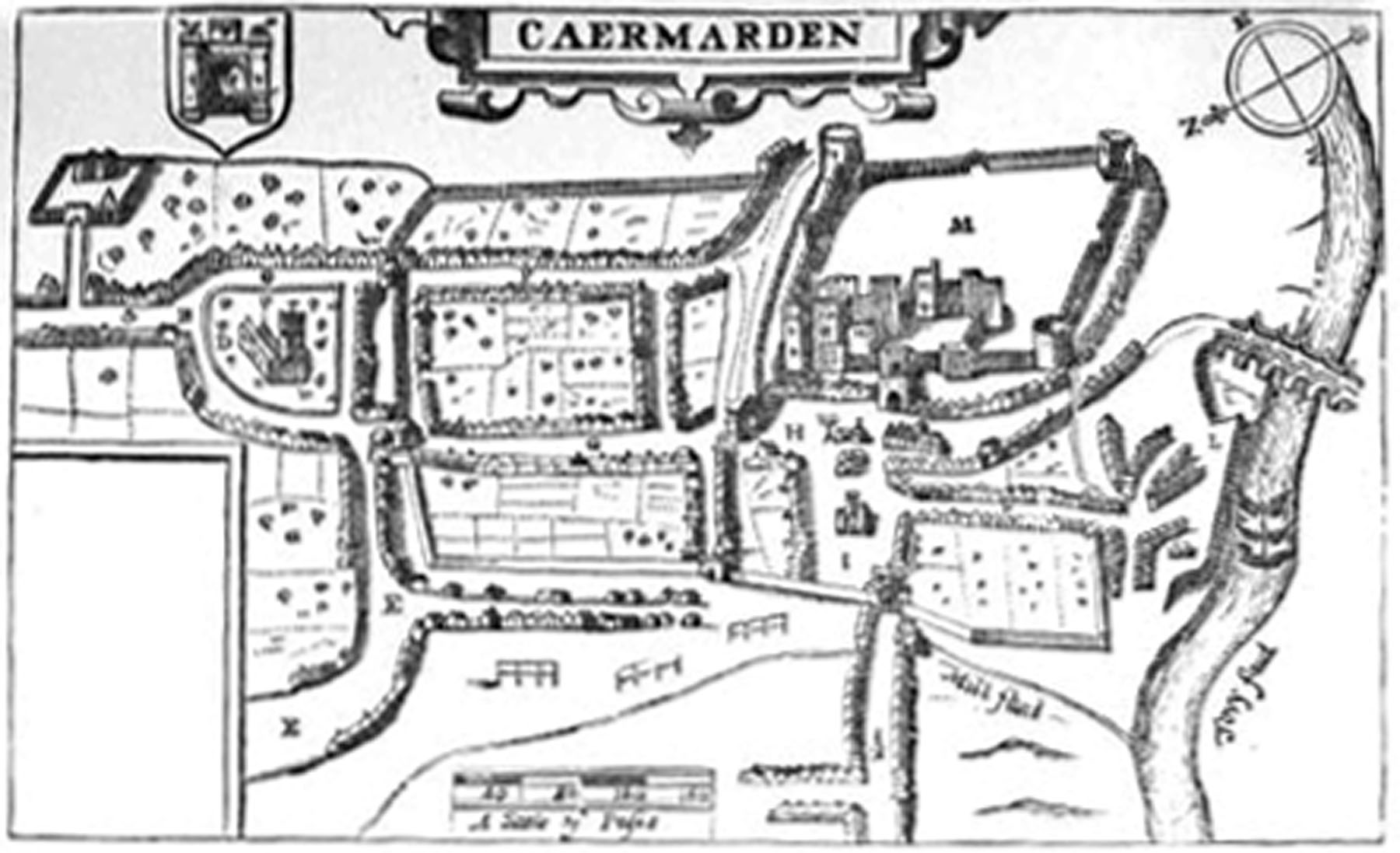
 John Speed's 1610 map of Carmarthen.
Following the Acts of Union, Carmarthen became the judicial headquarters of the Court of Great Sessions for south-west Wales.[7] In the 16th and 17th centuries, the dominant business of Carmarthen town was still agriculture and related trades, including woollen manufacture. Carmarthen was made a county corporate by charter of James I in 1604. The charter decreed that Carmarthen should be known as the 'Town of the County of Carmarthen' and should have two sheriffs. This was reduced to one sheriff in 1835 and the (now largely ceremonial) post continues to this day.
Both the Priory and the Friary were abandoned during the dissolution of the monasteries in the reign of Henry VIII, the land being returned to the monarchy. Likewise, the chapels of St Catherine and St Barbara were lost, the church of St Peter's being the main religious establishment to survive this era.
During the Marian persecutions of the 1550s, Bishop Ferrar of St David's was burnt at the stake in the market square - now Nott Square. A Protestant martyr, his life and death are recorded in John Foxe's famous book of martyrs.
18th century to present
In the mid 18th century, the iron and coal trades became much more important although Carmarthen town never developed ironworks on the scale of Dowlais or Merthyr Tydfil. Carmarthen town hosted the National Eisteddfod in 1867, 1911 and 1974 although, at least in the case of the 1974 Eisteddfod, the Maes was at Abergwili.
The Boys' Grammar School was founded in 1587 on the site that is now occupied by the old hospital in Priory Street. This school moved in the 1840s to Priory Row before relocating to Richmond Terrace. It was here at the turn of the century that a local travelling circus was given permission to bury one of their elephants after it fell sick and died. The elephant's final resting place is under what was the school rugby pitch.
During World War II, prisoner-of-war camps were situated in Johnstown (where the Davies Estate now stands) and at Glangwilli — the POW huts being utilised as part of the hospital at its inception.
Twin towns
Carmarthen is twinned with:
 Lesneven, Brittany, France
 Santa Marinella, Italy
 As Pontes, Galicia, Spain
Landmarks
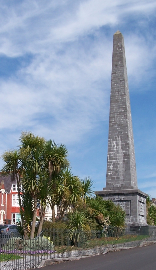
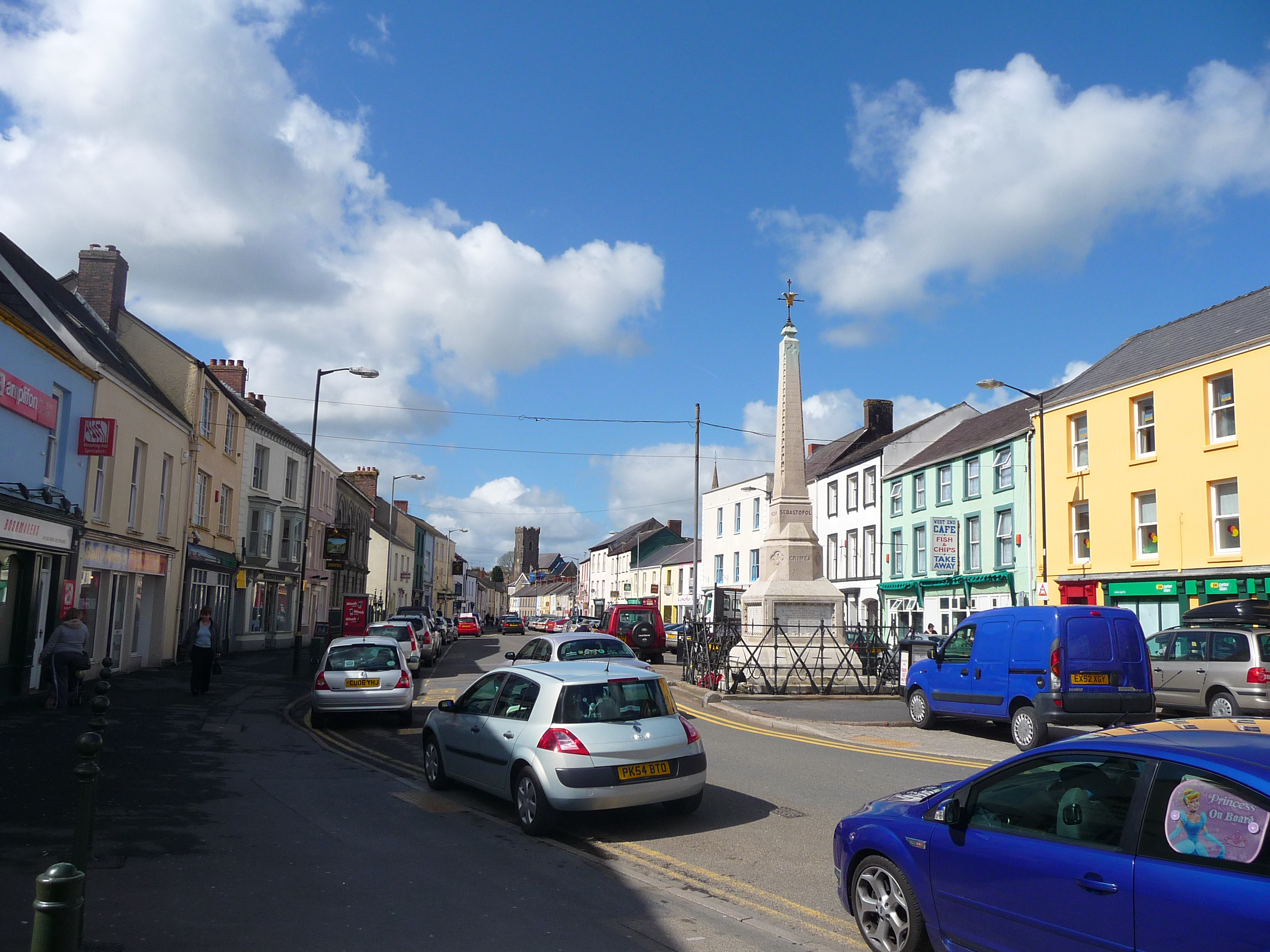
Picton's monument
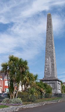 Picton Monument in Carmarthen
The original monument, erected in 1828, stood at the west end of the town and was erected in memory of the gallant Sir Thomas Picton, who died in the Battle of Waterloo. It was about 75 feet high and was intended to echo Trajan's column in Rome. The pillar stands on a square pedestal, with a small door on the east side, which fronts the town, where the monument was ascended by a flight of steps. Over the door, in large characters, was the name, 'PICTON' and above this is a relief showing part of the field of battle, with the hero falling from his horse, from the mortal wound which he received. Over this, in large letters, is inscribed 'WATERLOO'. On the west end is represented the Battle of Badajoz (1812), Picton scaling the walls with a few men and attacked by the besieged. Above this is the word 'BADAJOS'. On the south side of the pedestal is an inscription to Picton's life.
On the north side was the translation of the above in Welsh and on the top of the pedestal, on each side of the square, were trophies. The top of the column was also square and on each side were imitative cannons. The statue of the hero surmounts the whole, wrapped in a cloak and supported by a baluster, round which are emblems of spears.
However, within a few years, this monument had fallen into a dilapidated state. The bas-reliefs which had been sculpted by Edward Hodges Baily were 'unable to withstand Carmarthen's inclement weather', as Joyce and Victor Lodwick put it (see 'The Story of Carmarthen' p. 391). Although the sculptor made replacements, they were never put up and the entire monument was taken down in 1846. The replacement sculptures lay neglected and forgotten in Johnstown until the 1970s, when they were rescued and transferred to the Museum.
The monument as it appears today was designed by the architect Frances Fowler and the foundation stone was laid in 1847. This monument, too, has had its troubles. In 1984, the top section was declared to be unsafe and was taken down and, in 1988, the whole monument was rebuilt stone-by-stone on new stronger foundations.
The monument still stands on its commanding position at the top of Picton. Despite Picton's military prowess, there was another side to his character. In his day, he was known as a merchant of slaves and slaveowner. He was also known as a cruel torturer and the word 'Pictoning' derives from him.
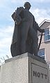
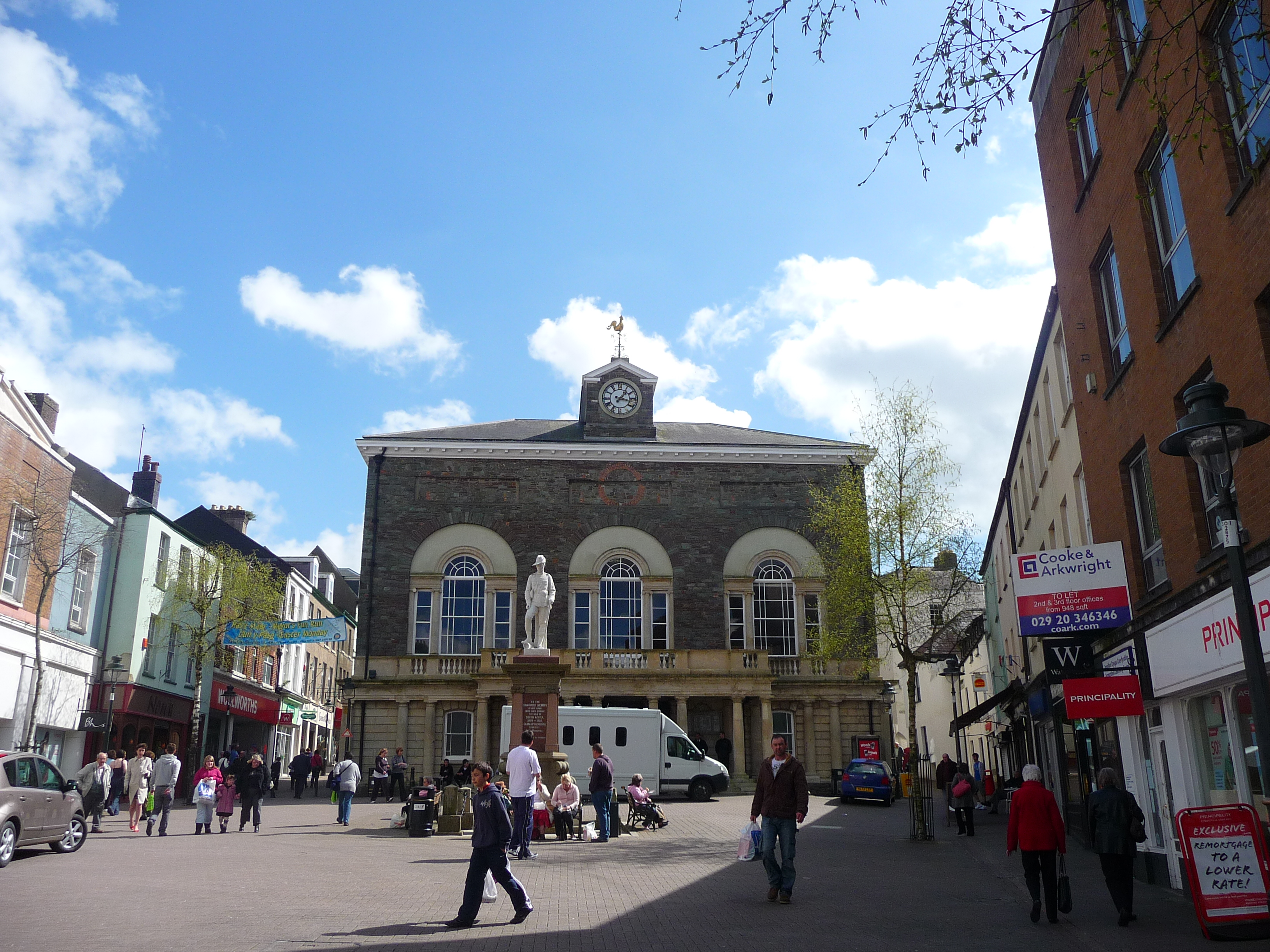
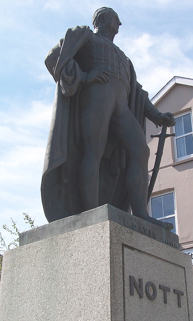
General Nott statue and memorial plaque to Bisop Ferrar
A statue of General Nott was erected in Nott Square in 1851. According to the PMSA, "the bronze statue was cast from cannon captured at the battle of Maharajpur. Queen Victoria gave 200 guineas to the memorial fund. The statue occupies the site of the market cross which was dismantled when the market was resited and Nott Square created in 1846."[8]
The Market Square was the location of the execution of Bishop Robert Ferrar of St Davids in March 1555. A small plaque below the statue of General Nott commemorates the site where the bishop was burned at the stake during the Marian Persecutions.
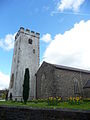
St. Peter's Church
St. Peter's Church is the largest Parish Church in Wales and also has the longest nave being 60 metres from west porch to east window and 15 metres wide across nave and south aisle. It consists of a west tower, nave, chancel, south aisle and a Consistory Court. It is built of local red sandstone and grey shale. The tower contains eight bells with the heaviest weighing 15cwt-1qr-18 lbs in E, just under one tonne. Details of the bells are:
Bell Weight Nominal Note Diameter Cast Founder 1 5-0-8 1303.0 E 28.00" 1904 John Taylor & Co 2 5-2-22 1230.0 D# 29.13" 1904 John Taylor & Co 3 5-2-25 1095.0 C# 31.00" 1722 Abraham II Rudhall 4 6-3-14 976.0 B 33.25" 1722 Abraham II Rudhall 5 7-2-26 869.0 A 35.50" 1904 John Taylor & Co 6 8-1-18 821.0 G# 37.25" 1722 Abraham II Rudhall 7 11-0-10 731.0 F# 41.00" 1722 Abraham II Rudhall 8 15-1-18 652.0 E 45.63" 1904 Charles Carr Sport
Speedway racing was staged in the early 2000s at a track built on the Showgrounds on the western outskirts of the town. The team raced in the Conference League.
The town has its own association football team, Carmarthen Town F.C. who play in the Welsh Premier League. The club was founded in 1948 and have played at their current home ground, Richmond Park, since 1952.
The town has two rugby union teams - Carmarthen Quins and Carmarthen Athletic. The Quins currently play in the Welsh Premier Division league after their promotion to the Premiership in the 2008/2009 season.
CPC Bears are a rugby league club based in Carmarthen and are the regional side for Carmarthenshire, Pembrokeshire and Ceredigion. They play in the Welsh Premier Division of the Rugby League Conference.
The town has two golf courses, a leisure centre with 8-lane 25m swimming pool and synthetic athletics track and an outdoor velodrome. Carmarthen has an athletics team, Carmarthen Harriers.
Transport
Carmarthen railway station is on the West Wales Line. Carmarthen town is served by rail links through to Cardiff via Swansea to the east and Fishguard Harbour, Milford Haven, Tenby, Pembroke and Pembroke Dock to the west. Carmarthen town is served by direct intercity trains to London during the summer. Like many rural areas, it suffered a number of rail closures in the 1960s under the Beeching Axe. The line to Llandeilo was closed in 1963 and to Lampeter and Aberystwyth in 1965.
There is also a Park and Ride service running daily from Monday to Saturday from 7.00 to 19.00 every 15 minutes between Nantyci, to the west of Carmarthen town, and the town centre.
A number of major roads converge on Carmarthen town. These are the A40, A48, A484 and A485 roads
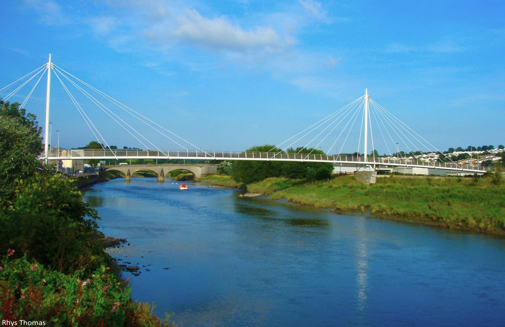
Pont King Morgan
For over a century, the station at Carmarthen town has been isolated from the town on the other side of the River Towy (Tywi) and pedestrians and cyclists had to brave the main road bridge some 200m to the east. This situation has been rectified by the construction of a cable stay bridge linking the station with the foot of Blue Street.[9]
Town regeneration and redevelopment
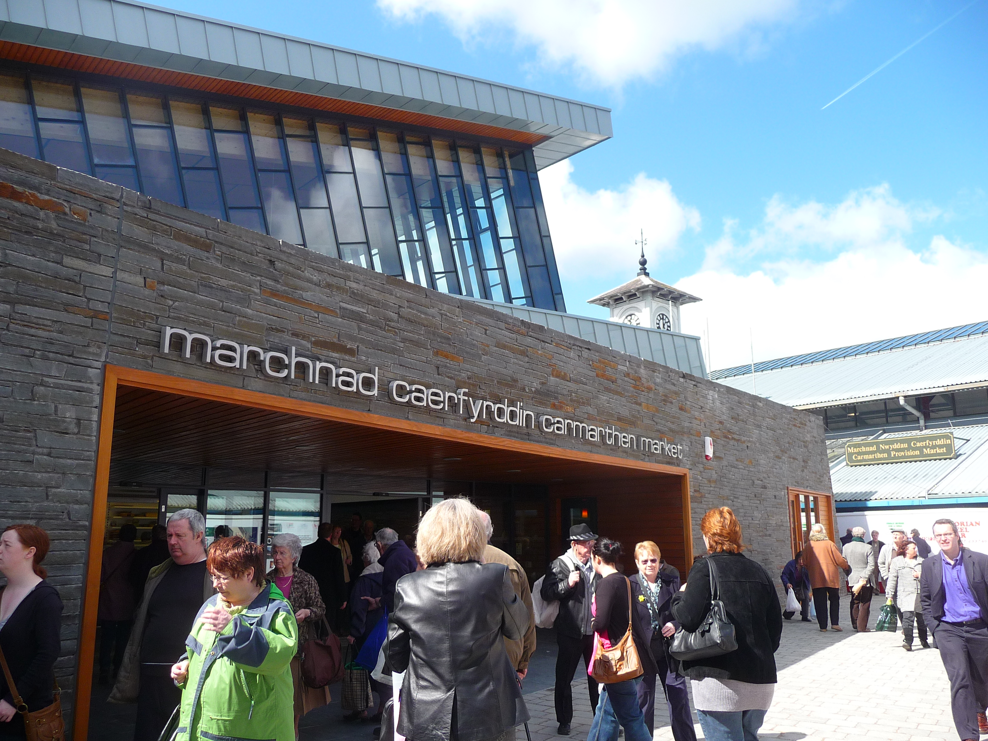
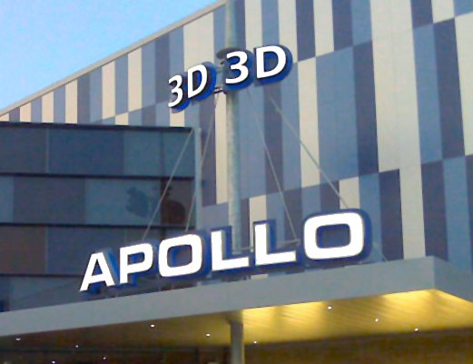
The former cattle market in the heart of the town has undergone regeneration. The new shopping centre opened on 30 April 2010.[10] The development now includes a new Apollo Cinemas multi-screen cinema, Debenhams department store, market hall, restaurants and a multi-storey car park. The new market hall opened on 8 April 2009.[11]
Notable people
- See Category:People from Carmarthen
- See Category:People from Carmarthenshire
- Nicky Stevens, member of pop group Brotherhood of Man.
- The architect John Nash.
- The screenwriter and director Daniel Mulloy.
- The drummer John Weathers.
- The musician Nik Turner.
- The Scarlets Full Back Daniel Newton.
- The Northampton Saints Centre Rhodri Gomer-Davies.
- The snooker pro Matthew Stevens.
- The Scarlets Centre Scott Williams was in the Wales senior team against the Barbarians on 4 June 2011 as a second half replacement.
- The Scarlets Full-Back Rhys Priestland made his debut for Wales senior team in 2011 Six Nations Championship against Scotland as a second half replacement.
- The Scarlets scrum-half Gareth Davies.
- The Scarlets hooker Ken Owens.
- The Perrier Award Best Newcomer-nominated comedian Rhod Gilbert.
- The Wales rugby captain, Stephen Jones.
- The Vice-Chancellor of the University of Cambridge from 1989 to 1996, Professor Sir David Glyndwr Tudor Williams.
- The writer Byron Rogers
- The archaeozoologist Dorothea Bate
- The former Wales international rugby union player William Norton
- The former Wales and Aston Villa defender Mark Delaney
- The former British and Irish Lions hooker Barry Williams
- The band Gorky's Zygotic Mynci, formed in Carmarthen
- Fflur Dafydd, writer and musician
- Wynne Evans, opera and concert singer
- Geraint Griffiths, singer, songwriter and actor
- The actor and singer/songwriter Iwan Rheon
-
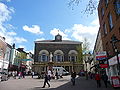
Guildhall Square.
-
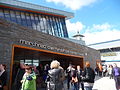
The new Market building opened April 2009.
-

Apollo Cinema- The most modern purpose built Cinema in Europe.[12]
-
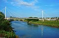
King Morgan Footbridge.
-

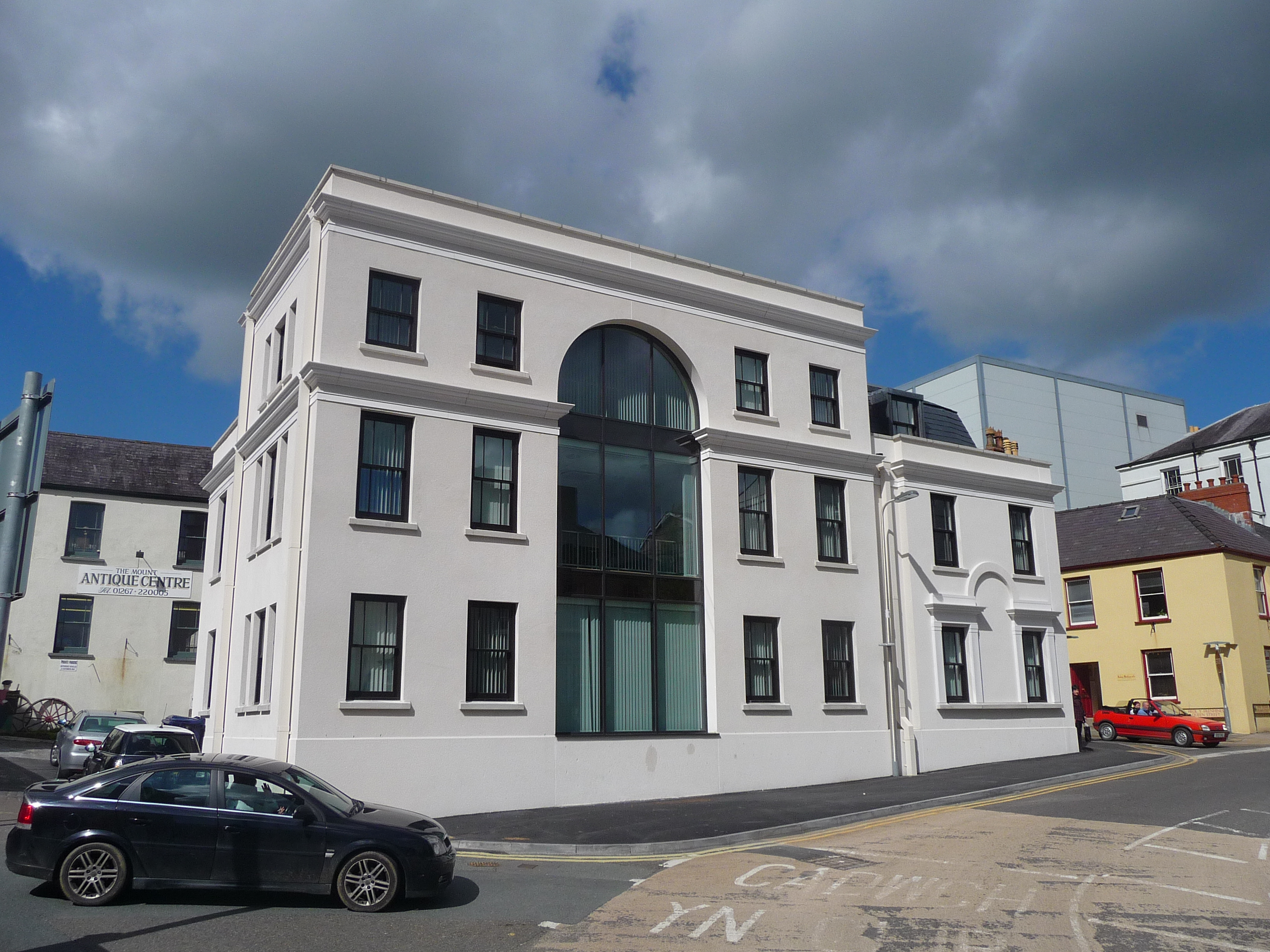
The Mount.
-
County Hall- Home of Carmarthenshire County Council.
-
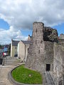
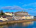
Carmarthen Castle.
-
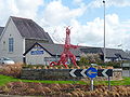
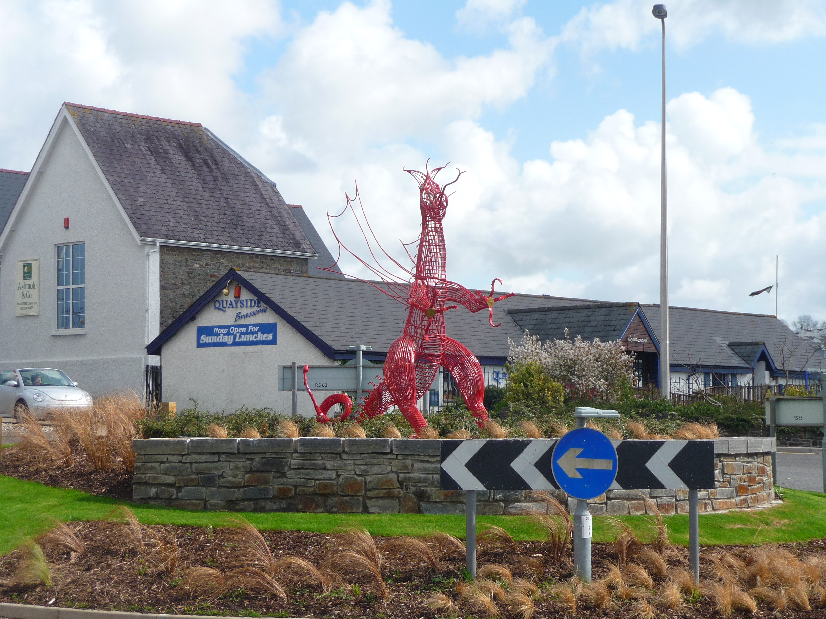
The Red Dragon art work on a roundabout.
-
St Peter's Church.
-
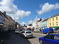
Lammas St.
-

Park And Ride Service.
-
Statue of William Nott.
References
- ^ Paxton, John (1999). The Penguin Encyclopedia of Places. Penguin. pp. 174. ISBN 0140512756.
- ^ "KS01 Usual resident population: Census 2001, Key Statistics for urban areas". Office for National Statistics. http://www.statistics.gov.uk/StatBase/ssdataset.asp?vlnk=8271&Pos=2&ColRank=1&Rank=224. Retrieved 30 August 2010.
- ^ a b Davies, John; Jenkins, Nigel (2008). The Welsh Academy Encyclopaedia of Wales. Cardiff: University of Wales Press. p. 123. ISBN 9780708319536.
- ^ "Roman treasure discovered on farm". BBC News. 17 June 2006. http://news.bbc.co.uk/1/hi/wales/5089504.stm. Retrieved 28 April 2010.
- ^ The Princeton Encyclopedia of Classical SitesMachine readable text
- ^ Philip Ziegler, The Black Death, Penguin, 1969, p199
- ^ Wales and the Law
- ^ Public Monument and Sculpture Association on General Nott Statue from National Recording Project
- ^ http://www.lunemillenniumbridge.info/Carmarthen.html
- ^ [1] BBC NEWS | UK | Wales | South West Wales | Carmarthen's £74m retail centre opens
- ^ BBC NEWS | UK | Wales | South West Wales | Revamp of town cattle mart starts
- ^ http://www.abayoflife.com/en/news/carmarthen-cinema-set-to-be-one-of-the-most-modern-in-europe/
External links
Communities of Carmarthenshire Abergwili · Abernant · Ammanford · Betws · Bronwydd · Carmarthen · Cenarth · Cilycwm · Cilymaenllwyd · Cwmamman · Dyffryn Cennen · Cynwyl Elfed · Cynwyl Gaeo · Eglwyscummin · Gorslas · Henllanfallteg · Kidwelly · Laugharne Township · Llanarthney · Llanboidy · Llanddarog · Llanddeusant · Llanddowror · Llandeilo · Llandovery · Llandybie · Llandyfaelog · Llanedi · Llanegwad · Llanelli · Llanelli Rural · Llanfair-ar-y-bryn · Llanfihangel Aberbythych · Llanfihangel Rhos-y-Corn · Llanfihangel-ar-Arth · Llanfynydd · Llangadog · Llangain · Llangathen · Llangeler · Llangennech · Llangunnor · Llangyndeyrn · Llangynin · Llangynog · Llanllawddog · Llanllwni · Llannon · Llanpumsaint · Llansadwrn · Llansawel · Llansteffan · Llanwinio · Llanwrda · Llanybydder · Llanycrwys · Manordeilo and Salem · Meidrim · Myddfai · Newcastle Emlyn · Newchurch and Merthyr · Pembrey and Burry Port Town · Pencarreg · Pendine · Pontyberem · Quarter Bach · St Clears · St Ishmael · Talley · Trelech · Trimsaran · Whitland
Categories:- Communities of Carmarthenshire
- Towns in Carmarthenshire
- Arthurian locations
- Swansea Bay (region)
- Welsh county towns
- Staple ports
- Market towns in Wales


Wikimedia Foundation. 2010.