- Massachusetts Route 60
-
Route 60

Route information Length: 14.33 mi[1] (23.06 km) Major junctions West end:  U.S. Route 20 in Waltham
 Route 2 in Arlington
 U.S. Route 3 in Arlington
 Interstate 93 in Medford
 Route 28 in Medford
 U.S. Route 1 in Revere
 Route 107 in Revere
East end: 
 Routes 1A/16 in Revere
Highway system Massachusetts State Highway Routes
←  Route 58
Route 62  →
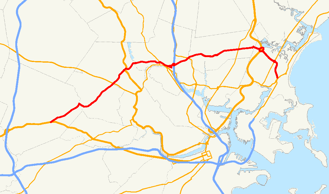
→Route 60 is an east–west state highway running through the northern suburbs of Boston.
Route description
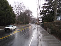
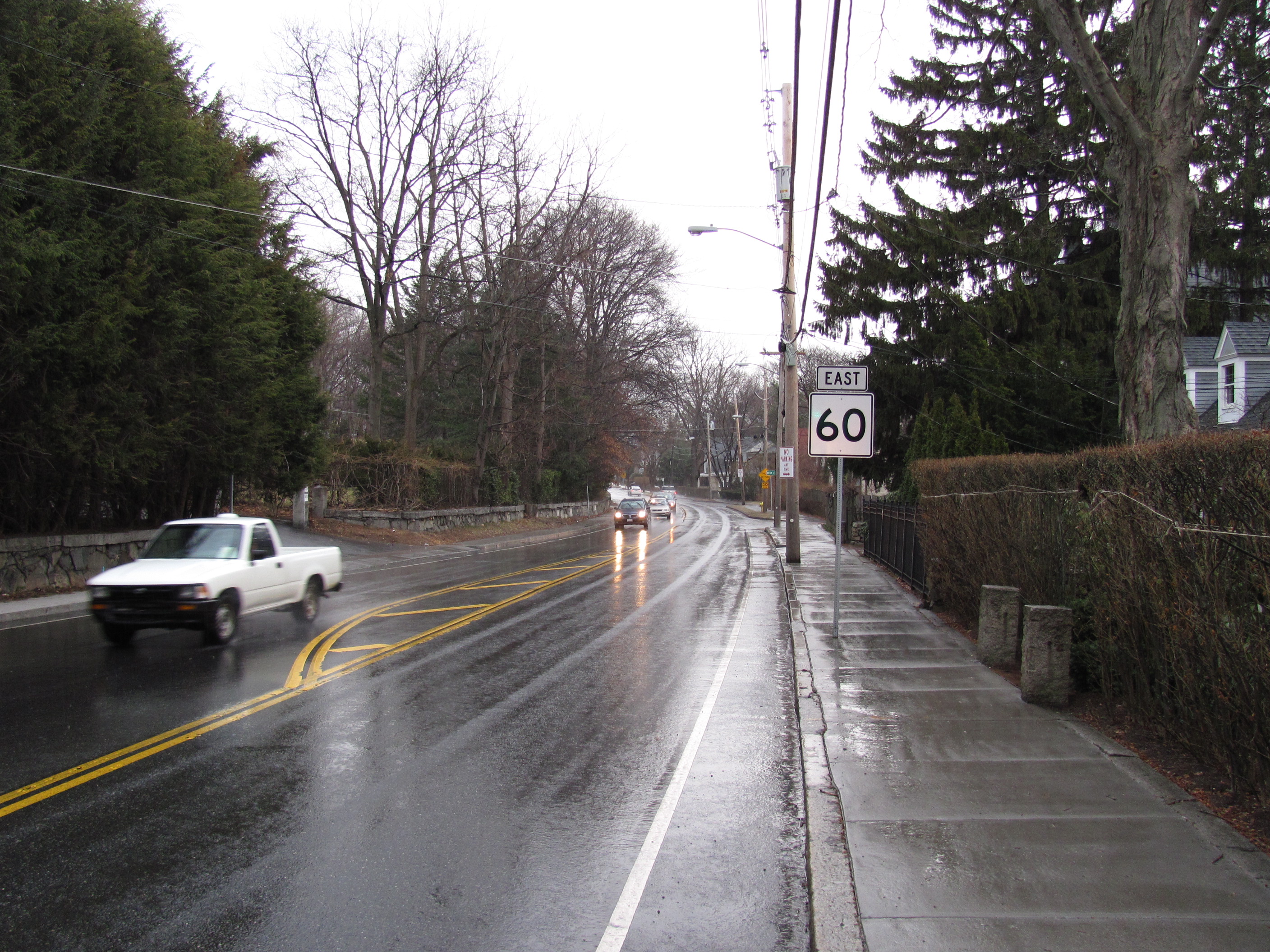
Route 60 begins at U.S. Route 20 in Waltham, just east of downtown. It then heads eastward, passing through the center of Belmont before intersecting in Arlington with Route 2 at that route's Exit 59 eastbound. From there, Route 60 joins U.S. Route 3 and Route 2A for a brief 0.1 miles (0.16 km) concurrency, starting at Massachusetts Avenue. It then turns eastward off of that route, crossing the Mystic River into Medford.
In Medford it passes the West Medford commuter rail station before intersecting Route 38 at Winthrop Square. From there Route 60 heads into downtown Medford, splitting at Main Street (just north of the Mystic Valley Parkway and Route 16) before rejoining at Medford City Hall to pass under Interstate 93 at Exit 32. Route 60 continues eastward, crossing Route 28 (the Fellsway West) at Stevens Square before entering Malden.In Malden, Route 60 passes through downtown, passing the Malden Center MBTA station, which has access to both the Orange Line and the Haverhill Line. Route 60 intersects Route 99 in the eastern part of town before entering the city of Revere.
In Revere, the route intersects U.S. Route 1 at Copeland Circle, where the Northeast Expressway was planned to continue northward to carry Interstate 95 to its current path north of Route 128. (The route was never completed due to opposition, but the ramp stubs are visible crossing the northeastern part of the circle.) From Copeland Circle, Route 60 continues eastward, south of the Rumney Marsh Reservation. It crosses Route 107 at Brown Circle before turning southward as American Legion Highway, finally ending at the intersection of Route 1A and the eastern end of Route 16, at Mahoney Circle. Route 60's right of way continues through the circle and links directly to that of Route 1A's.
The state reconstructed the section from Trapelo Road to Brighton Road in 2007. The state will reconstruct the section from Pleasant Street to the Waltham city line in 2012.
Junction list
 Eastbound in Belmont
County Location Milepost Roads Intersected Notes Middlesex Waltham 0.00 U.S. Route 20Western terminus of Route 60. Arlington 3.9 Route 2Route 2 Exit 59. 4.9 U.S. Route 3
 Route 2A
Western terminus of US-3/Route 2A/60 concurrency at Mass Ave. 5.0 U.S. Route 3
Route 2AEastern terminus of US-3/Route 2A/60 concurrency. Medford 6.9  Route 38
Winthrop Square – Access to Route 16 / Mystic Valley Parkway via Route 38 southbound. 7.4 Main Street Route 60 eastbound & northbound split onto one-way streets.
South to at Mystic Valley Parkway.7.7 Interstate 93I-93 Exit 32. 8.6 Route 28Fellsway West Malden 11.2  Route 99
Suffolk Revere 12.4 U.S. Route 1Copeland Circle 13.4 Route 107Beginning of American Legion Highway as Route 60. 14.33 Route 1A
Route 16Eastern terminus of Routes 60 & 16 at Mahoney Circle.
American Legion Highway continues as Lee-Burbank Highway on Route 1A.
To Route 145.
References
Categories:- Numbered routes in Massachusetts

Wikimedia Foundation. 2010.