- Cramahe, Ontario
-
"Tubbs Corners" redirects here. For Tubbs Corner in Texas, see Tubbs Corner, Texas.
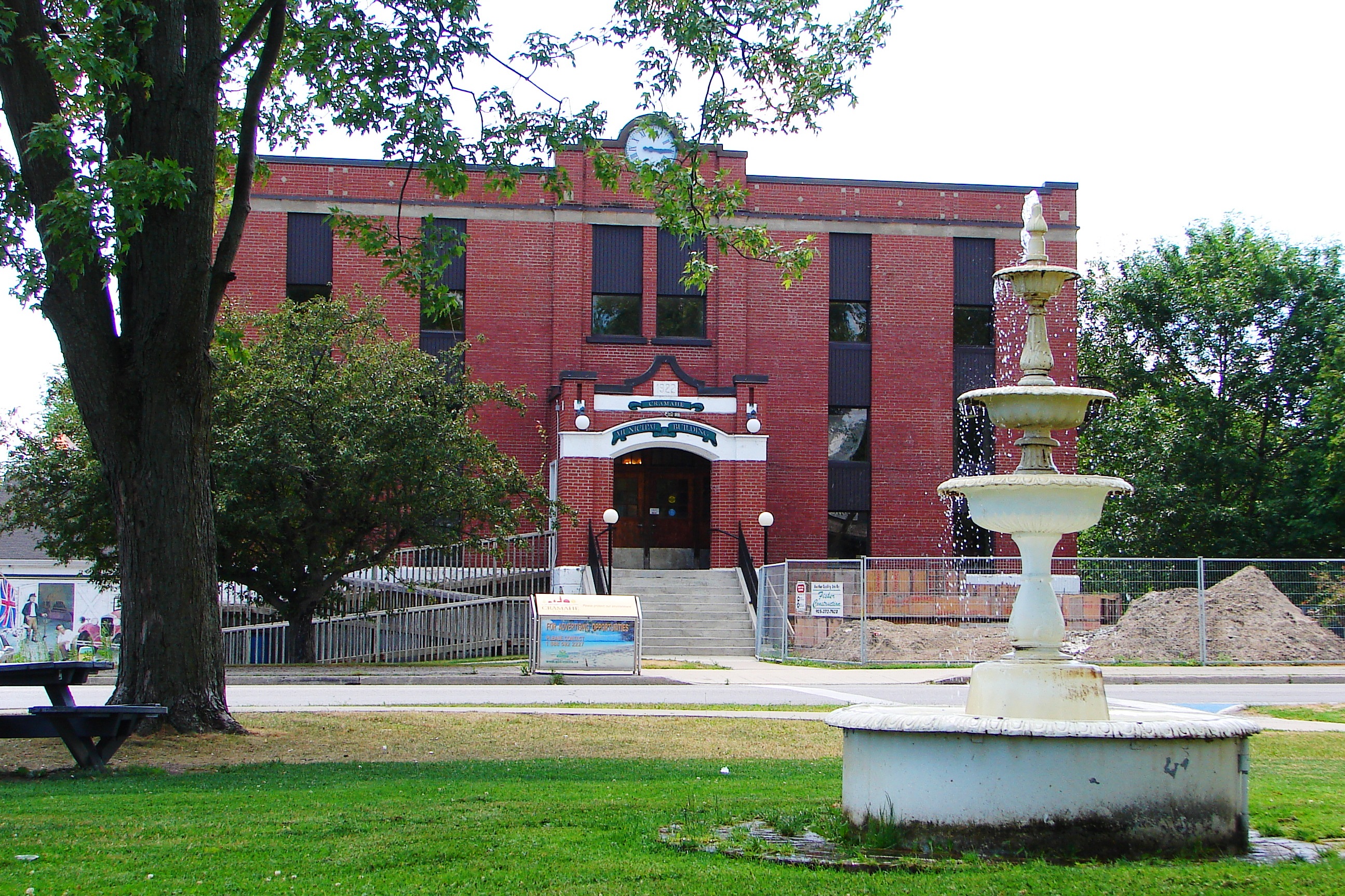
Cramahe — Township — Township hall in Colborne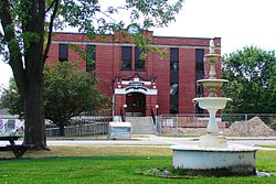
 Cramahe
Coordinates: 44°05′N 77°53′W / 44.083°N 77.883°WCoordinates: 44°05′N 77°53′W / 44.083°N 77.883°W Country  Canada
Province  Ontario
County Northumberland Established 1850 Government - Mayor Marc Coombs - Federal riding Northumberland—Quinte West - Prov. riding Northumberland—Quinte West Area[1] - Land 201.56 km2 (77.8 sq mi) Population (2006)[1] - Total 5,950 - Density 29.5/km2 (76.4/sq mi) Time zone EST (UTC-5) - Summer (DST) EDT (UTC-4) Postal code K0K 1S0 Area code(s) 905 Website www.visitcramahe.ca  Colborne
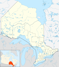
Cramahe is a rural township located in Northumberland County in central Ontario, Canada.
Joseph Keeler opened a store on the site of present-day Colborne about 1819. A community began to grow as other small businessmen followed suit. With the opening of harbour facilities in the 1940 and the arrival of the railway in the 1850s, Colborne became an important service centre for the region. [2] Cramahe was incorporated as a township in 1850. In 1858, the village of Colborne seceded from the municipality as a separate township. In 2001, the two municipalities were re-amalgamated to form an expanded Township of Cramahe.
Contents
Communities
The township comprises the communities of Castleton, Colborne, Dundonald, East Colborne, Edville, Greenleys Corners, Griffis Corners, Loughbreeze, Morganston, Purdy Corners, Salem, Shiloh, Tubbs Corners and Victoria Park.
Originally named Keeler's Creek, Colborne (44°00′20″N 77°53′20″W / 44.00556°N 77.88889°W) was named after Sir John Colborne, Lieutenant Governor of Upper Canada, by Joseph Abbott Keeler in 1829. Colborne was incorporated as a village in 1858 with a population of approximately 700 people. In 2001, Colborne and Cramahe Township were amalgamated as part of municipal restructuring to form an expanded Township of Cramahe. At the time of dissolution, Colborne had a population of 2,040 over an area of 5.2 square kilometres.
Colborne is the home of the "Big Apple," a tourist attraction located near Highway 401. With a height of 10.7 metres and diameter of 11.6 metres, the Big Apple is billed as the largest apple in the world. There is an observation deck on top of the apple, a restaurant and other amenities on the premises.
Demographics
According to the Canada 2006 Census:[1]
- Population: 5,950
- % Change (2001-2006): +4.1%
- Area (km².): 201.56
- Density (persons per km².): 29.5
- Private dwellings occupied by usual residents: 2260 (total dwellings: 2548)
- Mother tongue:
- English as first language: 92.4 %
- French as first language: 0.9 %
- English and French as first language: 0.2 %
- Other as first language: 6.5 %
Population trend:[3]
- Population in 2006: 5950
- Population in 2001: 5713
- Population in 1996:
- Cramahe (township): 3420
- Colborne (village): 2054
- Population in 1991:
- Cramahe (township): 3108
- Colborne (village): 2001
References
- ^ a b c Statistics Canada 2006 Census - Cramahe community profile
- ^ http://www.heritagefdn.on.ca/userfiles/HTML/nts_1_5384_1.html Founding of Colborne
- ^ Statistics Canada: 1996, 2001, 2006 census
External links

Trent Hills Alnwick/Haldimand 
Brighton  Cramahe

Lake Ontario Categories:- Township municipalities in Ontario
- Municipalities in Northumberland County, Ontario


Wikimedia Foundation. 2010.