- Estrées-Deniécourt
French commune|name= Estrées-Deniécourt
x = 140
y = 39
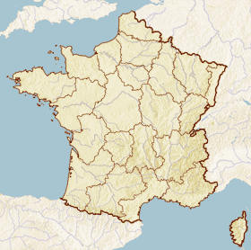
region=Picardie
departement=Somme
arrondissement= PéronneEstrées-Deniécourt
canton=Chaulnes
insee=80288
cp=80200
maire= Pascal Vanysacker
mandat=2001 -2008
intercomm=Communauté de communes de Haute Picardie
alt moy=75 m
alt mini=69 m
alt maxi=85 m
hectares=645
km²=6,45
sans=245
date-sans=1999
dens=37|Estrées-Deniécourt is a commune in the
Somme "département" in thePicardie region ofFrance .Geography
The commune lies on the national highway N29, at the junction with the A1 autoroute, west of the River Somme and 28 miles east of
Amiens It has the remains of aRoman road , the "Chaussée Brunehaut" passing through the village.History
It was the scene of heavy fighting during the
Battle of the Somme . The probable (unmarked) burial site ofRaynal Bolling , the first U.S. officer of high rank to fall in combat.The Estrées-Deniécourt Military Cemetery, is located at the west end of the village and the German Cemetery is located on the way to the commune of Fay.
Miscellaneous
The commune holds an annual "brocante" (flea-market) each June.It is one of many villages in the north of France bearing the name
Estrées .Population
ee also
*
Communes of the Somme department
* frExternal links
* [http://www.recensement.insee.fr/RP99/rp99/co_navigation.co_page?nivgeo=C&codgeo=80288&theme=ALL&typeprod=ALL&lang=FR&quelcas=LISTE Estrées-Deniécourt on the Insee website] fr
* [http://www.quid.fr/communes.html?mode=query&req=Estrées-Deniécourt Estrées-Deniécourt on the Quid website] frNotes
*"This article is based on the original and the equivalent article from the
French Wikipedia , consulted on February 12th 2008."
Wikimedia Foundation. 2010.