- Rutland, Massachusetts
Infobox Settlement
official_name = Rutland, Massachusetts
nickname =
motto =
imagesize =
image_caption =
image_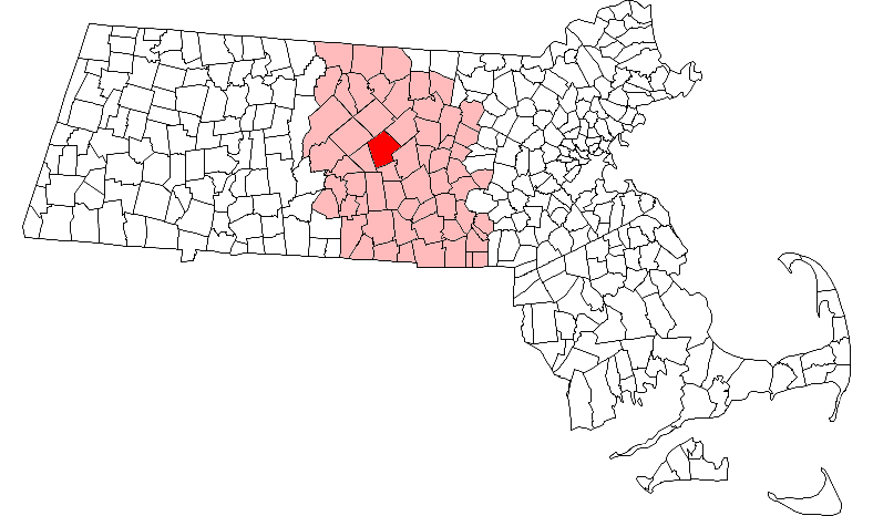
mapsize = 250px
map_caption = Location in Worcester County in Massachusetts
mapsize1 =
map_caption1 =
subdivision_type = Country
subdivision_name =United States
subdivision_type1 = State
subdivision_name1 =Massachusetts
subdivision_type2 = County
subdivision_name2 = Worcester
established_title = Settled
established_date = 1686
established_title2 = Incorporated
established_date2 = 1713
established_title3 =
established_date3 =
government_type =Open town meeting
leader_title =
leader_name =
leader_title1 =
leader_name1 =
area_magnitude =
area_total_km2 = 94.3
area_total_sq_mi = 36.4
area_land_km2 = 91.3
area_land_sq_mi = 35.3
area_water_km2 = 3.0
area_water_sq_mi = 1.2
population_as_of = 2000
settlement_type = Town
population_total = 6353
population_density_km2 = 69.6
population_density_sq_mi = 180.2
elevation_m = 339
elevation_ft = 1112
timezone = Eastern
utc_offset = -5
timezone_DST = Eastern
utc_offset_DST = -4
latd = 42 |latm = 22 |lats = 10 |latNS = N
longd = 71 |longm = 56 |longs = 55 |longEW = W
website =
postal_code_type = ZIP code
postal_code = 01543
area_code = 508 /Area code 886/886
blank_name = FIPS code
blank_info = 25-58825
blank1_name = GNIS feature ID
blank1_info = 0618381
footnotes =Rutland is a town in Worcester County,
Massachusetts ,United States . The population was 6,353 at the 2000 census. Worcester County's only buffalo herd is located in Rutland, at Alta Vista Farm. Rutland is the geographic center of Massachusetts; a tree, The Central Tree, located on Central Tree Rd. marks the general spot.For geographic and demographic information on the
census-designated place Rutland, please see the article Rutland (CDP),Massachusetts .History
The Town of Rutland is a residential hill town. Rutland's original lands of about 12 square miles were purchased from natives in Natick's Indian Praying Town in 1686. Frontier hostilities delayed settlement and the land was not divided into lots until 1714 when 62 lots of 30 acres each were finally distributed. Settlers in Rutland came from older eastern towns, like Boston, Lexington, Concord and Sudbury. First settled in 1719, the town suffered repeated Indian attacks, with the last death from Indian warfare recorded in 1724. There were about 1,000 people in the town in 1765 when a disastrous epidemic of
dysentery killed 60 children.The early economy included agriculture and grazing. The first
gristmill was built on Mill Brook in 1719, and the town was the one of the earliest in the county to establish asubscription library , before 1796. Three small villages grew up around the water powered mills of the town by 1830 and there was small-scale production of chairs, carriages, and woodenware. A tannery was opened in the 1840s to supply local boot and shoe makers, and palm leaf hats were produced in quantity. The town's fresh air and still-rural environment drew increasing numbers of visitors, and Rutland became a minor recreational and health resort in the 1880s. In 1883 Muschapogue House hotel was built. This development was followed by the building in 1898 of the Massachusetts Hospital for Consumptive and Tubercular Patients, a state prison camp and hospital, as well as the opening of a handful of small private TB sanitoria.Geography
According to the
United States Census Bureau , the town has a total area of 36.4square mile s (94.3km² ), of which 35.3 square miles (91.3 km²) is land and 1.1 square miles (3.0 km²) (3.16%) is water. According to the Massachusetts Department of Housing and Community Development (DHCD), Rutland is bordered by Princeton on the northeast, Holden on the east, Paxton on the southeast, Oakham on the southwest, and Barre and Hubbardston on the northwest. Rutland is about 13 miles northwest of Worcester, 52 miles west of Boston, and 181 miles from New York City. Rutland is the highest town between the Berkshires and the Atlantic. The town common is 1200 feet above sea level. It is also the "exact" geographical center ofMassachusetts .Demographics
Infobox Mass Town Govt
align = right
wraparound = yes
county= Worcester
clerk_courts = Dennis P. McManus (D)
cty_treasurer = Position Eliminated
da = Joseph D. Early, Jr. (D)
deeds = Anthony J. Vigliotti (D)
probate = Stephen Abraham (D)
sheriff = Guy W. Glodis (D)
state_rep = Lewis G. Evangelidis (R)
state_sen = Stephen M. Brewer (D)
gov_councilors = Thomas J. Foley (D)
fed_rep = James P. McGovern (D-3rd District),
fed_sen =Edward Kennedy (D)John Kerry (D)As of the year 2008, there were approximately 8,257 people, 2,300 households, and 1,721 families residing in the town. Thepopulation density was 180.2 people per square mile (69.6/km²). There were 2,392 housing units at an average density of 67.8/sq mi (26.2/km²). The racial makeup of the town was 96.58% White, 1.04% Black or African American, 0.14% Native American, 0.46% Asian, 0.44% from other races, and 1.34% from two or more races. Hispanic or Latino of any race were 1.32% of the population.There were 2,253 households out of which 42.3% had children under the age of 18 living with them, 64.1% were married couples living together, 8.6% had a female householder with no husband present, and 24.8% were non-families. 19.9% of all households were made up of individuals and 6.6% had someone living alone who was 65 years of age or older. The average household size was 2.77 and the average family size was 3.21.
In the town the population was spread out with 30.8% under the age of 18, 6.1% from 18 to 24, 33.8% from 25 to 44, 21.7% from 45 to 64, and 7.7% who were 65 years of age or older. The median age was 35 years. For every 100 females there were 102.1 males. For every 100 females age 18 and over, there were 95.6 males.
The median income for a household in the town was $62,846, and the median income for a family was $70,689. Males had a median income of $45,824 versus $35,390 for females. The
per capita income for the town was $23,311. About 1.5% of families and 3.3% of the population were below thepoverty line , including 2.0% of those under age 18 and 7.3% of those age 65 or over.Town customs and events
Each year, Rutland holds a four-day-long
Fourth of July celebration, beginning onJuly 1 . Events include performances by area musicians, a lip-sync concert, chicken barbecue hosted by the local Fire Brigade, a Historical Society Lemonade Social, and an acclaimed fireworks show. On the Fourth, Rutland holds a parade with floats made by local organizations and special guests including local and regional politicians.August also brings in the Central Tree Chowder Challenge, an event hosted and sponsored by the Rutland Fire Brigade. Area restaurants compete for local bragging rights for having the best area
clam chowder . With two ways to "win", restaurants compete for both the people's choice as well as the votes of their peers and competitors.While the main draw to the day is the clam chowder, the event has evolved into a family-oriented day. There is no admission fee except for those who wish to sample the chowder. However, there are also pony rides, face painting, "exotic" animal exhibits, inflatable rooms for kids, a free "train ride" (a lawn tractor towing 3 cars around the local athletic track), as well as miscellaneous vendors, both local and from surrounding towns. Proceeds go to the local Fire Brigade, which uses the money for restoration of the Town's original Fire Station, and also to help supplement the expenses of the Fire Department by purchasing much needed equipment that would otherwise have to wait for Town funding.
References
External links
* [http://www.mass.gov/portal/index.jsp?pageID=mg2localgovccpage&L=3&L0=Home&L1=State%20Government&L2=Local%20Government&sid=massgov2&selectCity=Rutland Massachusetts state community page for Rutland]
* [http://www.townofrutland.org/ Official Town of Rutland Website]
* [http://www.rutlandma-4thofjuly.org/ Rutland MA 4th of July]
* [http://www.thetownofrutland.com/ Wachusett Region town page for Rutland]
* [http://www.rutlandmahistorical.org/ Rutland MA Historical Society]
* [http://www.rutlandcropwalk.com/ Rutland MA Crop Hunger Walk]
Wikimedia Foundation. 2010.