- Downtown Relief Line
-
The Downtown Relief subway line is a subway line planned for Toronto, Canada, but not yet constructed. Various plans along the basic right-of-way have been proposed since the earliest history of the Toronto subway system, which are collected in the Queen Street subway article.
Contents
History
The Downtown Relief Line (also known as the Downtown Rapid Transit/DRT) was originally one of the three routes proposed in the Network 2011 plan[1] which the Toronto Transit Commission (TTC) released in 1985. Its main purpose was to relieve the forecast overcrowding on the Yonge line, particularly at Bloor-Yonge station. The Downtown Relief Line disappeared from the transit radar soon after the province delayed approving Metropolitan Toronto's Network 2011 plan. The provincial government was alarmed over the construction cost and withdrew political support for the new line.
Former TTC Chair Adam Giambrone had started to support the construction of such a line, saying it will be a necessity after Transit City, sometime from 2018-2020; Metrolinx Chair Rob MacIsaac recently said that the line is unlikely to be brought forward from its projected 2020 start date.[2] Rob MacIsaac also referred to this as the Queen line, and as such it may not follow the 1985 proposed alignment.
Proposed 1985 routes
- Alignment Proposals[3]

Downtown Rapid Transit
Between Dundas West or Keele and Eglinton EastProposed 1985 stations
Stations on the proposed Downtown line in Phase 1
- South Spadina (or Lower Spadina)
- Skydome (since renamed Rogers Centre)
- Union
- St. Lawrence
- Ataratiri
- Queen East
- Gerrard
- Pape
Stations proposed for an eastward extension
- Cosburn
- Thorncliffe Park
- Flemingdon Park
- Eglinton East
Stations proposed for a westward extension
Three possible alignments were considered for the westward extension. The least expensive would follow the railway right-of-way past the Exhibition and up to the Galt-Weston railway corridor, taking it to Dundas West station. Another alternative would go west of Strachan along the Oakville Sub to Roncesvalles, where it would turn north to connect to the Bloor line at Dundas West. The final alignment considered ran along an elevated guideway on Parkside Drive at the edge of High Park to Keele Station.[3]
Galt-Weston Railway Corridor
- Fort York
- Exhibition
- Parkdale (or Queen West)
- College West
- Dundas West
Roncesvalles Avenue Alignment
- Fort York
- Exhibition
- Roncesvalles
- Howard Park
- Dundas West
Parkside Drive Alignment
- Fort York
- Exhibition
- Roncesvalles
- Howard Park
- Keele
See also
- Don Mills LRT
- Lower Queen Station
- Toronto Transit Commission
- Toronto Transportation Commission
- Eglinton West subway
- Queen Street subway
References
- ^ "Network 2011 -- To think of what could have been". Transit Toronto. 2006-11-10. http://transit.toronto.on.ca/subway/5111.shtml. Retrieved 2008-09-16.
- ^ Barry Hertz (2008-09-04). "New subway line still a way's off, Metrolinx head says". National Post. http://network.nationalpost.com/np/blogs/toronto/archive/2008/09/03/new-subway-line-still-a-way-s-off-metrolinx-head-says.aspx. Retrieved 2008-09-16.
- ^ a b Jonathan English (2006-11-10). "The Downtown Relief Line Proposal". Transit Toronto. http://transit.toronto.on.ca/subway/5113.shtml. Retrieved 2008-09-16.
External links
- DRL Now! - A website dedicated to promotion of the Downtown Relief Line
- Downtown Relief Line at Transit Toronto
- An article in The Intrepid on speculative transit maps for Toronto
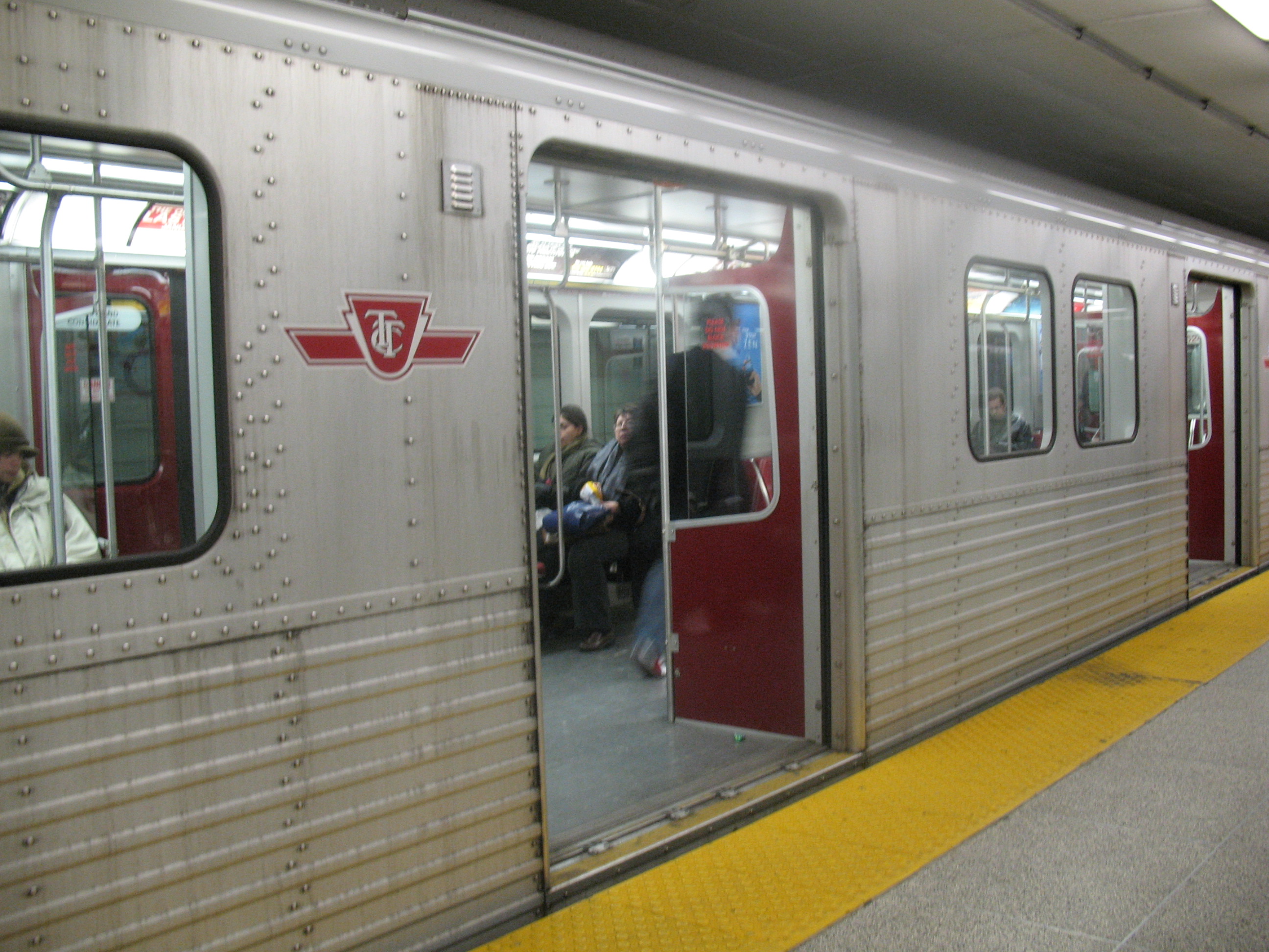
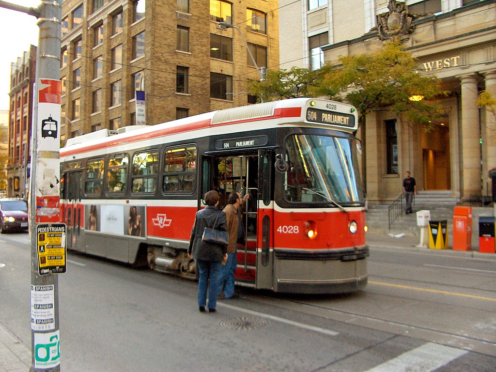
Toronto Transit Commission Buses Blue Night Network • Fleet • Routes • Wheel-Trans • York University Busway
Subway/RT Bloor–Danforth • Scarborough RT (Eglinton–Scarborough Crosstown) • Sheppard • Yonge–University–Spadina • Rolling stock • Stations • SignalsStreetcar system 501 Queen • 502 Downtowner • 503 Kingston Rd • 504 King • 505 Dundas • 506 Carlton • 508 Lake Shore • 509 Harbourfront • 510 Spadina • 511 Bathurst • 512 St. Clair • Rolling stock • LoopsFacilities Arrow Road Bus Garage • Birchmount Bus Garage • Davisville Subway Yard • Eglinton Bus Garage • Greenwood Subway Yard • Hillcrest Complex • Lakeshore Bus Garage • Malvern Bus Garage • McCowan RT Yard • Mount Dennis Bus Garage • Queensway Bus Garage • Roncesvalles Carhouse • Russell Carhouse • Toronto Coach Terminal • Vincent Subway Yard • Wilson Bus Garage and Subway Yard • William McBrien BuildingHistory Williams Omnibus Bus Line • Toronto Street Railway • Toronto Suburban Railway Company • Toronto Railway Company • Toronto Civic Railways • Toronto Transportation Commission • Defunct facilities • Toronto Island Ferry • Gray Coach • Queen line • Lower Queen • Municipal Service Car • Network 2011 • Downtown Relief Line • 1995 Russell Hill subway accident • Eglinton West line • 2006 wildcat strike • 2008 strike • Transit City • Special Constable ServicesMiscellaneous Accessibility • Communications and Information System • Fares • Metrolinx • Obay • Personnel • Toronto Subway FontItalics indicate a proposed route or project under constructionCategories:- Toronto subway and RT
- Proposed public transport in Canada
Wikimedia Foundation. 2010.