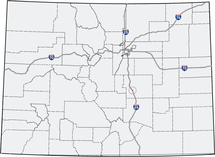
- Colorado State Highway 16
-
State Highway 16
Mesa Ridge Parkway 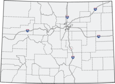
Route information Maintained by CDOT Length: 3.118 mi[1] (5.018 km) Major junctions West end: Frontage Road  I-25
I-25
 US 85 – Fountain
East end:  SH 21
SH 21Location Counties: El Paso Highway system ←  SH 15
SH 15SH 17  →
→State Highway 16 is a short east–west route in El Paso County, south of Colorado Springs. Highway 16 constitutes the westernmost portion of a longer road known as the Mesa Ridge Parkway.
The eastern and western termini of this highway are both in the city of Fountain. However, part of the route passes through an unincorporated area of El Paso County.
Contents
Route description
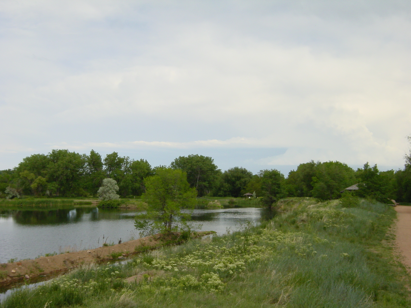
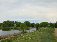 Fountain Creek near Fountain, Colorado, near SH 16
SH 16 begins with an interchange at I-25, which also provides access to Frontage Road.[2] From here, it heads southeast, crosses Fountain Creek, and intersects US 85. It then becomes four lanes[2] and curves northward. From there, it extends east several miles eastward and ends at SH 21, known there as Powers Boulevard.
History
The route was established in 1971 from I-25 east to US 85, totaling about one mile.[2] It was gradually extended until 2007, when Mesa Ridge Parkway was added to the route, and the route length almost tripled.[2]
Major intersections
The entire route is located in El Paso County.
Location Mile[1] Destination Notes 0.000 Frontage Road West end of route Fountain 0.115 I-250.996 US 85Old end of route 3.118 SH 21East end of route References
- ^ a b "Segment list for SH 16". http://www.dot.state.co.us/app_DTD_DataAccess/Highways/index.cfm?fuseaction=Description&route=016&begRefPt=0&endRefPt=500&Printable=true. Retrieved 2007-05-12.
- ^ a b c d "Colorado Routes 1-19". http://www.mesalek.com/colo/r1-19.html#16. Retrieved April 1, 2010.
External links
Categories:- Fountain, Colorado
- Transportation in El Paso County, Colorado
- State highways in Colorado

Wikimedia Foundation. 2010.