- Culcairn, New South Wales
Infobox Australian Place | type = town
name = Culcairn
state = nsw
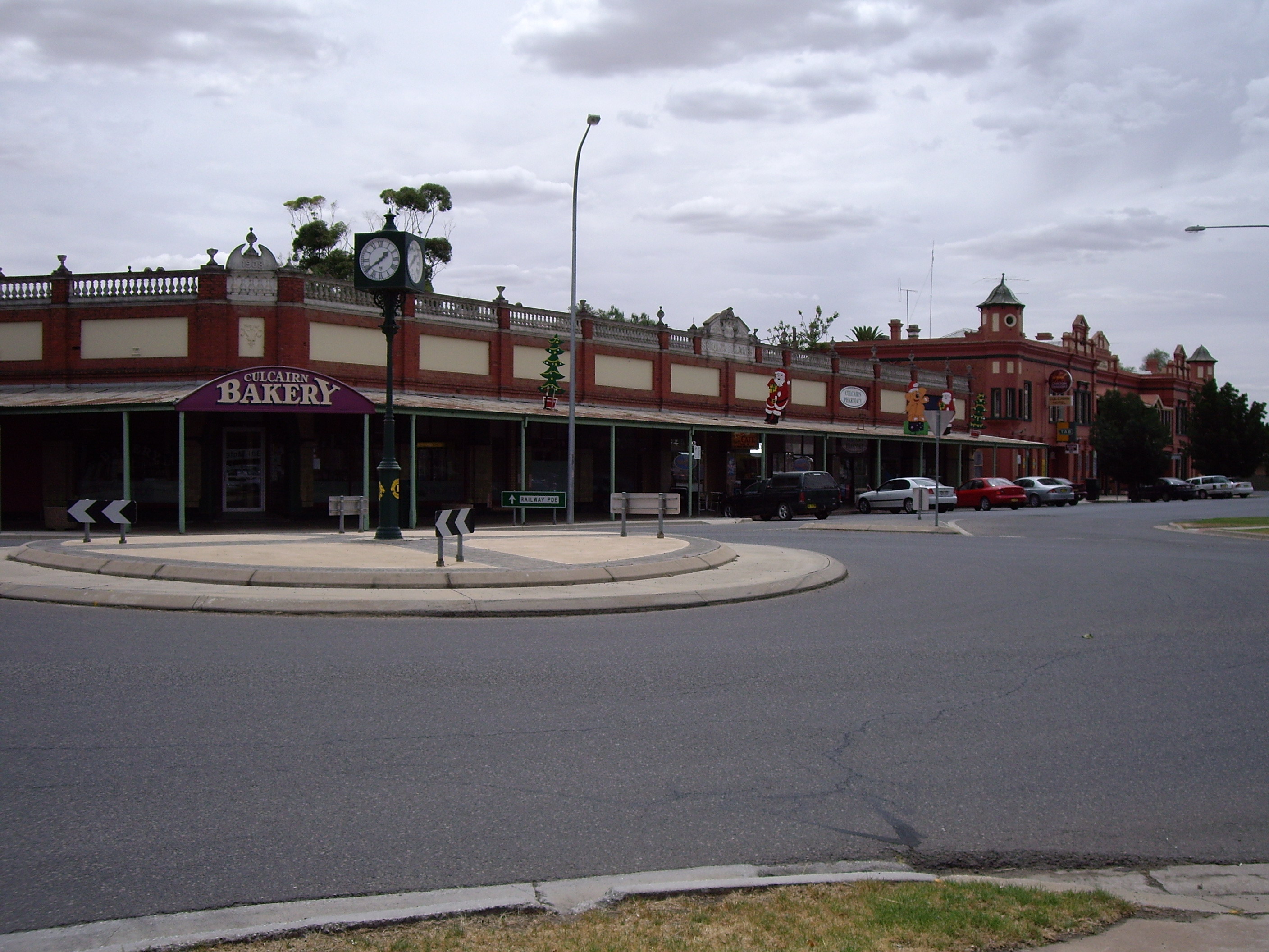
caption = View of Culcairn Township including Culcairn Hotel
lga =Greater Hume Shire Council
postcode = 2660
pop = 1,120
pop_footnotes =
est =
elevation=
maxtemp =
mintemp =
rainfall =
county = Hume
stategov = Albury
fedgov = Farrer
dist1 = 514
location1=Sydney
dist2 = 362
location2=Melbourne
dist3 = 53
location3= Albury
dist4 = 81
location4= Wagga WaggaCulcairn is a town in the south east
Riverina region ofNew South Wales ,Australia . Culcairn is located in theGreater Hume Shire Council Local government area on theOlympic Highway between Albury and Wagga Wagga. The town is located 514 kilometres south west of the state capital,Sydney and at the 2006 census had a population of 1,120.Census 2006 AUS
id=UCL124200
name=Culcairn (Urban Centre/Locality)
accessdate=2007-10-26
quick=on]The town is an important supply centre for nearby towns and villages including, Morven, Gerogery, Henty, Walla Walla and Pleasant Hills.
Billabong Creek runs along the southern edge of town, lending its name to the local high school.History
European settlement of Culcairn began in 1834, following favourable reports on grazing potential and grass cover by the explorers Hume and Hovell when travelling overland to the Port Phillip district in 1824. A number of stations were gazetted and between 1862 and 1865 the district was terrorised by the
bushranger , Dan "Mad Dog" Morgan. The reward for Morgan would reach £1,000. He was ambushed and killed in Victoria after his final holdup in 1865.cite web
url = http://walkabout.com.au/locations/NSWCulcairn.shtml
title = Walkabout Australian Travel Guide - Culcairn
publisher = Fairfax
accessdate = 2007-02-03]The town itself was laid out in 1880 by James Balfour, a local landowner, who named it after a property in the parish of Kiltearn, his mother's birthplace.cite web
url = http://www.humeshire.nsw.gov.au/files/7695/File/5CulcairnBIP7.pdf
title = Greater Hume Shire Council - Local Environmental Plan - Issues and background paper
format = PDF
publisher =Greater Hume Shire Council
accessdate = 2007-02-03] Early industries included chaff mills, a cereal grain company and a quarry. The extension of the Main Southern railway line to Albury to meet thebroad gauge line fromMelbourne saw Culcairn prosper. The Culcairn Hotel, constructed in 1891, was the largest on the line between Melbourne and Sydney.Notable residents
* Triple Olympic equestrian Gold medallist
Andrew Hoy was born and raised in Culcairn. [ [http://www.efanational.com/bio/bioDisplay.asp?PID=2014481&format=popup Equestrian Federation website] . Retrieved2 January 2006 .]Transport
Culcairn sits on the main railway line between
Sydney andMelbourne and is serviced by theCountrylink XPT service which runs twice daily and stops at the local railway station. The station was once the junction for the Corowa and Holbrook branch lines.References
External links
* [http://www.greaterhume.nsw.gov.au/ Greater Hume Shire Council] - Official Website.
* [http://www.fallingrain.com/world/AS/2/Culcairn.html FallingRain Map - elevation = 229m (Red dots are railways)]
Wikimedia Foundation. 2010.