- Otay River
-
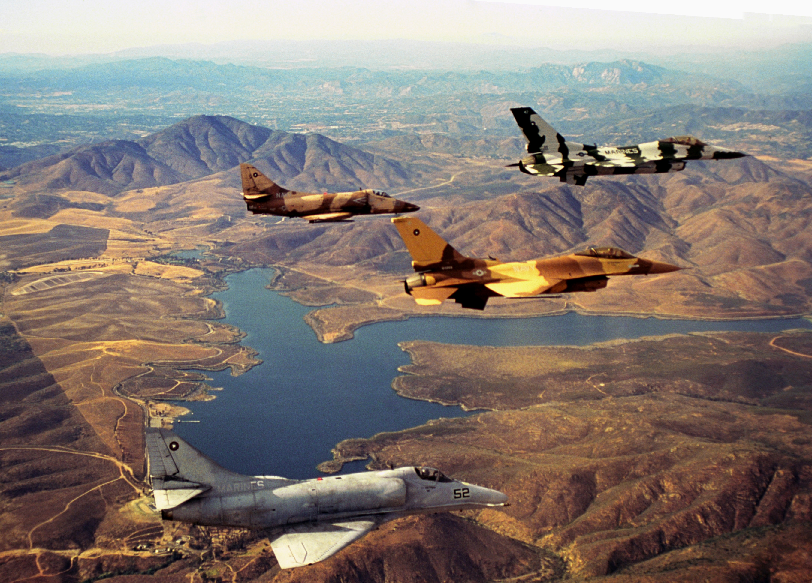
Otay River River  Lower Otay Lake with aircraft from TOPGUN
Country United States State California Region San Diego County Tributaries - left Jamul Creek Source Outlet of Lower Otay Reservoir - location Otay County Open Space Preserve - elevation 392 ft (119 m) - coordinates 32°36′39″N 117°06′59″W / 32.61083°N 117.11639°W Mouth San Diego Bay - location Imperial Beach - elevation 0 ft (0 m) - coordinates 32°36′23″N 116°55′29″W / 32.60639°N 116.92472°W Length 25 mi (40 km) Basin 145 sq mi (376 km2) The Otay River is a river in southern San Diego County, California. The 25 mi (40 km) river begins at San Miguel Mountain, flows through the Upper- and Lower- Otay Reservoirs, and continues on between the southern part of the Chula Vista and the Otay Mesa West district of San Diego, and empties into San Diego Bay. Savage Dam, completed in 1919, forms the 49,510 acre·ft (61,070,000 m3) Lower Otay Reservoir, which is used to supply drinking water to parts of southern San Diego County. The reservoir is also the terminus for Pipeline 3 of the Second San Diego Aqueduct, which delivers water from the Colorado River via the Colorado River Aqueduct.
The Upper Otay Reservoir is formed by Upper Otay Dam, built in 1901. The reservoir was established as a hatchery for the introduction of Florida-strain largemouth bass in 1959. The reservoir was chemically treated first, which killed all of the native fish. In 1996, the reservoir was opened to fishing, but all fish caught must be released. Since the river is used as a municipal water supply, there is no human contact allowed at either reservoir. Early testing of manned gliders by noted aviator John J. Montgomery occurred in the region in the late 19th century.
References
- "Otay Watershed". Project Clean Water. http://www.projectcleanwater.org/html/ws_otay.html. Retrieved 2009-03-22.
- Cohen, Saul Bernard (2000). "Osseo to Palmhurst: Otay River". Columbia Gazetteer of North America. New York: Columbia University Press. ISBN 0231119909. http://www1.bartleby.com/69/50/O03050.html.
- Otay River Watershed Management Plan. San Diego County, Accessed 2011-01-28
Santa Clara River · Los Angeles River · San Gabriel River · Santa Ana River · San Juan Creek · Santa Margarita River · San Luis Rey River · San Dieguito River · San Diego River · Otay River · Sweetwater RiverCategories:- Rivers of San Diego County, California
- San Diego Bay Watershed
Wikimedia Foundation. 2010.