- Molalla River
-
Molalla River  Molalla River
Name origin: After the Molala people Country United States State Oregon County Clackamas Source Table Rock Wilderness Area - location Cascade Range, Clackamas County, Oregon - elevation 3,304 ft (1,007 m) [1] - coordinates 44°54′12″N 122°16′01″W / 44.90333°N 122.26694°W [2] Mouth Willamette River - location Molalla River State Park, Clackamas County, Oregon - elevation 69 ft (21 m) - coordinates 45°17′23″N 122°43′18″W / 45.28972°N 122.72167°W [2] Length 50 mi (80 km) [3][4] Basin 877 sq mi (2,271 km2) [5] 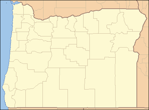
 Location of the Molalla River mouth in Oregon
The Molalla River is a 50-mile (80 km) tributary of the Willamette River in the U.S. state of Oregon.
Contents
Geography
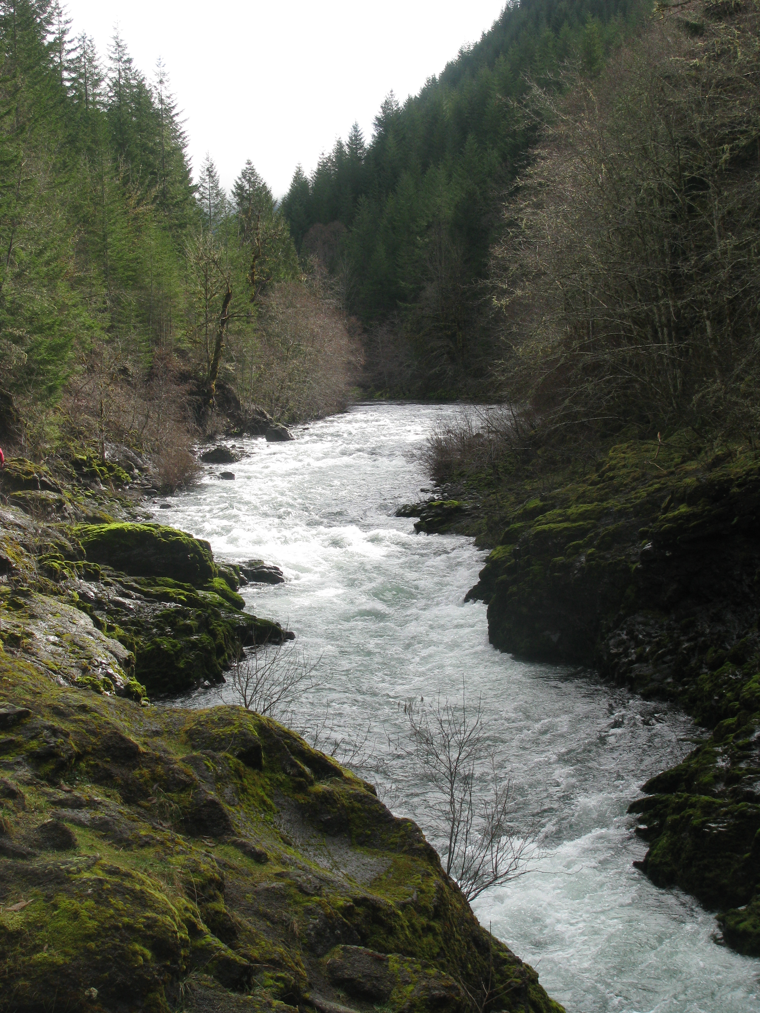
Its headwaters are in Clackamas County, in the Table Rock Wilderness, near Table Rock, in the Cascade Range. After descending from the mountains, it becomes a small meandering river, passing through the fertile agricultural region of the Willamette Valley, and flows past Molalla, Oregon.
It is joined by the Pudding shortly before flowing into the Willamette near the town of Canby. The Molalla River State Park, where the confluence of the Molalla, Pudding, and Willamette form a floodplain, provides one of the most significant habitats for small mammals and waterfowl in the Willamette Valley, including one of the largest blue heron rookeries in the region.
History
During the early 19th century, the area around the river was populated by the Molalla Indians. During that time, an extensive system of trails along the river allowed trade between the peoples of the Willamette Valley and eastern Oregon. As late as the 1920s, the trails were used by Native Americans from the Warm Springs Indian Reservation to reach huckleberry-picking grounds near Table Rock.[6] One of the original routes, called the "Huckleberry Trail", is currently used for recreational hiking and horseback riding.
Starting in the 1840s, the lower Molalla became an area of intense homesteading by European-Americans because of the high fertility of the surrounding land. The upper reaches of the river became an area of widespread logging, as well as gold mining near the head of Ogle Creek.
Fishing
The upper forks of the Molalla provide excellent[citation needed] habitat for small native trout and good spawning beds for Chinook Salmon and Steelhead Trout. In fact the Molalla has long had a reputation for its sizeable native runs of both species.[citation needed] Over the past several decades these runs have seen declines as they have elsewhere in the Northwest however, they are still fairly significant and much of the angling pressure the river receives is in pursuit of these species. There is not a great deal of angling pressure for trout though numbers in the upper river are fairly decent. The best trout fishing in the system is likely along the Table Rock Fork as this stream supports rather high resident trout numbers, though they do not normally run larger than 12 inches at the most. The mouth of the river at Molalla River State Park near Canby is heavily fished during the summer months. Within the first mile or so upstream from the confluence with the Willamette River there are large numbers of Smallmouth Bass with a few as large as 5 lbs. For the next few miles upstream good numbers of Largemouth Bass inhabit the river mostly in pools or slack water. The mouth of the Molalla used to be a good bet to routinely catch 20-40 bass a day. However during the past several years catch rates as well as size have sharply declined, as it seems[who?] as if many anglers are ignoring the five fish per day bag limit.[citation needed]
See also
- List of crossings of the Molalla River
- List of rivers of Oregon
- List of longest streams of Oregon
References
- ^ Derived from Google Earth search using Geographic Names Information Service (GNIS) source coordinates.
- ^ a b "Molalla River". Geographic Names Information System (GNIS). United States Geological Survey. November 28, 1980. http://geonames.usgs.gov/pls/gnispublic/f?p=gnispq:3:::NO::P3_FID:1146388. Retrieved August 9, 2010.
- ^ United States Geological Survey. "United States Geological Survey Topographic Map". TopoQuest. http://www.topoquest.com/map.php?lat=44.91249&lon=-122.32193&datum=nad83&zoom=4&map=auto&coord=d&mode=zoomin&size=m. Retrieved August 9, 2010. The map quadrants—Canby, Yoder, Molalla, Wilhoit, Fernwood, Gawley Creek, and Rooster Rock, Oregon—include river mile (RM) markers from the mouth to RM 46.3 (river kilometer 74.5). The remaining distance is an estimate based on map scale and ruler.
- ^ DeLorme Mapping. Oregon Atlas & Gazetteer (Map) (1991 ed.). Section 55, 60–61. ISBN 0-89933-235-8.
- ^ "The River". Willamette Riverkeeper. http://www.willamette-riverkeeper.org/nww1.htm. Retrieved August 9, 2010.
- ^ "About the Molalla". Molalla River Watch. http://molallariverwatch.org/themolalla.html. Retrieved August 9, 2010.
External links
Categories:- Molalla River
- Tributaries of the Willamette River
- Landforms of Clackamas County, Oregon
- Rivers of Oregon

Wikimedia Foundation. 2010.