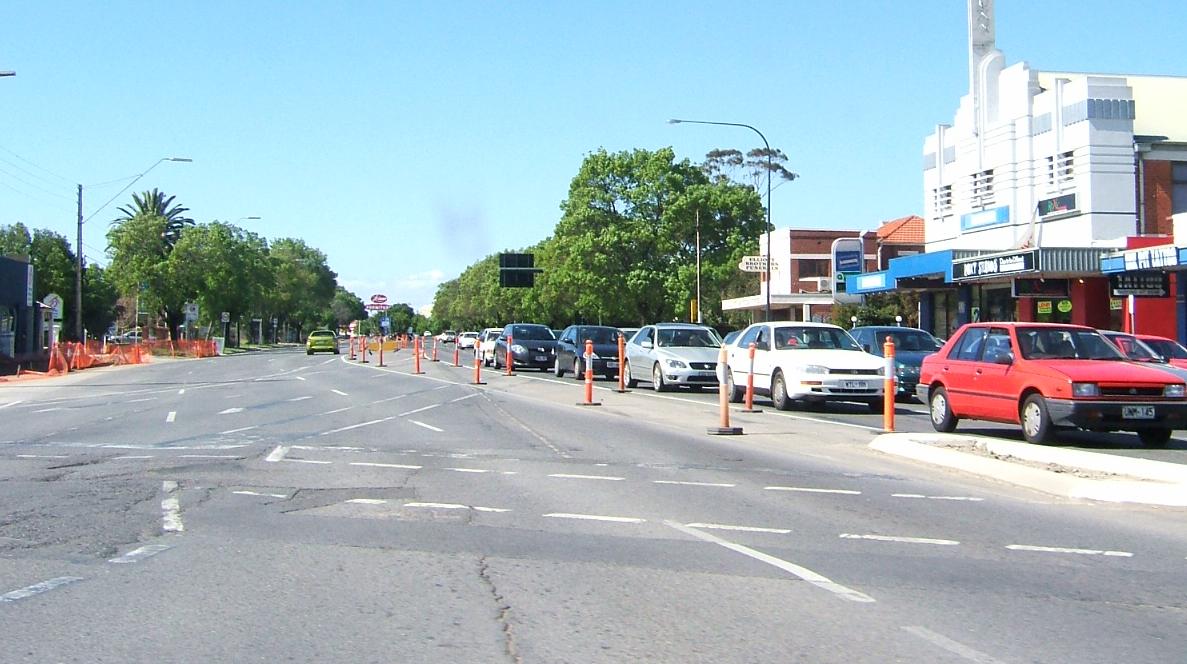
Ashford (South Australia) — Ashford ANZAC Highway Richtung City in Ashford Staat … Deutsch Wikipedia
Marleston, South Australia — Marleston Adelaide, South Australia Looking north along South Road, Marleston is to the west. Postcode … Wikipedia
Glandore, South Australia — Infobox Australian Place | type = suburb name = Glandore city = Adelaide state = sa caption = est = lga = City of Marion lga2 = City of West Torrens postcode = 5037 pop = 2,827 [Census 2006 AUS | id = SSC41596 | name = Glandore (State… … Wikipedia
Plympton, South Australia — Infobox Australian Place| type = suburb name = Plympton state = sa city=Adelaide lga = City of West Torrens postcode = 5038 stategov = Ashford fedgov = Hindmarsh near n= North Plympton near ne= Kurralta Park near e= Kurralta Park, Glandore near s … Wikipedia
Netley, South Australia — Netley Adelaide, South Australia Population: 1,630 (2006)[1] Postcode: 5037 … Wikipedia
Cowandilla, South Australia — Street in Cowandilla Cowandilla is a suburb of Adelaide, South Australia, in the City of West Torrens. It is located a few kilometres west of the CBD, and is adjacent to the Adelaide airport. References Coordinates … Wikipedia
Ashford — is a relatively common English placename: it goes back to Old English æscet , indicating a ford near a clump of ash trees.Ashford is the name of the following places:In Australia: * Ashford, New South Wales * Ashford, South Australia * Electoral… … Wikipedia
Ashford — heißen die Orte in Australien: Ashford (New South Wales) Ashford (South Australia) in England: Ashford (Devon) Ashford (Hampshire) Ashford (Kent) (Ashford (Borough), Verwaltungsbezirk mit dem Status eines Borough in der Grafschaft Kent in… … Deutsch Wikipedia
Mile End South, South Australia — Mile End South Adelaide, South Australia Street in Mile End South Postcode … Wikipedia
North Plympton, South Australia — North Plympton Adelaide, South Australia Postcode: 5037 … Wikipedia