- Sayward, British Columbia
Infobox Settlement
official_name = Village of Sayward
other_name =
native_name =
nickname =
settlement_type = Village
motto =
imagesize =
image_caption =
flag_size =
image_
seal_size =
image_shield =
shield_size =
city_logo =
citylogo_size =
mapsize =
map_caption =
mapsize1 =
map_caption1 =
image_dot_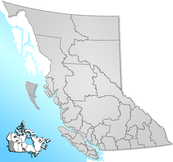
dot_mapsize = 220px
dot_map_caption = Location of Sayward inBritish Columbia
dot_x = 96 |dot_y = 166
pushpin_
pushpin_label_position =
pushpin_map_caption =
pushpin_mapsize =
subdivision_type = Country
subdivision_name = CAN
subdivision_type1 = Province
subdivision_name1 = BC
subdivision_type2 = Region
subdivision_name2 =Vancouver Island
subdivision_type3 = Regional district
subdivision_name3 = Strathcona
subdivision_type4 =
subdivision_name4 =
government_footnotes =
government_type =
leader_title = Governing body
leader_name = Sayward Village Council
leader_title1 = Mayor
leader_name1 = Heather Sprout
leader_title2 =
leader_name2 =
leader_title3 =
leader_name3 =
leader_title4 =
leader_name4 =
established_title =
established_date =
established_title2 = Incorporated
established_date2 = 1968
established_title3 =
established_date3 =
area_magnitude =
unit_pref =
area_footnotes =
area_total_km2 = 4.72
area_land_km2 =
area_water_km2 =
area_total_sq_mi =
area_land_sq_mi =
area_water_sq_mi =
area_water_percent =
area_urban_km2 =
area_urban_sq_mi =
area_metro_km2 =
area_metro_sq_mi =
area_blank1_title =
area_blank1_km2 =
area_blank1_sq_mi =
population_as_of = 2006
population_footnotes =
population_note =
population_total = 341
population_density_km2 =
population_density_sq_mi =
population_metro =
population_density_metro_km2 =
population_density_metro_sq_mi =
population_urban =
population_density_urban_km2 =
population_density_urban_sq_mi =
population_blank1_title =
population_blank1 =
population_density_blank1_km2 =
population_density_blank1_sq_mi =
timezone = PST
utc_offset = -8
timezone_DST =
utc_offset_DST =
latd= 50|latm= 23|lats= 1|latNS=N
longd= 125|longm= 57|longs= 37|longEW=W
elevation_footnotes =
elevation_m = 30
elevation_ft =
postal_code_type =
postal_code =
area_code =
blank_name = Highways
blank_info = 19
blank1_name = Waterways
blank1_info =Johnstone Strait
website =
footnotes = Sayward is avillage located on in theSayward Valley on the northeast coast ofVancouver Island inBritish Columbia ,Canada . It is located about 1 mi (1.6 km) inland from Kelsey Bay on a spur from Highway 19. The village is named afterWilliam Parsons Sayward , a successful lumber merchant from Victoria who was born in Maine in 1818 and came to Victoria from California in 1858. [Citation | last =Akrigg | first = G.P.V. | last2 =Akrigg| first2 =Helen B.
title =1001 British Columbia Place Names | place=Vancouver | publisher =Discovery Press | year =1969
edition = 3rd, 1973] rp|153 The 2006 population of the village was 341, declined from 379 in 2001. [ [http://www12.statcan.ca/english/census06/data/popdwell/Table.cfm?T=302&SR=626&S=1&O=A&RPP=25&PR=59&CMA=0 Statistics Canada, 2006 Census] ]ee also
*
Sayward Valley External links
* [http://www.village.sayward.bc.ca/index.shtml Village of Sayward]
* [http://www.sayward.com Sayward Tourism]References
Wikimedia Foundation. 2010.