- Shepard, Calgary
Infobox Settlement
official_name = Shepard
other_name =
settlement_type = Neighbourhood
imagesize =
image_caption =
city_logo =
citylogo_size =
mapsize =
map_caption =
image_dot_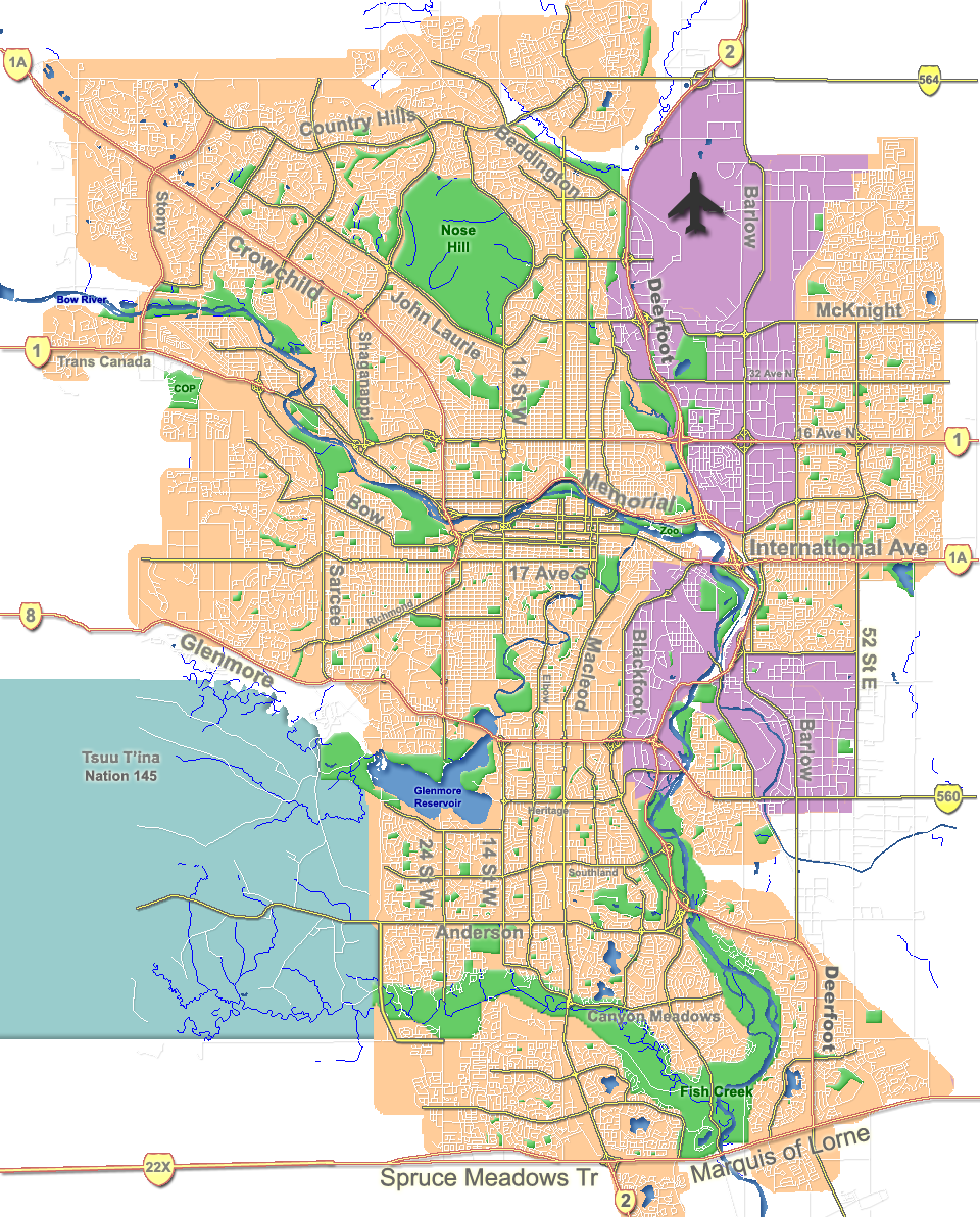
dot_mapsize = 225px
dot_map_caption =
Location of Shepard inCalgary
dot_x = 218|dot_y = 200
subdivision_type = Country
subdivision_name = CAN
subdivision_type1 = Province
subdivision_name1 = AB
subdivision_type2 = City
subdivision_name2 = flag|Calgary
subdivision_type3 = Quadrant
subdivision_name3 = SE
subdivision_type4 = Ward
subdivision_name4 = 12
government_footnotes =
government_type =
leader_title = Administrative body
leader_name =Calgary City Council
leader_title1 = Alderman
leader_name1 = Ric McIver
leader_title2 =
leader_name2 =
established_title =
established_date =
established_title2 = Annexed
established_date2 = 2007
area_magnitude =
area_footnotes =
area_total_km2 =
population_as_of =
population_footnotes =
population_total =
population_density_km2 =
population_blank1_title =
population_blank1 =
timezone =
utc_offset =
latd=
elevation_footnotes =
elevation_m =
postal_code_type =
postal_code =
area_code =
blank_name =
blank_info =
blank1_name =
blank1_info =
website =
footnotes =Shepard is a small residential neighbourhood on the eastern periphery of
Calgary ,Alberta ,Canada . Until 2007 it was an unincorporated hamlet and previously part of the Municipal District of Rocky View. It was annexed by the city of Calgary in July 2007.Prior to its annexation, Shepard was located just outside the eastern boundary of the City of Calgary, several kilometres south of the
Trans-Canada Highway at the intersection of 84th Street and 114th Avenue S.E. Shepard is approximately km to mi|24 east ofCalgary 's city centre. The proposed East Freeway will run to the west of the community.History
A rail station was built at Shepard by the
Canadian Pacific Railway in 1884. The post office opened for four months in 1903 and then reopened from January 1, 1905 until March 8, 1966. It was named after one of the partners of Shepard and Langdon, railway contractors, and remains primarily a residential community with some commercial businesses; it also has its own community hall. It is physically separated from other communities by an industrial area (Shepard Industrial), by undeveloped land and by Race City Speedway.Annexation
In June 2006 the City of Calgary and the M.D. of Rocky View reached an agreement for Calgary to annex a large area of land from the district, including Shepard. [Calgary Country. [http://www.calgarycountry.com/story.php?id=237757 Annexation ] ] [ City of Calgary. [http://content.calgary.ca/CCA/City+Hall/Business+Units/Development+and+Building+Approvals+and+Land+Use+Planning+and+Policy/Land+Use+Planning/Current+Studies+and+Ongoing+Activities/Annexation+Information/Annexation+Information.htm Annexation of Shepard] ]
The annexation became final upon approval by the Alberta government on July 31, 2007. [City of Calgary. [http://www.calgary.ca/portal/server.pt/gateway/PTARGS_0_0_707_203_0_43/http%3B/content.calgary.ca/CCA/City+Hall/Business+Units/Development+and+Building+Approvals+and+Land+Use+Planning+and+Policy/Land+Use+Planning/Current+Studies+and+Ongoing+Activities/Annexation+Information/Annexation+Information.htm Annexation of Shepard] - Provincial Cabinet approval] According to MapArt's "Calgary & Southern Alberta Street Guide 2009 Edition", Shepard's numbered streets, previously labelled 1st Street through 5th Street, have been relabelled 85th-89th Street S.E. to come into line with Calgary's street-numbering system. ["Calgary & Southern Alberta Street Guide 2009 Edition" (MapArt, 2008), p. 185]
In early 2008, the City of Calgary began the process of redesignating and rezoning land within the 2007 annexation areas, including Shepard. The current proposal, dated Feb. 22, 2008, calls for most land in the community to be redesignated "FUD" for "future urban development". [ [http://www.calgary.ca/portal/server.pt/gateway/PTARGS_0_0_780_237_0_43/http%3B/content.calgary.ca/CCA/City+Hall/Business+Units/Development+and+Building+Approvals+and+Land+Use+Planning+and+Policy/Land+Use+Planning/Current+Studies+and+Ongoing+Activities/Annexation+Information/Land+Use+Redesignations/Land+Use+Redesignations+Maps.htm 2008 Land Use Redesignations Maps] , City of Calgary, accessed March 30, 2008; see Area D: Proposed Land Use]
The community is bordered on the west by 84 Street S.E., to the north by a rail line, and to the south by 114th Avenue S.E. (also known as Beulah Vista Road) and the recently-dedicated greenspace,
Ralph Klein Park.ee also
*
List of neighbourhoods in Calgary References
:*Karamitsanis, Aphrodite (1992). "Place Names of Alberta – Volume II, Southern Alberta", University of Calgary Press, Calgary, Alberta. :*Read, Tracey (1983). "Acres and Empires – A History of the Municipal District of Rocky View", Calgary, Alberta.External links
* [http://www.gov.mdrockyview.ab.ca/ Municipal District of Rocky View's official website]
* [http://www.thinkingrockyview.com/ Rocky View Community Profile on Alberta First]
* [http://www.alberta-canada.com/westerntiger/ Calgary-Edmonton Corridor in Alberta]Canadian City Geographic Location (8-way)
Northwest = Foothills Industrial Park
North =

Wikimedia Foundation. 2010.