- Carrathool Shire Council
Infobox Australian Place | type = lga
name = Carrathool Shire
state = nsw
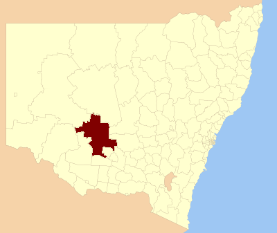
caption = Location in NSW
pop = 3,301Census 2001 AUS|id=LGA11600|name=Carrathool (A) (Local Government Area)|accessdate=2007-06-30|quick=on]
area = 18932.61
area_footnotes = [cite web|title = Carrathool Regional Profile | url = http://www.rrdb.com.au/rivprofile/carrathool.htm | publisher = Riverina Regional Development Board |accessdate = 2008-08-28]
est =
seat = Goolgowi (9 - 11 Cobram Street)cite web
title=Carrathool Shire Council
publisher = Department of Local Government
url = http://www.dlg.nsw.gov.au/dlg/dlghome/dlg_CouncilContactDetails.asp?slacode=1600
accessdate = 2006-11-28 ]
mayor = Peter Laird
region =Riverina
url = http://www.carrathool.local-e.nsw.gov.au
stategov = Murrumbidgee, Murray-Darling
fedgov = Riverina, Calare
near-nw = Central Darling
near-n = Cobar
near-ne = Lachlan
near-w = Balranald
near-e = Bland
near-sw = Hay
near-s = Hay
near-se = GriffithCarrathool Shire is a Local Government Area (LGA) in the Far West of
New South Wales on theMid-Western Highway and north of theSturt Highway .The largest town is Hillston and the council seat is Goolgowi. The Shire also includes the villages of Merriwagga, Rankins Springs, Carrathool.
Where once regular droughts made life almost untenable, the area now has irrigated crops, gardens, greened sporting facilities and village verges. Over 15,000 square kilometres are now used in rural pursuits, including more than 600 km² in wheat, rice, vineyards, cotton, potatoes, vegetables and orchard trees. Most of the change was made possible by the widespread use of river and underground water.
References
Wikimedia Foundation. 2010.