- Primorje-Gorski Kotar County
Croatian County
name =Primorsko-Goranska Županija
image_coat_of_arms =Grb-PGZ.jpg
image_coat_of_arms_size =100px
Coat_of_arms_
image_flag_size =200px
Flag_
capital =Rijeka
area =3.582 km²
population =305.505
date-population =2001
density =85.3 /km²
latd =
latm =
longd =
longm =
code =051
iso =HR-08
zupan =Zlatko Komadina (SDP)
site =http://www.pgz.hr/
notes =Primorje-Gorski kotar county - "Primorsko-goranska županija" is a
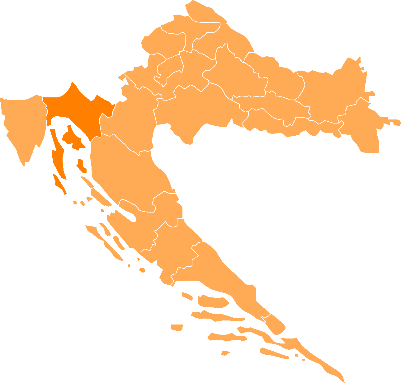
county in westernCroatia that includes theBay of Kvarner and the surrounding Northern Croatian seacoast, and the mountainous region ofGorski kotar . Its center isRijeka .The population of the county in 2005 was 323 214.The county includes the islands of
Krk ,Cres , Lošinj andRab .Population
According to the 2001 census, Primorje-Gorski Kotar County has population of 305,505.
Croats make up an absolute majority with 84.59% of the population. [http://www.dzs.hr/Eng/censuses/Census2001/Popis/E01_02_02/E01_02_02.html]Administrative division
Primorsko-Goranska Zupanija county is divided:
* City ofRijeka
* Town ofBakar
* Town ofCres
* Town ofCrikvenica
* Town ofČabar
* Town ofDelnice
* Town ofKastav
* Town ofKraljevica
* Town ofKrk
* Town ofMali Lošinj
* Town ofNovi Vinodolski
* Town ofOpatija
* Town ofRab
* Town ofVrbovsko
* Municipality ofBaška
* Municipality ofBrod Moravice
* Municipality ofČavle
* Municipality ofDobrinj
* Municipality ofFužine
* Municipality ofJelenje
* Municipality ofKlana
* Municipality ofKostrena
* Municipality of Lokve
* Municipality ofLovran
* Municipality ofMalinska-Dubašnica
* Municipality ofMatulji
* Municipality ofMošćenička Draga
* Municipality ofMrkopalj
* Municipality ofOmišalj
* Municipality ofPunat
* Municipality of Ravna Gora
* Municipality ofSkrad
* Municipality ofVinodolska
* Municipality ofViškovo
* Municipality ofVrbnik
* Island ofIlovik
* Island ofMale Srakane
* Island ofVele Srakane
* Island ofSusak
* Island ofUnije County government
Current Župan (prefect):
Zlatko Komadina (SDP). The county assembly is composed of 42 representatives, organized as follows:
*Social Democratic Party of Croatia (SDP) 9
*Croatian Democratic Union (HDZ) 7
*Alliance of Primorje - Gorski Kotar (PGS) 7
*Croatian People's Party (HNS) 4
*Croatian Peasants Party (HSS) 3
*Croatian Social Liberal Party (HSLS) 3
*Istrian Democratic Assembly (IDS) 2
*Autonomous Regional Party (ARS) 2
*Croatian Party of Pensioners (HSU) 1
*Croatian Christian Democratic Union (HKDU) 1
*Croatian Bloc (HB) 1
*Croatian Demochristians (HD) 1
* independent representative 1External links
* [http://www.pgz.hr/ County web site]
* [http://www.sobol.hr/fotogalerija-gorski-kotar2.htm Gorski Kotar images and informations]
* [http://www.numero-uno.hr Accommodations in Rab and Lopar]
Wikimedia Foundation. 2010.