- City of Whitehorse
-
City of Whitehorse
Victoria
Map of Melbourne showing City of WhitehorsePopulation: 155,725(2009)[1] Established: December 1994 Area: 64 km² (24.7 sq mi) Mayor: Cr Ben Stennett 
LGAs around City of Whitehorse: Manningham Manningham Maroondah Boroondara City of Whitehorse Maroondah Boroondara Monash Knox The City of Whitehorse is a Local Government Area in Victoria, Australia. It is located in the eastern suburbs of Melbourne. It has an area of 64 km2 (25 sq mi) and has a estimated population of 155,725 people.
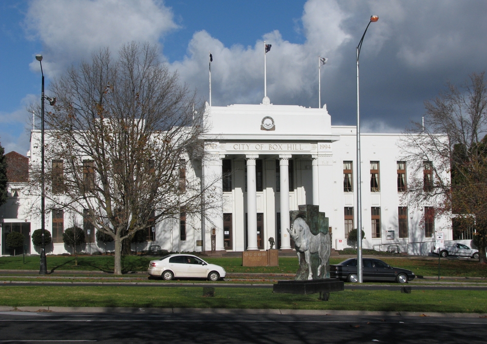
Whitehorse was formed in December 1994 by the amalgamation of the former Cities of Box Hill and Nunawading. The name Whitehorse came from the White Horse Inn, a tavern originally located in the area in the late 19th Century. This name was applied to the major thoroughfare, Whitehorse Road, which runs through the municipality today.
In the original proposals for council amalgamations in Melbourne, Whitehorse was a suggested name for an area comprising the City of Box Hill, with the addition of residents east of Union Road (part of the old City of Camberwell). The affected residents were unhappy, believing an alignment with Box Hill would lower the value of their properties. A second proposal featured the current boundaries of Whitehorse. The City of Nunawading proposed the name "City of Koornung", claiming it was more appropriate as both cities shared the Koonung Creek, but unfortunately they failed to note they had spelled Koonung incorrectly in their proposal. Another suggestion was "City of Deakin", as the region of Whitehorse contains both the Federal electorate of Deakin, and the Melbourne campus of Deakin University in Burwood.
Contents
Suburbs of Whitehorse
- Blackburn
- Blackburn North
- Blackburn South
- Box Hill
- Box Hill North
- Box Hill South
- Burwood (Shared with City of Monash)
- Burwood East
- Forest Hill
- Mitcham
- Mont Albert (Shared with City of Boroondara)
- Mont Albert North
- Nunawading
- Surrey Hills (eastern fringe only)
- Vermont
- Vermont South
Other locally recognised names for regions in the city include:
- Bellbird
- Bennettswood
- Heatherdale
- Houston
- Laburnum
- Kerrimuir
- Tally Ho
- Wattle Park
Former names within the region:
- Air Hill - now Mitcham
- Ballyshannassy - small township located in present Burwood, 1860s
- Beverley Hills - attached to Blackburn North, late 1960s-early 1970s
- Emery's Hill - now Mitcham
- L.L. Vale - name for Vermont used up until c.1885
- Norwood - second name of Ballyshannassy, renamed Burwood in 1879
- Mount Pleasant - 1860s name, now eastern area of Forest Hill
- Scotchman's Hill - 1860s name, now Forest Hill
- Tally Ho - incorporated into Burwood East during the 1960s
- Tunstall - renamed Nunawading in 1945 The city was named after a white horse that was shot in the head by aboriginals
Major Thoroughfares
- Blackburn Road

- Boronia Road

- Burwood Highway

- Canterbury Road

- Elgar Road
- Eastern Freeway

- Highbury Road
- Maroondah Highway (Whitehorse Road)

- Middleborough Road

- Mitcham Road
- Riversdale Road

- Springvale Road

- Station Street

- Surrey Road
- Warrigal Road

Sister city
On 12 May 1971, The City of Box Hill established a sister city relationship with Matsudo, in Chiba, Japan. In December 1994, when Box Hill amalgamated with Nunawading, the City of Whitehorse re-affirmed its relationship with Matsudo.
See also
References
- ^ Australian Bureau of Statistics (30 March 2010). "Regional Population Growth, Australia, 2008–09". http://www.abs.gov.au/ausstats/abs@.nsf/Latestproducts/3218.0Main%20Features52008-09?opendocument&tabname=Summary&prodno=3218.0&issue=2008-09&num=&view=. Retrieved 4 June 2010.
External links
- Official website
- Australian Places: A Gazetteer of Australian Cities, Towns and Suburbs
- Metlink local public transport map
- Link to Land Victoria interactive maps
Suburbs of the City of Whitehorse | Melbourne | Victoria Local Government Areas of Victoria Greater Melbourne Inner MelbourneMetropolitanBanyule · Bayside · Boroondara · Darebin · Glen Eira · Hobsons Bay · Kingston · Maribyrnong · Maroondah · Monash · Moonee Valley · Moreland · WhitehorseOuter MetropolitanBrimbank · Cardinia · Casey · Frankston · Greater Dandenong · Hume · Knox · Manningham · Melton · Mornington Peninsula · Nillumbik · Whittlesea · Wyndham · Yarra RangesSouthwest Central Highlands and Goldfields Goulburn Valley Northeast Gippsland Western District Wimmera The Mallee Categories:- Local Government Areas in Melbourne
- Local Government Areas of Victoria (Australia)

Wikimedia Foundation. 2010.