- Mixco Viejo
-
 Ruins at Mixco Viejo. Photo by Fernando Reyes.
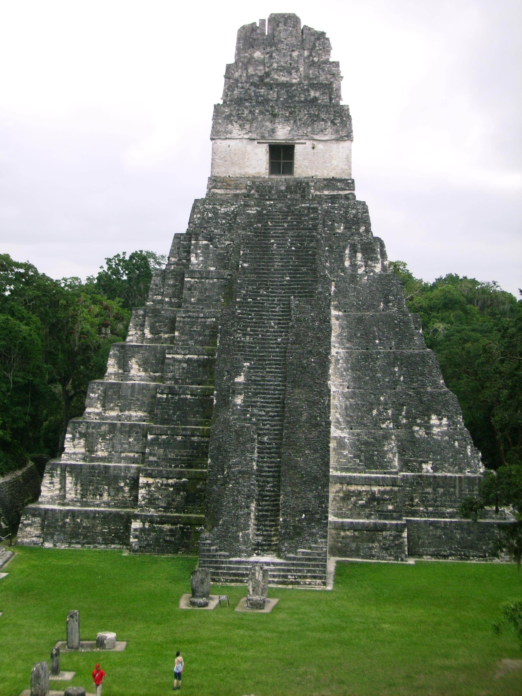
 View of Mixco Viejo.
Mixco Viejo is an archaeological site in the north east of the Chimaltenango department of Guatemala, some 50 km to the north of Guatemala City and 4km from the junction of the rivers Pixcaya and Motagua. It is a moderate sized ruined city of the Post-Classic Era Maya civilization.
There is considerable confusion as to whether the site currently known as Mixco Viejo is the same as the Mixco Viejo described in Colonial documents.[1]
Contents
Mixco Viejo in history
Mixco was the capital of the Pocomam Maya kingdom, and was sometimes known as Pocomam and Saqik'ajol Nimakaqapek in addition to Mixco. The site was founded on a defensive location mountain top in the 12th century. The peak population in the early 16th century may have been around 10,000 people. It was conquered by Spanish Conquistador Pedro de Alvarado in 1525 after a siege of more than 3 months. The Conquistadors then had the city burnt and depopulated.
The historical Mixco Viejo has been identified as Chinautla Viejo (Old Chinautla), near the modern town of Mixco.[2]
Archaeological site
Although the site now known as Mixco Viejo was traditionally considered the Pocomam capital, recent investigations have instead identified the ruins as the capital of the Kaqchikel-speaking Chajoma Maya, and have suggested that its identification as the historical Mixco Viejo is the result of confusion in the interpretation of colonial records.[3]
The ruins consist of 15 groups containing the remains of over 120 major structures, including temples, palaces, and courts for playing the Mesoamerican ballgame.[4]
Archeological excavations were carried out from 1954 through 1967 by the Musée de l'Homme of Paris under the direction of archaeologist Henri Lehmann, who certainly believed that he was excavating the Pocomam capital as described in Colonial records.[5]
The site is open to the public and has a small museum.
Notes
References
- Carmack, Robert M. (2001). "La Verdadera Identificación de Mixco Viejo". Kik'aslemaal le K'iche'aab': Historia Social de los K'iche's. Guatemala: Iximulew. pp. 143–176. ISBN 99922-56-19-2. OCLC 47220876. (Spanish)
- Hill, Robert M. II (June 1998). "Los Otros Kaqchikeles: Los Chajomá Vinak". Mesoamérica (Antigua Guatemala: El Centro de Investigaciones Regionales de Mesoamérica (CIRMA) in conjunction with Plumsock Mesoamerican Studies, South Woodstock, VT) 35: pp.229–254. ISSN 0252-9963. OCLC 7141215. (Spanish)
- Lehmann, Henri. Guide to the Ruins of Mixco Viejo. Andrew McIntyre and Edwin Kuh. Guatemala: Piedra Santa.
- Love, Michael (December 2007). "Recent Research in the Southern Highlands and Pacific Coast of Mesoamerica". Journal of Archaeological Research (Springer Netherlands) 15 (4): 275–328. doi:10.1007/s10814-007-9014-y. ISSN 1573-7756.
- Sharer, Robert J.; with Loa P. Traxler (2006). The Ancient Maya (6th (fully revised) ed.). Stanford, CA: Stanford University Press. ISBN 0-8047-4817-9. OCLC 57577446.
External links
Coordinates: 14°52′18″N 90°39′51″W / 14.87167°N 90.66417°W
Categories:- Maya sites
- Mesoamerican pyramids
- Maya sites in Guatemala
- Populated places established in the 12th century
- Former populated places in Guatemala
- Archaeological sites in Guatemala
- Chimaltenango Department


Wikimedia Foundation. 2010.