- Seram
Infobox Islands
name = Seram Island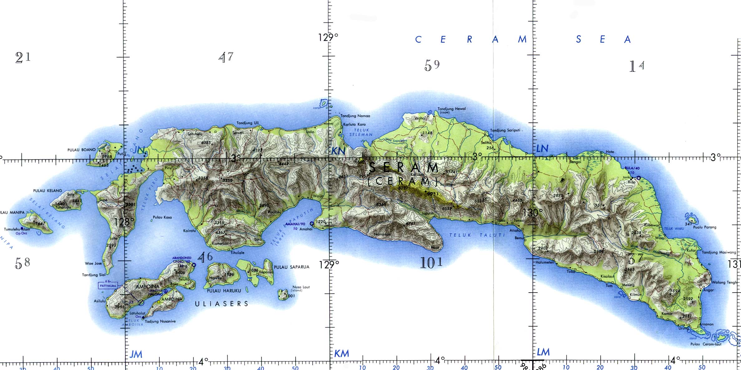
image caption =
locator
native name =
native name link =
location =South East Asia
coordinates=
archipelago =Molucca Islands
total islands =
major islands =
area = 17,100 km² (6,600 mi²)
rank = 52nd
highest mount = Binaiya
elevation = 3,019 m (9,905 ft)
country = Indonesia
country admin divisions title =
country admin divisions =
country largest city =
country largest city population =
country 1 =
country 1 admin divisions title =
country 1 admin divisions =
country 1 largest city =
country 1 largest city population =
country 2 =
country 2 admin divisions title =
country 2 admin divisions =
country 2 largest city =
country 2 largest city population =
population =
population as of =
density =
ethnic groups =Seram (formerly Ceram, also called Seran or Serang) is an
island in theMaluku province ofIndonesia . It is located north ofAmbon Island . The chief port/town isMasohi .Geography
Seram is traversed by a central
mountain range , the highest point of which is covered with denserain forest s.Copra ,resin ,sago , andfish are important products.Oil is exploited in the northeast near Bula by KUFPEC (Indonesia) Limited.History
In the fifteenth and sixteenth centuries, Seram was generally within the sphere of influence of
Ternate , although it was often ruled more directly by the Ternaten vassal state ofBuru . Portuguesemissionaries were active there in the 16th century. Dutchtrading post s were opened in the early 17th century, and the island came under nominal Dutch control c. 1650. In the 1780s, Seram provided a key base of support for PrinceNuku ofTidore 's long-running rebellion against Dutch rule.Religion
Traditionally, most of the people here have been either of the
Animist ,Muslim orChristian faith. Violent inter-religious conflict swept the Maluku province and other parts of Indonesia starting in late 1998, resulting in tens of thousands of displaced persons inAmbon and surrounding islands such as Seram. [http://www.hrw.org/reports/1999/ambon/amron-01.htm]See also
*
Islands of Indonesia
*Wemale
*Alune External links
* [http://www.seacology.org/projects/individualprojects/INDON_seram2004.htm Seacology Seram Island Health Clinic Project]
Seacology
Wikimedia Foundation. 2010.