- Wadenoijen
Dutch town locator maps
mun_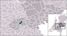
town_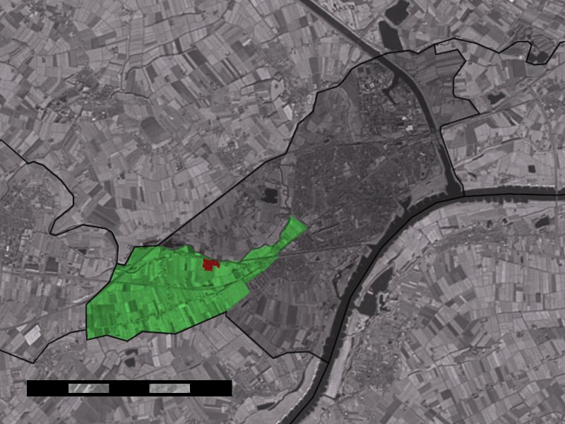
caption = The village centre (red) and the statistical district (light green) of Wadenoijen in the municipality of Tiel.Wadenoijen (coord|51|52|N|5|22|E|type:city(411)) is a village in the Dutch province of
Gelderland . It is a part of the municipality ofTiel , and lies about 4 km west of Tiel.In 2001, the village of Wadenoijen had 411 inhabitants. The built-up area of the village was 0.078 km², and contained 163 residences.Statistics Netherlands (CBS), [http://www.cbs.nl/nl-NL/menu/themas/milieu-natuur-ruimte/ruimte/publicaties/cartografie-geografie/geografische-data/2001-bevolkingskernen-in-nederland.htm "Bevolkingskernen in Nederland 2001"] . (Statistics are for the continuous built-up area).] The statistical area "Wadenoijen", which also can include the peripheral parts of the village, as well as the surrounding countryside, has a population of around 1150.Statistics Netherlands (CBS), [http://statline.cbs.nl/ "Statline: Kerncijfers wijken en buurten 2003-2005"] . As of
January 1 ,2005 .]Standing at the edge of the village, near the
Linge river, is the village church, a building with a Romanesque tower and nave and a Gothic choir.Wadenoijen was a separate municipality between 1818 and 1956, when the area was divided between the municiplaities of
Tiel andZoelen . [Ad van der Meer and Onno Boonstra, "Repertorium van Nederlandse gemeenten", KNAW, 2006. [http://www.knaw.nl/cfdata/publicaties/detail.cfm?boeken__ordernr=20061061] ]References
External links
* [http://www.kuijsten.de/atlas/ge/wadenoijen.html Map of the former municipality in 1868]
Wikimedia Foundation. 2010.