- Massachusetts Route 114
-
Route 114
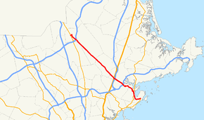
Route information Length: 22.42 mi[1] (36.08 km) Existed: by 1930 – present Major junctions West end:  Route 28 in Lawrence
 I-495 in Lawrence
 I-95 in Middleton
 Route 128 in Peabody
East end:  Route 129 in Marblehead
Highway system Massachusetts State Highway Routes
←  Route 113
Route 114A  →
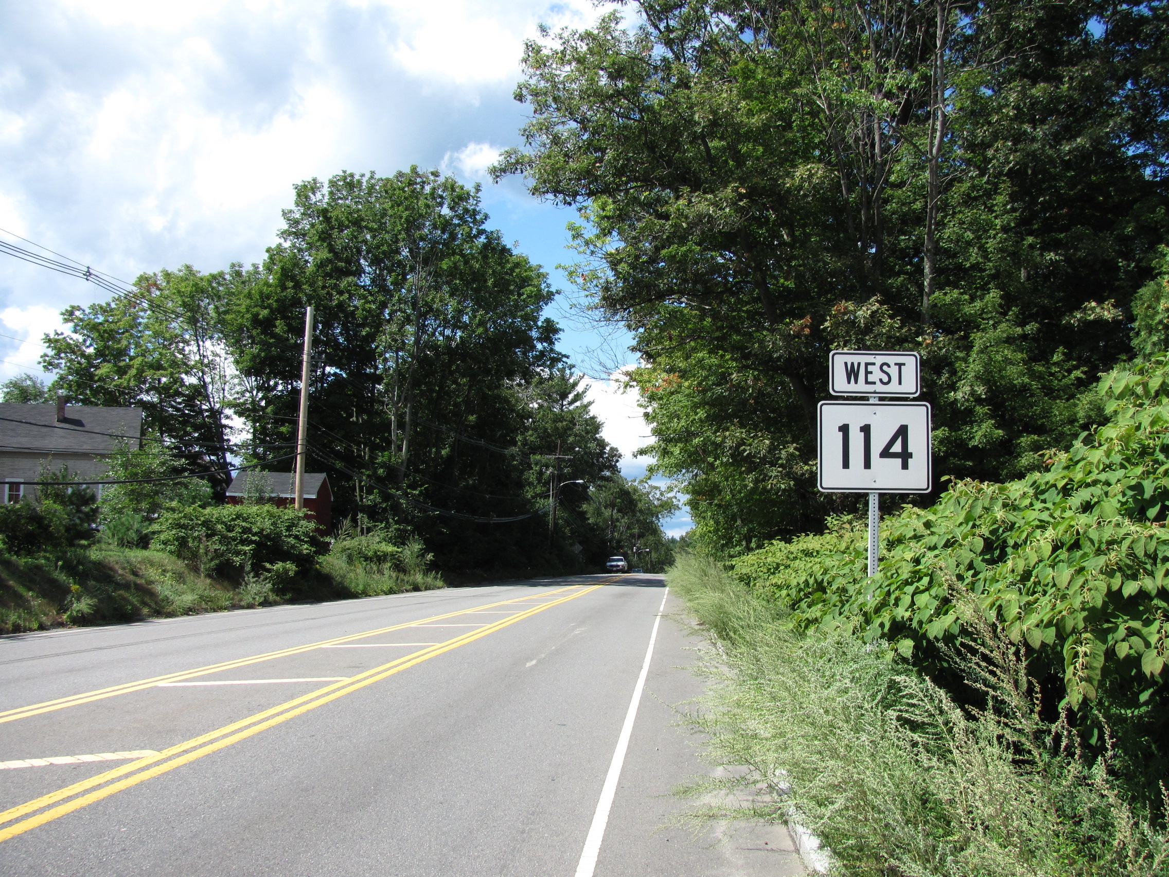
→Route 114 is a Massachusetts state route that essentially is a northwest-southeast route, but is technically considered to go east–west. It runs from Route 28 in Lawrence to Route 129 in Marblehead, Massachusetts, which also terminates there.
Route 114 is not related to Route 114A in Seekonk, which is actually related to Rhode Island Route 114 and is located about 50 miles (80 km) away from Massachusetts Route 114.
Contents
Route description
Route 114 begins in Lawrence at Route 28, at the southern end of the O'Leary Bridge. It heads eastward along Merrimack Street before turning southward onto Parker Street, passing Lawrence Station as it does. It then bends southeastward at Andover Street,intersecting I-495 at Exit 42. It then crosses the Shawsheen River into North Andover, becoming the Salem Turnpike. In North Andover, Route 114 crosses Route 133 before beginning a concurrency with Route 125 which lasts for over half a mile, passing Merrimack College in the process. It then continues through the town into Middleton, where it has a short wrong-way concurrency with Route 62 in the center of town.
From Middleton, Route 114 heads into Danvers. In Danvers, Route 114 has interchanges with U.S. Route 1 and I-95 in quick succession before entering into Peabody. In Peabody, Route 114 passes the Northshore Mall just before meeting Route 128 at Exit 25. It continues through the northeastern part of town, meeting the southern end of Route 35 before passing into Salem.
In Salem, Route 114 crosses over Route 107 adjacent to the Salem Station. It then continues along North Street, which turns into Summer Street before the route turns eastward onto Norman Street. It then turns south onto Lafayette Street, becoming concurrent with Route 1A southward, until the two split in front of Salem State University, with Route 114 continuing southward, crossing the Forest River into Marblehead. The route finally ends at the intersection of Ocean Avenue and Atlantic Avenue, where it meets the eastern end of Route 129.
History
Route 114 was originally the Essex Turnpike.
For about its first three decades as 114, Route 114 originally went only as far as Salem. The route was extended to Marblehead in the late 1950s.
Between 1997 and 2002, Route 114 was extended through what had been Route 129's end in prior and subsequent years when Route 129 was extended to end at nearby local roads. After 2002, the roads reverted to their prior forms.
Junction list


Westbound in Middleton County Location Mile Roads intersected Notes Essex Lawrence 0.00 Route 28Western end of Route 114. 1.7 I-495I-495 Exits 42 A-B North Andover 2.8  Route 133
2.9  Route 125 North
Beginning of concurrency with Route 125. 3.5 Route 125 SouthEnd of concurrency with Route 125. Middleton 10.7  Route 62 East
Beginning of wrong-way concurrency with Route 62. 10.9 Route 62 WestEnd of wrong-way concurrency with Route 62. Danvers 13.8  U.S. Route 1
Cloverleaf interchange with Route 1. 14.0 I-95I-95 Exit 47 A-B ; no direct access between I-95 South and Rte. 114.
Access from I-95 South via Rte. 1.Peabody 16.3 Route 128Route 128 Exits 25 A-B. 17.5  Route 35 North
Southern end of Massachusetts Route 35. Salem 18.9  Route 107
Ramp access between the two routes. 19.4  Route 1A North
Beginning of concurrency with Route 1A. 20.4 Route 1A SouthEnd of concurrency with Route 1A. Marblehead 22.42 Route 129 WestEastern end of Routes 114 and 129. References
- Kelley, Neil. "MA 114" (route log entry). Massachusetts Route Log. neilbert.com. http://www.neilbert.com/findroute.php?route=114. Retrieved 2006-07-01.
- Moraseski, Dan. "MA routes 110-119". MA route log. web.mit.edu. Archived from the original on 2004-10-25. http://web.archive.org/web/20041025163102/http://web.mit.edu/spui/www/boston/sr/11x.html#114. Retrieved 2006-07-01. (Wayback Machine archive, original site down)
Categories:- Numbered routes in Massachusetts


Wikimedia Foundation. 2010.