- Fort William Historical Park
-
Fort William Historical Park 
Established 1973 Location Thunder Bay, Ontario, Canada. Type Historical Park Website www.fwhp.ca National Historic Site of CanadaOfficial name: Fort William Designated: 1923  A view of the fort from the lookout post
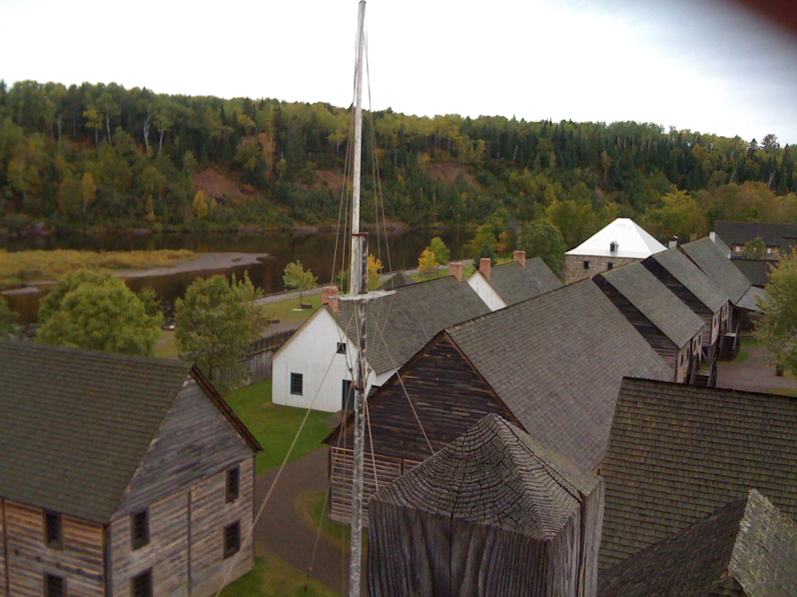
 A typical room at Fort William Historical Park
 A star-shaped door handle.
 One of the cannons near the main entrance to the park. The inscription reads I. & P. VERBRUGGEN.
Fort William Historical Park (formerly known as Old Fort William) is a Canadian historical site located in Thunder Bay, Ontario, that contains a reconstruction of the Fort William fur trade post as it existed in 1815. It officially opened on July 3, 1973. It was designated a National Historic Site of Canada in 1923.[1]
Contents
History
The North West Company had a major trading post called Fort Charlotte located at Grand Portage, Minnesota. After the rebel colonists' victory in the American Revolutionary War, Britain finally ceded the area to the United States (US) under the Jay Treaty of 1796, to settle the northern border. British/Canadian fur traders wanted to create a new center of operations to avoid US taxes. They moved the trading post north to what became Fort William on the Canadian side of the border.[2]
Fort William Historical Park is known as a living history site. Numerous historic buildings have been reconstructed to show the range of the post, and costumed historical interpreters recreate Fort William of the year 1815. Fort William was then not primarily a settlement, but a central transport depot within the now-defunct North West Company's network of fur trade outposts. Due to its central role, Fort William was much larger, with more facilities than the average fur trade post. Reflecting this, Fort William Historical Park contains 42 reconstructed buildings, a reconstructed Ojibwa village, and a small farm.
Historical interpreters represent the many roles and cultures involved in the fur trade, including Scottish fur traders (people of capital), who often took Native American wives and had their families living with them; French Canadian voyageurs and workers, who also had wives from among the Natives; and native hunters and trappers. The native people in the Fort William area are predominantly Ojibwa and are represented accordingly among the interpreters.
The North West Company's "winter partners", fur traders who lived at the post, in the early years married into the upper classes of the native people, strengthening their alliances. There were thus two tiers of society - the fur traders and chiefs and their daughters, and the workers, who formed liaisons or married native women. The descendants of the latter tended to stay in fur trapping and became the Métis ethnic group. While also of mixed heritage, children of fur traders and chief's daughters tended to receive thorough English educations (as well as learning Native culture from their mothers' families) and often moved within the upper classes of Canadian society, including being selected for government posts.
Fort William Historical Park has a working community of skilled tradesmen, including a blacksmith, tinsmith, carpenter, cooper, and birch bark canoe builder. They all craft products according to traditional early 19th-century methods and tools. Many of their crafts are not widely practised elsewhere. Fort William's canoe builder has built birch bark canoes for other Canadian cultural sites, including the Canadian Museum of Civilization.
Each summer Fort William Historical Park hosts the "Great Rendezvous", a recreation of the annual meeting of company fur traders that took place at this central location. Participants from all over Canada and the United States register to camp for the weekend at Fort William Historical Park and take part in this historical reenactment.
Fort William Historical Park is located on the banks of the Kaministiquia River at Point de Meuron. This point is a few kilometres upstream from the original fort's site, Fort Kaministiquia, which has been built over as part of the city of Thunder Bay. It also has separate historical significance, as Point de Meuron was named after the mercenary De Meuron soldiers who used the point as a base camp when attacking Fort William in 1816 as directed by the North West Company's rival, the Hudson's Bay Company.
Fort William Historical Park is a historical site operated by the Ontario provincial government. It has been noted as one of Canada's top ten tourist attractions[citation needed] and as one of Canada's top living history sites.[citation needed]
Location
The park is located at the South end of King Road, which runs off of Broadway Avenue two kilometres west of Highway 61.
Amphitheatre
In 2008 the Fort built an amphitheatre to host a variety of events. It is one Canada's largest purpose-built outdoor entertainment venues.[citation needed] The Amphitheatre is designed to host events with audience sizes up to 50,000. It is configured to be capable of hosting multiple independent events at the same time. The Amphitheatre is a year-round venue, capable of featuring six regulation-size hockey ice surfaces in the winter, and a full-service campground during special events and concerts in the summer.
Affiliations
The Museum is affiliated with: CMA, CHIN, and Virtual Museum of Canada.
References
- ^ Fort William, Directory of Designations of National Historic Significance of Canada
- ^ Joseph M. Mauro, A Golden Gateway of the Great Northwest - History of Thunder Bay, Thunder Bay, Ontario: Lehto Printers Ltd., 1981, pp. 21-23
- Morrison, Jean F. Superior rendez-vous place : Fort William in the Canadian fur trade. Toronto : Natural Heritage Books, 2007. 1st ed. appeared in 2001. The most authoritative book on Fort William
- Old Fort William Historical Park brochure, Parks Canada, 2001.
External links
 History of Canada
Timeline - 18000 BCE–1500 CE
- 1534–1763
- 1763–1866
- 1867–1914
- 1914–1945
- 1945–1960
- 1960–1981
- 1982–1992
- 1992–present
Topics - Bibliography
- Constitutional
- Crown & Aboriginals
- Cultural
- Economic
- Etymology
- Events of significance
- Former colonies & territories
- Historic Sites
Immigration - Military - (Conflicts)
- Monarchical
- People of Canada - (Persons of significance)
- Population by year
- Territorial evolution
Provinces &
territoriesCities - Name etymologies
- Brampton
- Charlottetown
- Fredericton
- Halifax RM
- Hamilton
- Lethbridge
- Moncton
- Montreal
- Northwest Territories capital cities
- Ottawa
- Quebec City
- Regina
- Saskatoon
- Toronto
- Vancouver
- Winnipeg
National Historic Sites of Canada by locationProvinces Territories Northwest Territories · Nunavut · YukonOther countries FranceCoordinates: 48°20′34″N 89°21′30″W / 48.34278°N 89.35833°W
Categories:- Hudson's Bay Company forts
- Living museums in Canada
- Museums in Thunder Bay
- National Historic Sites in Ontario
- North West Company
- Forts in Ontario
- Music venues in Ontario


Wikimedia Foundation. 2010.