- Mairiporã
-
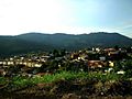
Mairiporã City center view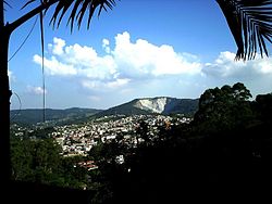

Flag
Coat of armsNickname(s): "Aldeia Pitoresca" Location of Mairiporã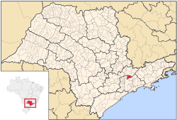
Coordinates: 23°19′8″S 46°35′13″W / 23.31889°S 46.58694°W Country  Brazil
Region Southeast State  São Paulo
Government – Mayor Antônio Aiacyda Area – Total 321.480 km2 (124.1 sq mi) Population (2007)[1] – Total 71,754 – Density 223.19/km2 (578.1/sq mi) Time zone UTC-3 (UTC-3) – Summer (DST) UTC-2 (UTC-2) HDI (2000) 0,803 – medium Website Mairiporã Coordinates: 23°19′8″S 46°35′13″W / 23.31889°S 46.58694°W Mairiporã is a Brazilian municipality in São Paulo state. It is part of the São Paulo metropolitan area. The population in 2009 was estimated in 79,155 inhabitants and the total area is 321,5 km², resulting in a Population density of 233.4 people per km2.
Contents
Name Meaning
Tupi: mairy'poranga
mairy: village, city + poranga: beautiful. Beautiful city
History
It became a municipality in 1889, separating from Guarulhos, it was named "Juqueri", and it comprised also what today are the cities of Franco da Rocha, Caieiras and Francisco Morato. The current name was adopted in December 1948.
Geography
Mairiporã is situated at an average altitude of 790m. The highest points of Mairiporã are in Serra da Cantareira, where it reaches an altitude of over 1100m in some areas.
Climate: Like in all of the São Paulo metropolitan area, the climate is subtropical. Summer is considerably warm and rainy while the winter is mild. The average annual temperature is about 18°C. The coldest month is July with an average 14°C and the warmest February with an average 22°C. The annual pluviometric index is about 1400mm.
Demographics - Data from 2000 Census
Total population - 60.111
    Urban Population - 48,077
    Rural Population - 12,034
    Men - 30,214
    Women - 29.897
Population density: 186.97 people per km2
Infant mortality: 18.60 per thousand
Life expectancy: 69.82 years
Total fertility rate: 2.22 per woman
Literacy rate: 90.7%
Human Development Index: 0.803
    Standard of living: 0.784
    Life Expectancy: 0.747
    Education: 0.877
(Source: IPEADATA)
Roads
BR-381 Rodovia Fernão Dias.
Road connecting São Paulo Capital City to Belo Horizonte in the state of Minas Gerais. BR-381 crosses Mairiporã from south to north, from Parque suíço in the south to Terra Preta in the north.
SP-023 Rodovia Prefeito Luiz Salomão Chamma.
Connects SP-332 Rodovia Tancredo de Almeida Neves in Franco da Rocha to BR-381 Rodovia Fernão Dias.
Tourism
Mairiporã is a city in Serra da Cantareira north of São Paulo City. It is in a great location for tourists who are searching for connection with nature and tranquility yet close to the capital. The city is rich in many radical sports, like Paraglider in Pico do Olho D'água, Downhill in Trilha da Saracura, the Trilha dos Macacos with waterfalls among others.
Gallery
-
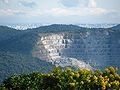
São Paulo view from Pico do olho d'água, highest place in the city
-
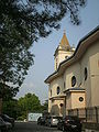
View of Nossa Senhora do Desterro Church
-
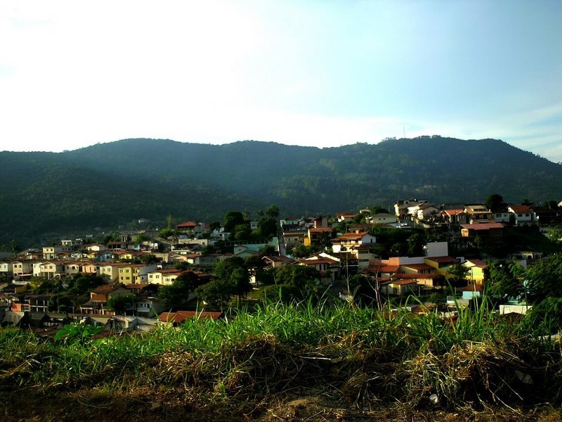
Neighborhood in Mairiporã city center
-
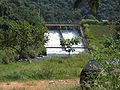
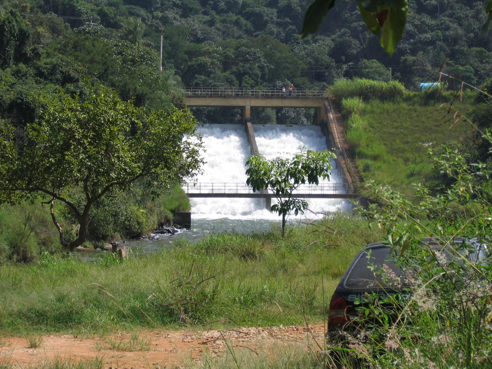
Sete Quedas(Seven Falls) Dam and waterfall
-
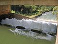
Sete Quedas(Seven Falls) Dam and waterfall
-

-

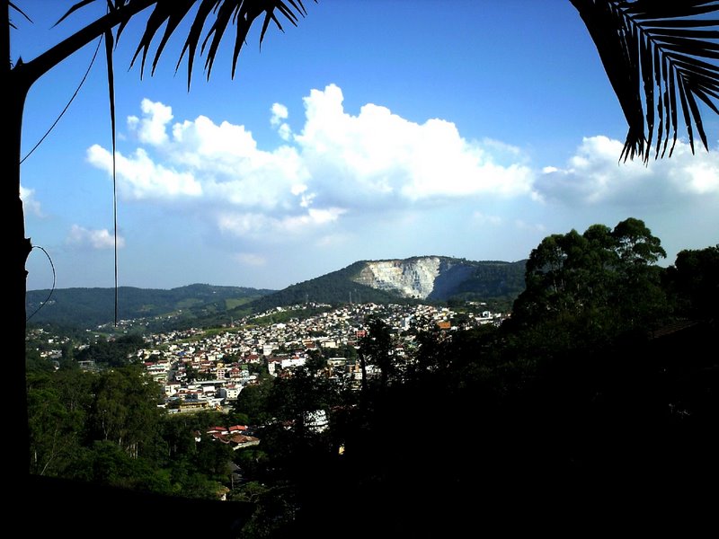
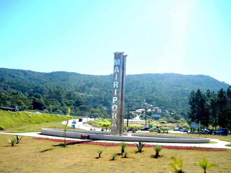
Mairiporã city entrance
References
Categories:- Populated places in São Paulo (state)
-


Wikimedia Foundation. 2010.