- New York State Route 340
-
NYS Route 340

Map of southeastern Rockland County and vicinity with NY 340 highlighted in redRoute information Maintained by NYSDOT, the town of Orangetown and the village of Piermont Length: 3.17 mi[3] (5.10 km) Existed: ca. 1932[1][2] – present Major junctions South end:  CR 501 at Orangetown
 US 9W in Piermont
North end: South Greenbush Road in Orangetown Location Counties: Rockland Highway system Numbered highways in New York
Interstate • U.S. • N.Y. (former) • Reference • County←  NY 339
NY 341  →
→New York State Route 340 (NY 340) is a 3.17-mile (5.10 km) state highway in southeastern Rockland County, New York, in the United States. Though it is signed as an east–west route, it actually follows a north–south alignment. The southern terminus of the route is at the New Jersey state line in Palisades, where it becomes County Route 501 (CR 501). As signed, the northern terminus is at an intersection with NY 303 in Orangeburg; however, according to the New York State Department of Transportation (NYSDOT), the route continues for another 0.07 miles (0.11 km) to the northwest of NY 303. NY 340 was assigned to part of its modern routing in the early 1930s and extended to its current length in the early 1940s.
Contents
Route description
 As signed, NY 340 begins here at NY 303 in Orangeburg.
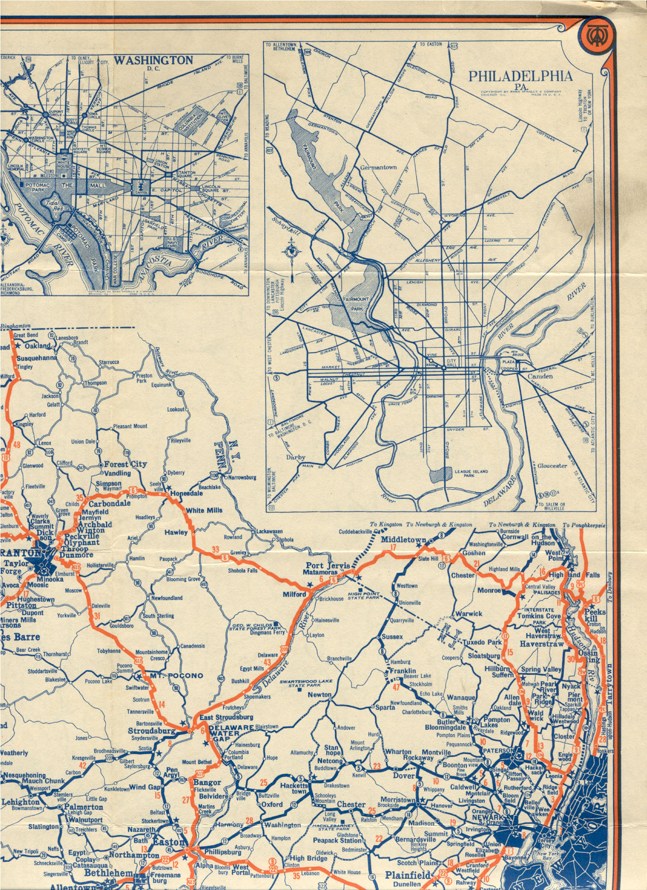
NY 340 begins at the New Jersey – New York border in Palisades. Directly south of the border is Rockleigh, New Jersey, in which the route continues as that state's CR 501. The route heads northward through the town of Orangetown, serving a residential community before entering a more forested area and crossing over the Palisades Interstate Parkway (PIP). Not far to the north is the densely populated hamlet of Sparkill, where the highway passes Rockland Country Club and John O'Rourke Memorial Park. In the center of Sparkill, NY 340 indirectly connects to southbound U.S. Route 9W (US 9W) and meets CR 8, the only county route that NY 340 comes in contact with. Just past the indirect junction with US 9W is an intersection with Ferdon Avenue,[4] where maintenance of NY 340 shifts from NYSDOT to the town of Orangetown.[5]
Just 0.11 miles (0.18 km) northwest of Ferdon Avenue, the route briefly enters the village of Piermont, where it remains locally maintained.[5] Here, it indirectly connects to US 9W northbound.[4] Outside of the village limits, NYSDOT resumes maintenance of the highway[5] as it traverses areas more commercial and educational in nature. Along this last stretch, NY 340 passes St. Thomas Aquinas College before intersecting NY 303 near the hamlet of Orangeburg. This junction serves as the posted northern terminus of NY 340;[4] however, the route officially continues for another 0.07 miles (0.11 km) to a 90-degree turn where Orangeburg Road (NY 340) becomes Greenbush Road.[3] One block north of this point is the eastern terminus of CR 20, which provides access to the PIP from NY 303 and NY 340.[4]
History
 NY 340 eastbound as it heads into the village of Sparkill.
The portion of modern NY 340 south of Sparkill was originally designated as part of US 9W in 1927. At the time, US 9W continued south into New Jersey on what is now CR 501 and north from Sparkill on its modern alignment.[6] By 1929, US 9W was realigned near the New York – New Jersey state line to run along the Hudson River from Fort Lee, New Jersey, to Sparkill.[7] The former routing of US 9W between the state line and Sparkill was designated as NY 340 ca. 1932.[1][2] NY 340 was extended northwestward to its current northern terminus in the early 1940s.[8][9]
Major intersections
The entire route is in Rockland County.
Location Mile[3] Destinations Notes Orangetown 0.00 CR 501Continuation into New Jersey 1.46 To US 9W southIndirect intersection  CR 8 (Main Street)
Hamlet of Sparkill; unsigned eastern terminus of CR 8 Piermont To US 9W northIndirect intersection Orangetown 3.10 
 NY 303 to Palisades Parkway
Signed northern terminus 3.17 South Greenbush Road Official northern terminus 1.000 mi = 1.609 km; 1.000 km = 0.621 mi References
- ^ a b Kendall Refining Company (1931). New York (Map). Cartography by H.M. Gousha Company.
- ^ a b Texas Oil Company (1932). Texaco Road Map – New York (Map). Cartography by Rand McNally and Company.
- ^ a b c "2008 Traffic Volume Report for New York State" (PDF). New York State Department of Transportation. June 16, 2009. pp. 215–216. https://www.nysdot.gov/divisions/engineering/technical-services/hds-respository/NYSDOT%20TVR%202008%20by%20Route.pdf. Retrieved February 1, 2010.
- ^ a b c d Google, Inc. Google Maps – overview map of NY 340 (Map). Cartography by Google, Inc. http://maps.google.com/maps?f=q&hl=en&geocode=&q=RT-340,+Rockland,+New+York,+United+States&sll=41.15255,-73.933353&sspn=0.028048,0.057678&ie=UTF8&ll=41.037672,-73.928375&spn=0.056194,0.115356&z=13&om=1. Retrieved September 8, 2007.
- ^ a b c "Rockland County Inventory Listing" (CSV). New York State Department of Transportation. March 2, 2010. https://www.nysdot.gov/divisions/engineering/technical-services/hds-repository2/INV_2010-03-02_rockland.csv. Retrieved December 29, 2010.
- ^ Tydol Oil Company. 1927 Tydol Trails Map (north New Jersey) (Map). Cartography by Rand McNally and Company. http://www.jimmyandsharonwilliams.com/njroads/1920s/maps/1927tt1.jpg. Retrieved May 26, 2010.
- ^ Standard Oil Company of New York (1929). New York in Soconyland (Map). Cartography by General Drafting.
- ^ Esso (1940). New York (Map). Cartography by General Drafting.
- ^ Esso (1942). New York with Pictorial Guide (Map). Cartography by General Drafting.
External links
Categories:- State highways in New York
- Transportation in Rockland County, New York


Wikimedia Foundation. 2010.