- Big Lakes, Alberta
-
For the lake in St. Albert, see Big Lake (Alberta). For other uses, see Big Lake (disambiguation).
Municipal District of Big Lakes — Municipal district — Location of Big Lakes in Alberta
Coordinates: 55°25′57″N 116°29′10″W / 55.4325°N 116.48611°WCoordinates: 55°25′57″N 116°29′10″W / 55.4325°N 116.48611°W Country  Canada
Province  Alberta
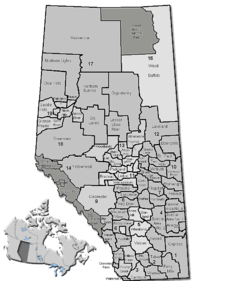
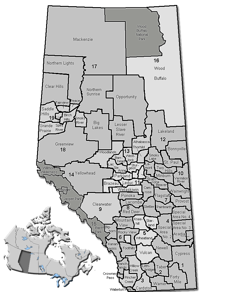
Region Northern Alberta Census division No. 17 Incorporated 1995 Government[1] – Reeve Alvin Billings – Governing body M.D. of Big Lakes Council – Municipal seat High Prairie Area – Total 13,892.91 km2 (5,364.1 sq mi) Population (2006)[2] – Total 5,805 – Density 0.4/km2 (1/sq mi) – Dwellings 2,215 Time zone MST (UTC-7) Website Big Lakes The Municipal District of Big Lakes is a municipal district in north-central Alberta, Canada.
It is located in Census Division 17, around the Lesser Slave Lake. Utikuma Lake and Winagami Lake are also located in this municipal district.
Contents
Demographics
In 2006, Big Lakes had a population of 5,805 living in 2,215 dwellings, a 0.7% decrease from 2001. The municipal district has a land area of 13,892.91 km2 (5,364.08 sq mi) and a population density of 0.4 /km2 (1.0 /sq mi).[2]
In 2001, the municipal district has a population of 5,845 in 2,183 dwellings, a 0.3% increase from 1996. On a surface of 13,893.10 km² it has a density of 0.4 inhabitants/km².[3]
Communities
The following communities are located in this municipal district:[4]
Towns
Villages
Reserves
- Drift Pile River
- Kapawe'no Freeman
- Halcro and Pakashan
- Sucker Creek
- Swan River
Hamlets
- Enilda
- Faust
- Grouard
- Joussard
See also
- List of communities in Alberta
- List of municipal districts in Alberta
References
- ^ Alberta Municipal Affairs: Municipal Officials Search
- ^ a b Statistics Canada (Census 2006). "Big Lakes - Community Profile". http://www12.statcan.ca/english/census06/data/profiles/community/Details/Page.cfm?Lang=E&Geo1=CSD&Code1=4817027&Geo2=PR&Code2=48&Data=Count&SearchText=Big%20Lakes&SearchType=Begins&SearchPR=01&B1=All&GeoLevel=&GeoCode=4817027. Retrieved 2007-06-11.
- ^ Big Lakes community profile - Statistics Canada. 2002. 2001 Community Profiles. Released June 27, 2002. Last modified: 2005-11-30. Statistics Canada Catalogue no. 93F0053XIE
- ^ Municipal Profile - Alberta Municipal Affairs
External links
Categories:

Wikimedia Foundation. 2010.