- Chilcompton railway station
-
Chilcompton Location Place Chilcompton Area Mendip Grid reference ST645514 Operations Pre-grouping Somerset and Dorset Joint Railway Post-grouping SR and LMSR
Western Region of British RailwaysPlatforms 2 History 20 July 1874 Opened 7 March 1966 Closed Disused railway stations in the United Kingdom Closed railway stations in Britain
A B C D–F G H–J K–L M–O P–R S T–V W–ZChilcompton railway station was a station on the Somerset and Dorset Joint Railway at Chilcompton in the county of Somerset in England. Opened on 20 July 1874, the station consisted of two platforms, the building on the down platform having a canopy. There was a goods yard and sidings, controlled from a 13 lever signal box, which replaced the original ground frame.
The station closed to goods in 1964: passenger services were withdrawn when the SDJR closed on 7 March 1966.
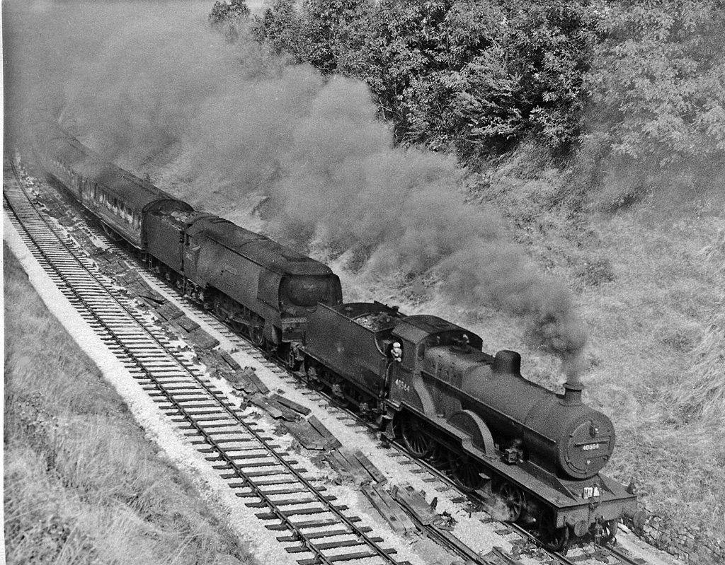
 Down S&D express approaching Chilcompton in 1959
The site today
The station is now partly overgrown and partly fenced off in a transport yard.[1] The line between here and Midsomer Norton South (2 miles, 2 chains) is being rebuilt as part of several projects to reopen the line.
Preceding station Disused railways Following station Binegar
Line and station closedSomerset & Dorset Joint Railway
LSWR & Midland RailwaysMidsomer Norton South
Line and station closedFurther reading
- R.V.J.Butt, (1995). The Directory of Railway Stations. Patrick Stephens Ltd. ISBN 1-85260-508-1
External references
Categories:- Disused railway stations in Somerset
- Former Somerset and Dorset Joint Railway stations
- Railway stations opened in 1874
- Railway stations closed in 1966
- Beeching closures in England
Wikimedia Foundation. 2010.