- Briarcroft Pasture
Geobox Protected Area
name = Briarcroft Pasture
native_name =
other_name =
other_name1 =
category_local = Site of Special Scientific Interest
category_iucn =
image_size =
image_caption =
country = England
region = North East
region_type = Region
district = Stockton-on-Tees
district_type = Unitary Authority
city =
city1 =
area_unit = ha
area = 1.8
area_round = 1
location = Whinney Hill
lat_d = 54
lat_m = 34
lat_s = 4
lat_NS = N
long_d = 1
long_m = 23
long_s = 23
long_EW = W
elevation =
established_type = Notification
established = 2004
management_body = Natural England
management_location =
management_lat_d =
management_lat_m =
management_lat_s =
management_lat_NS =
management_long_d =
management_long_m =
management_long_s =
management_long_EW =
management_elevation =
visitation =
visitation_year =
free_type = Area of Search
free = Cleveland
free1_type = Interest
free1 = Biological
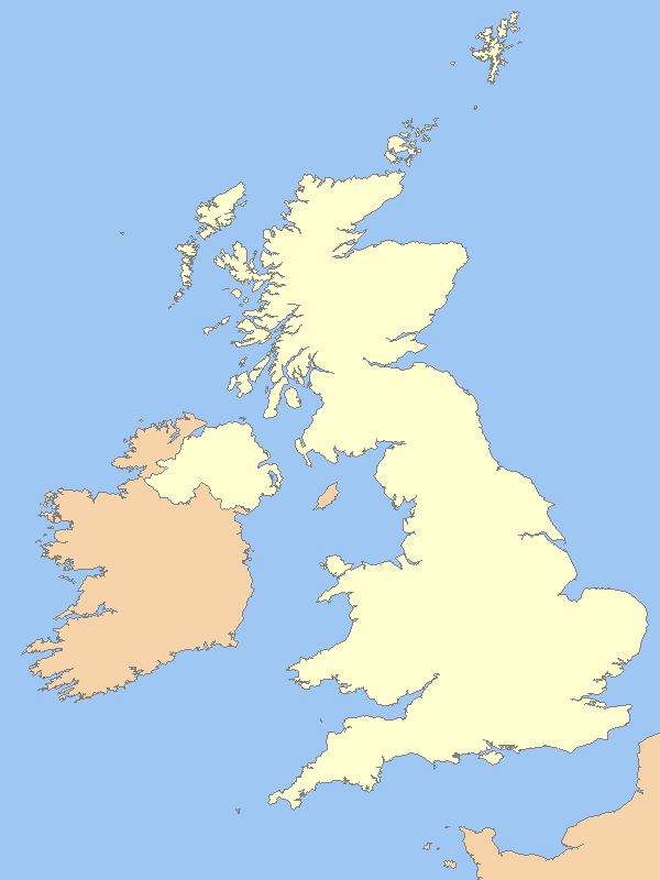
map_locator_x = 74
map_locator_y = 72
map_size = 243
map_caption =
map_locator = UK
map_first = yes
website = [http://www.natureonthemap.org.uk/map.aspx?]
Briarcroft Pasture (gbmapping|NZ394193) is a 1.76
hectare biological Site of Special Scientific Interest in Cleveland,England notified in 2004.Reason for Notification
SSSIs are designated by
Natural England , formallyEnglish Nature , which uses the 1974-1996 county system. This means there is no grouping of SSSIs by Stockton-on-Tees unitary authority, orCounty Durham which is the relevant ceremonial county . As such Briarcroft Pasture is one of 18 SSSIs in the Cleveland area of search. [cite web | title=SSSIs in Cleveland area of search | url=http://www.english-nature.org.uk/special/sssi/searchresults.cfm?sssi_name=&frmcounty=1007 | work=English Nature | accessdate=2007-01-31]Briarcroft Pasture is nationally important for its species-rich
grassland which is unimproved by fertilisers. This type of grassland - once common in theTees lowland - is becoming increasingly rare with associated species also becoming rare. Briarcroft Pasture is one of only two remaining examples of this habitat in the Tees lowland area. The other example isWhitton Bridge Pasture an SSSI approximately 3 km to the north which was designated at the same time but is significantly larger.cite web | title=Whitton Bridge Pasture citation sheet| url=http://www.english-nature.org.uk/citation/citation_photo/2000474.pdf | work=English Nature | accessdate=2006-02-02] cite web | title=Stockton-on-Tees Borough annual monitoring report 2004/2005 | url=http://www.stockton.gov.uk/resources/environment/planning/newsystem/amr_0405.pdf | work=Stockton-on-Tees Borough council | accessdate=2007-02-03]Under the
British National Vegetation Classification (NVC), Briarcroft Pasture is considered as mesotrophic grassland because it represents a well-drained and permanent pasture. In particular it is considered the MG5 community due to the species present. MG5 is widespread in many lowland areas in England, Wales and Scotland as well as the Midlands and Yorkshire. Briarcroft Pasture is predominantly subcommunity MG5c ("Danthonia decumbens") however this forms a mosiac with community MG9 which is associated with poorly-drained permanent pastures.cite book |editor=John S. Rodwell |title=British Plant Communities Volume 3: Grasslands and montane communities |pages=p. 63 |year=1998 |publisher=Cambridge University Press |location= |isbn= 0-521-62719-2 ] cite web | title=Briarcroft Pasture citation sheet| url=http://www.english-nature.org.uk/citation/citation_photo/2000475.pdf | work=English Nature | accessdate=2007-01-31]ite desription
Abiotic
Briarcrift Pasture, located west of
Stockton-on-Tees and close toWhinney Hill, County Durham , is a small site 1.8 hectares (4.4 acres). Topographically the site is level and has an altitude of approximately 50m and is adjacent to a small stream. [cite web | title=Site map| url=http://www.natureonthemap.org.uk/map.aspx?] The underlying
geology of Whitton Bridge Pasture is responsible for shaping the species-rich community found on the surface. Glacial tills andsands are the prominent geological features resulting in a relatively base-poor soil, characteristic of glacial drift geology. The soils of MG5c ("Danthonia decumbens") subcommunity are typically acidic.Located in
North East England , Briarcroft Pasture experience a climate that differs from theUK average.ref label|climate|A|A The North East receives on average 370 mm lessrainfall than the UK over a year. Similarly the North East has roughly 129 days each year with more than 1 mm of rainfall, this is over 25 days less than UK average. Temperature is similar for both the North East and the UK, although the North East does have fewer days with air frost and more hours of sunshine per year. [cite web | title=UK average climate| url=http://www.metoffice.gov.uk/climate/uk/averages/19712000/areal/uk.html | work=Met Office | accessdate=2007-02-24] [cite web | title=East and North East England average climate| url=http://www.metoffice.gov.uk/climate/uk/averages/19712000/areal/england_e_&_ne.html | work=Met Office | accessdate=2007-02-24]Biotic
The majority of the site is made up of species-rich grassland (subcommunity MG5c), which comprises three dominant species of
grass and several other grass species at lower abundances. The dominant species are Red Fescue ("Festuca rubra"), Common Bent ("Agrostis capillaris") andYorkshire Fog ("Holcus lanatus"). The less abundant species of grass include,Crested Dog’s-tail ("Cynosurus cristatus"), Heath-grass ("Danthonia decumbens") andCocksfoot ("Dactylis glomerata"). The subcommunity also has many broad-leaved herbs including Common Knapweed ("Centaurea nigra"),Tormentil ("Potentilla erecta"), Devils-bit scabious ("Succisa pratensis") andBetony ("Stachys officinalis").A second community, MG9, forms a mosaic with the species rich grassland of MG5. This second community is associated with "Holcus lanatus" and "Deschampsia caespitosa". Other prominent plants are herbs, including many species with a local distribution among them; Saw-wort ("Serratula tinctoria") and dyer’sgreenweed ("Genista tinctoria"). Meadow Barely ("Hordeum secalinum") is also present.
Notes
note label|climate|A|AThere is no climate data for Briarcroft Pasture itself, therefore the average data for the East and North East of England is used when comparing to the UK average. The closest weather station to Whitton is located atDurham . The averages from this station show even greater differences when compared to the UK average. [cite web | title=Durham average climate| url=http://www.metoffice.gov.uk/climate/uk/averages/19712000/sites/durham.html | work=Met Office | accessdate=2007-02-24] It is therefore likely that the differences described in the article are an underestimate of how Whitton Bridge Pasture differs to the national climate.References
Wikimedia Foundation. 2010.