- Mount Ainslie (Australian Capital Territory)
-
Mount Ainslie 
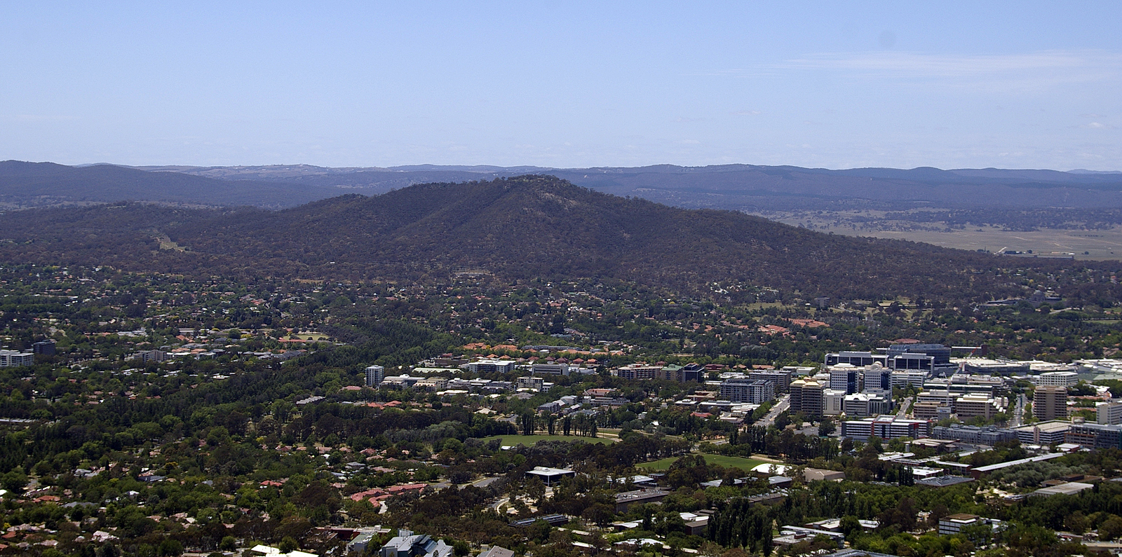
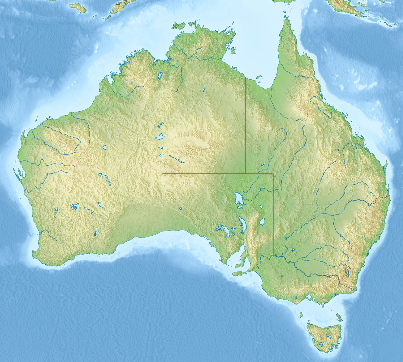
Mount Ainslie viewed from the Telstra TowerElevation 842 m (2,762 ft) Location Location in Australia
 Mount Ainslie
Location Canberra, Australia Range Brindabella Ranges Coordinates 35°16′12″S 149°09′30″E / 35.27°S 149.15833°ECoordinates: 35°16′12″S 149°09′30″E / 35.27°S 149.15833°E Climbing First ascent Unknown Easiest route Drive  Mount Ainslie Locality Map
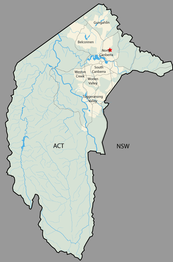
Mount Ainslie or Mount Ainslie-Majura is a part of Canberra Nature Park. It borders on the inner suburbs of Campbell, Ainslie and Hackett. It is named after James Ainslie, a 19th century settler who was the overseer on Duntroon, a large property in the area.[1]Contrary to what some accounts have stated, he is not buried in an unmarked grave at the base of the hill.
Mount Ainslie has a lookout area surmounted by a rotating aircraft beacon on the summit which stands 842 metres above sea level[2] and provides scenic views across the city and surrounding country within the Australian Capital Territory and beyond to New South Wales (NSW). The walking trail which leads from the back of the Australian War Memorial is well maintained with steps and is paved, and is often used. The trail has a number of plaques[3] commemorating the battles fought in World War 2 in the Kokoda Trail in Papua New Guinea, with the plaques set out as though it was on the Kokoda Trail. A quarry is located around 200 metres from the peak[4]
Mount Ainslie marks the northernmost point of a land axis, planned by Walter Burley Griffin,[5] that stretches through North and South Canberra. This axis takes in the Australian War Memorial and the two Parliament Houses.
References
- ^ White, Harold Leslie (1954). Canberra, a nation's capital : prepared for the thirtieth meeting of the Australian and New Zealand Association for the Advancement of Science, held at Canberra, 13th-20th January 1954. Angus & Robertson. p. 17. http://books.google.com/books?id=tclBAAAAMAAJ. Retrieved 26 January 2011.
- ^ The Australian encyclopaedia. Grolier Society of Australia. 1 January 1977. ISBN 9780959660401. http://books.google.com/books?id=XnoZAQAAIAAJ. Retrieved 26 January 2011.
- ^ Inglis, K. S. (1 April 2008). Sacred Places: War Memorials in the Australian Landscape. The Miegunyah Press. p. 502. ISBN 9780522854794. http://books.google.com/books?id=4YWbbE5KpRIC&pg=PA502. Retrieved 26 January 2011.
- ^ Owen, M. (1987). Geological monuments of the Australian Capital Territory. Australian Heritage Commission. http://books.google.com/books?id=W87rAAAAMAAJ. Retrieved 26 January 2011.
- ^ Griffin, Marion Mahony; Watson, Anne Jeanette; Griffin, Walter Burley; Powerhouse Museum (1998). Beyond architecture: Marion Mahony and Walter Burley Griffin : America, Australia, India. University of Illinois Press. p. 91. ISBN 9781863170680. http://books.google.com/books?id=2nXASMsccvgC&pg=PA91. Retrieved 26 January 2011.
External links
 Media related to Mount Ainslie (Australian Capital Territory) at Wikimedia CommonsCategories:
- Parks in Canberra
- Mountains of the Australian Capital Territory
- Volcanoes of the Australian Capital Territory
- Silurian volcanism
Wikimedia Foundation. 2010.