- Shire of Busselton
Infobox Australian Place | type = lga
name = Shire of Busselton
state = wa
imagesize= 180
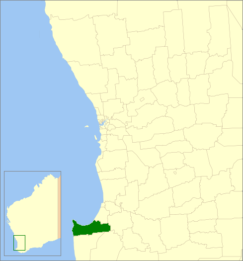
caption = Location inWestern Australia
pop = 25,354 (2006 census)
area = 1454.8
est = 1951
seat = Busselton
mayor = Wes Hartley
region = South West
url = http://www.busselton.wa.gov.au
stategov = Vasse
fedgov = Forrest
near-nw =
near-n = "Geographe Bay "
near-ne = Capel
near-e = Donnybrook-
Balingup
near-w = "Indian Ocean "
near-sw =
near-s = Augusta-Margaret River
near-se = NannupThe Shire of Busselton is a Local Government Area in the South West region of
Western Australia , approximately convert|230|km|mi|0 south of Perth, the state capital. The Shire covers an area of convert|1455|km2|sqmi|0 and has a population of 25,354 (2006). It contains two large towns, Busselton and Dunsborough, and a number of smaller towns. The shire office is located on Southern Drive, Busselton.History
The Shire of Busselton began in 1871 as two entities - the "Busselton Municipal District", governing the town of Busselton, and the "Sussex Road District", governing the rural area. The two merged in 1951 to become the Busselton Road District. On 1 July 1961, the Road Board became the Busselton Shire Council. [WA Electoral Commission, "Municipality Boundary Amendments Register" (release 2.0), 31 May 2003.]
The Shire of Busselton, together with neighbouring Capel, are among the state's fastest growing areas.
Wards
The shire has been divided into 6 wards.
*Central Rural Ward (1 Councillor)
*Central Urban Ward (5 Councillors)
*East Rural Ward (1 Councillor)
*East Urban Ward (2 Councillors)
*West Rural Ward (2 Councillors)
*West Urban Ward (2 Councillors)Localities
The Shire of Busselton is divided into several localities:
References
External links
* [http://www.busselton.wa.gov.au Busselton Shire Council]
Wikimedia Foundation. 2010.