- Rideau Lakes, Ontario
-
"Crosby, Ontario" redirects here. For the neighbourhood, see Markham, Ontario.
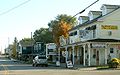
Rideau Lakes — Township — Municipal office

 Rideau Lakes
Coordinates: 44°40′N 76°13′W / 44.667°N 76.217°W Country  Canada
Province  Ontario
County Leeds and Grenville Settled Incorporated 1 January 1998 Government – Mayor Ron Holman – Federal riding Leeds–Grenville – Prov. riding Leeds–Grenville Area[1] – Land 710.25 km2 (274.2 sq mi) Population (2006)[1] – Total 10,350 – Density 14.6/km2 (37.8/sq mi) Time zone EST (UTC-5) – Summer (DST) EDT (UTC-4) Postal Code K0E Area code(s) 613 Website www.twprideaulakes.on.ca Rideau Lakes is a township located within Leeds and Grenville County in Eastern Ontario, Canada. The township was incorporated on 1 January 1998 by amalgamating the former townships of North Crosby, South Crosby, Bastard, South Burgess and South Elmsley with the village of Newboro.[2]
Rideau Lakes lies in the northwest corner of Leeds and Grenville, and is geographically the largest municipality in the county.
Farming, tourism, and service industries form the backbone of the local economy. The many tourist attractions in Rideau Lakes, including historic trails, the stone arch dam at Jones Falls, and the Rideau Waterway, are also an important part of the township's economy.
Rideau Lakes has 500 km (310 mi) of shoreline, excluding the Rideau Waterway. The waterway itself traverses the township, from the towering granite cliffs near Chaffeys Lock to the more gentle and pastoral areas of the Lower Rideau Lake.[3]
The township had a population of 10,350 in the Canada 2006 Census.
Contents
Communities
Rideau Lakes contains many villages and hamlets, including Chaffeys Lock, Chantry, Crosby, Daytown, Delta, Elgin, Forfar, Freeland, Harlem, Jones Falls, Lombardy, Morton, Newboro, Newboyne, Phillipsville, Plum Hollow, Portland, Rideau Ferry, and Scotch Point.
The independent village of Westport is entirely surrounded by Rideau Lakes, but is not part of the township.
Newboro
A plaque was erected by the Ontario Heritage Foundation commemorating the founding of Newboro with the building of the Rideau Canal in 1826–32. Benjamin Tett settled here in 1833. He opened a store and later a post office. The community served as a major construction camp during the building of the Rideau Canal. Newboro was a trade centre for the region's lumbering industry and agriculture. The economic development of the community was enabled by the shipment of iron ore from local mines via the Rideau canal to smelters in Pittsburgh and Cleveland during the latter part of the 19th century.[4] The Village of Newboro was incorporated in 1876.
Chaffey's Lock
A plaque was erected by the Ontario Heritage Foundation commemorating the founding of Chaffey's Lock by Benjamin and Samuel Chaffey, who established mills here in 1820. Samuel Chaffey settling here shortly thereafter. The site included a distillery and saw, grist, carding, and fulling mills by 1827. The mills were flooded by the building of the Rideau Canal. A plaque was erected by the Chaffey's Lock and Area Heritage Society commemorating the founders, early builders, and all who have been part of the Chaffey's Lock community. Plaques have been erected by individuals and families on the Memory Wall, at Chaffey's Lock Cemetery.
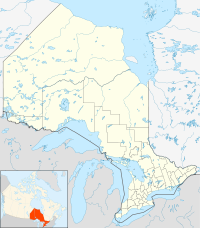
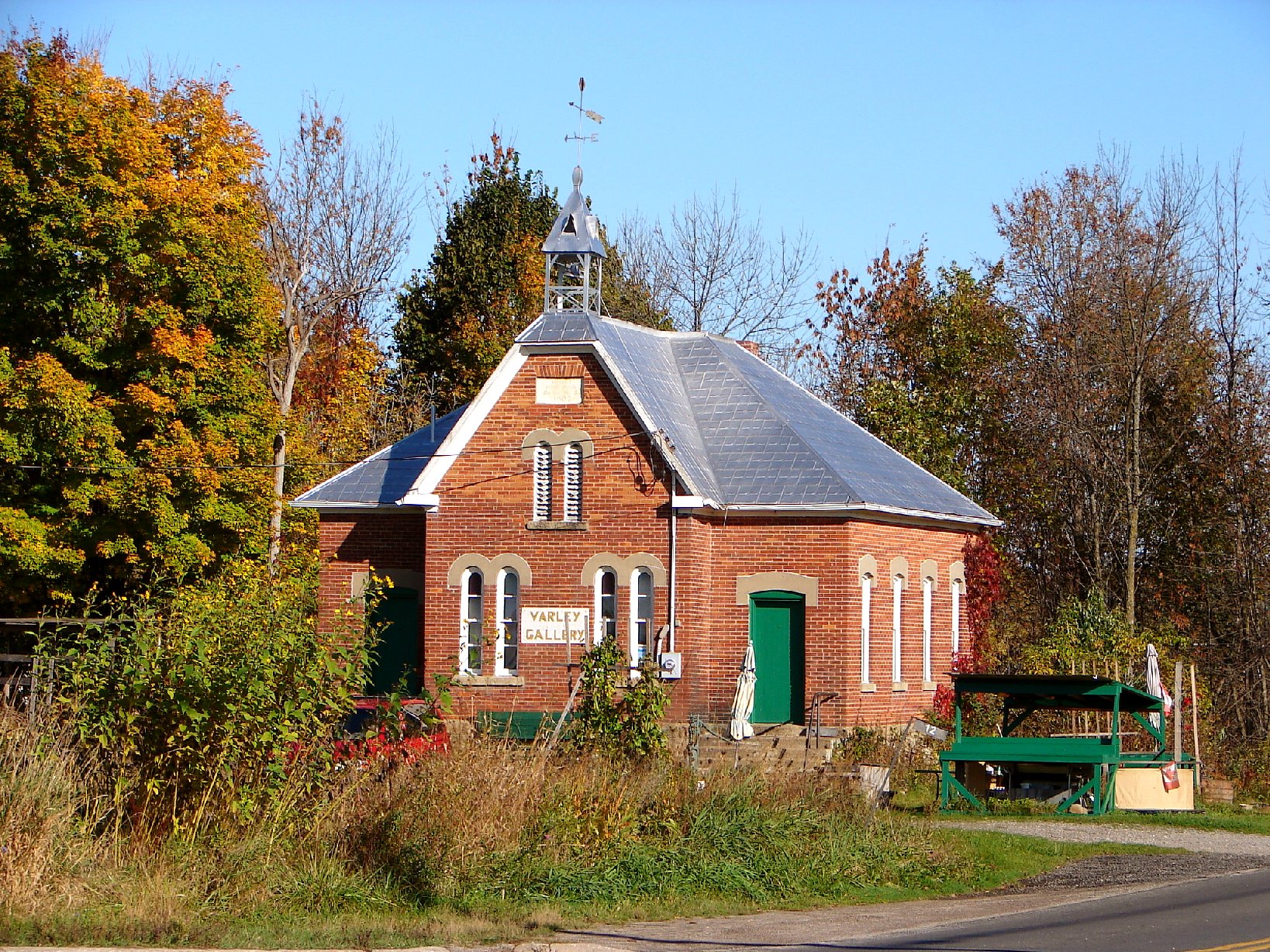
-
Old school building in Crosby
-

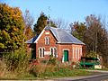
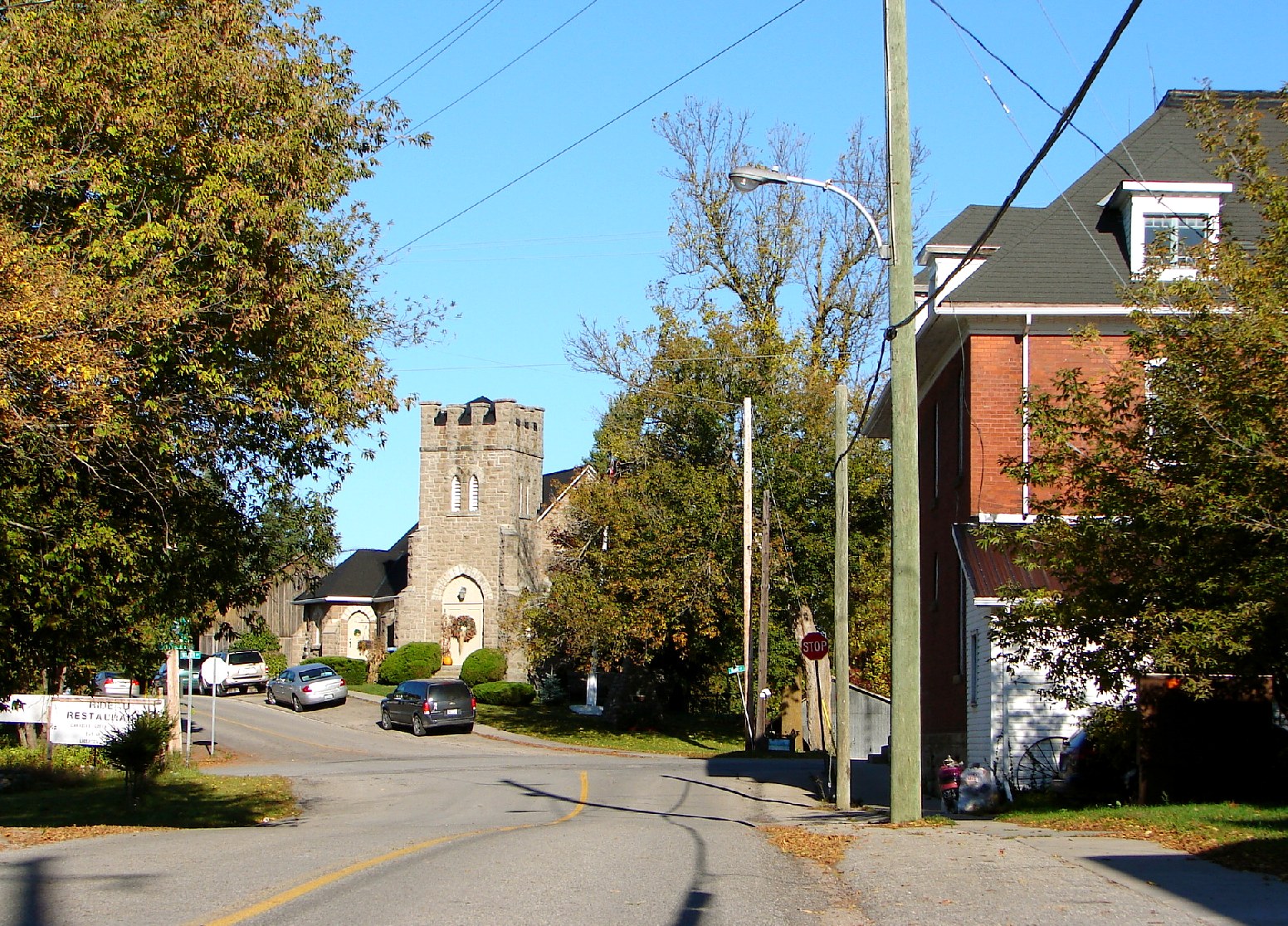
Elgin
-

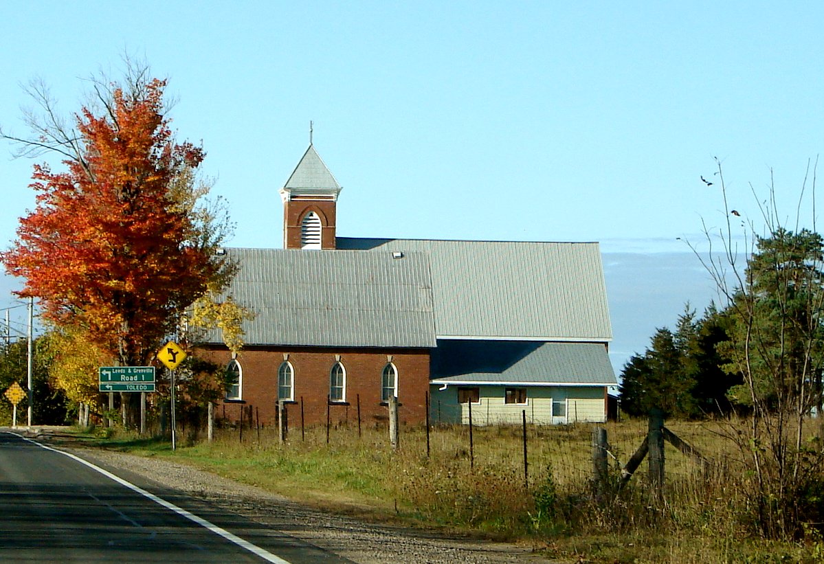
Lombardy
-
Newboro
Demographics
Population trend:[5]
- Population in 2006: 10,350 (2001 to 2006 population change: 6.8%)
- Population in 2001: 9,687
- Population in 1996:
- Bastard and South Burgess Township: 2692
- Newboro Village: 291
- North Crosby Township: 1097
- South Crosby Township: 1910
- South Elmsley Township: 3574
- Population in 1991:
- Bastard and South Burgess Township: 2610
- Newboro Village: 282
- North Crosby Township: 968
- South Crosby Township: 1677
- South Elmsley Township: 3065
Private dwellings occupied by usual residents: 4167 (total dwellings: 6468)
Mother tongue:[1]
- English as first language: 94.2%
- French as first language: 2.1%
- English and French as first language: 0.3%
- Other as first language: 3.4%
References
- ^ a b c Statistics Canada 2006 Census - Rideau Lakes community profile
- ^ Ontario Summary of Municipal Restructuring
- ^ Township of Rideau Lakes
- ^ http://www.heritagefdn.on.ca/userfiles/HTML/nts_1_5888_1.html Ontario Heritage Trust Founding of Newboro
- ^ Statistics Canada: 1996, 2001, 2006 census
External links

Tay Valley Drummond/North Elmsley Smiths Falls
Merrickville-WolfordSouth Frontenac 
Elizabethtown-Kitley  Rideau Lakes (completely surrounds Westport)

Leeds and the Thousand Islands Athens Categories:- Township municipalities in Ontario
- Municipalities in Leeds and Grenville United Counties, Ontario
-


Wikimedia Foundation. 2010.