- Utsjoki
-
Utsjoki
Utsjoki – Ohcejohka— Municipality — Utsjoen kunta Utsjoki Church and a log cabin

Coat of armsLocation of Utsjoki in Finland
Coordinates: 69°54′N 027°01′E / 69.9°N 27.017°ECoordinates: 69°54′N 027°01′E / 69.9°N 27.017°E Country Finland Region Lapland Sub-region Northern Lapland Charter 1876 Government – Municipal manager Viljo Pesonen Area(2011-01-01)[1] – Total 5,371.78 km2 (2,074.1 sq mi) – Land 5,144.27 km2 (1,986.2 sq mi) – Water 227.51 km2 (87.8 sq mi) Area rank 13th largest in Finland Population (2011-01-31)[2] – Total 1,300 – Rank 316th largest in Finland – Density 0.25/km2 (0.6/sq mi) Population by native language[3] – Finnish 51.6% (official) – Swedish 0.2% – Sami 46.6% (official) – Others 1.7% Population by age[4] – 0 to 14 13.8% – 15 to 64 65.8% – 65 or older 20.3% Time zone EET (UTC+2) – Summer (DST) EEST (UTC+3) Municipal tax rate[5] 20.75% Website www.utsjoki.fi Utsjoki (Northern Sami: Ohcejohka, Inari Sami: Uccjuuhâ, Skolt Sami: Uccjokk) is a municipality in Finland. It is located in Lapland and borders Norway as well as the municipality of Inari. The municipality was founded in 1876. It has a population of 1,300 (31 January 2011)[2] and covers an area of 5,371.78 square kilometres (2,074.06 sq mi) of which 227.51 km2 (87.84 sq mi) is water.[1] The population density is 0.25 inhabitants per square kilometre (0.65 /sq mi).
Utsjoki has two official languages: Finnish and Northern Sami. It is the municipality in Finland with the largest portion of Sami speakers; 46.6% of the population.[3]
The border to Norway follows the river Teno which flows into the Arctic Sea. The river is a popular site for recreational fishing because it is rich in salmon. The most northern village in Finland and in the European Union is Nuorgam which is also the most northern land border crossing in the world.
Utsjoki is the northern end of highway 4, the longest highway in Finland. The European route E75 runs along the Sami Bridge further to Norway.
Between the Teno and the Utsjoki river, there is an old hotel very popular between Norwegians and Finns alike, that was built by the Finnish Tourist Association in 1959. The outside look is still the same, but the rooms have been renovated and the hotel now named Hotel Luossajohka.
The Nature reserve Kevo is located in the municipality. It covers a territory of 712 km2 (275 sq mi) and there is a 63 km (39 mi) long hiking trail. The trail partly follows the edge of the Kevo canyon.
Contents
Villages in Utsjoki
Nuorgam, Utsjoki centre, Nuvvus, Dalvadas, Outakoski, Rovisuvanto, Karigasniemi and Kaamasmukka.
Politics
Results of the Finnish parliamentary election, 2011 in Utsjoki:
- Centre Party 39.7%
- National Coalition Party 17.0%
- True Finns 16.5%
- Social Democratic Party 9.1%
- Left Alliance 7.0%
- Green League 3.8%
- Swedish People's Party 2.9%
- Christian Democrats 2.6%
- Communist Party of Finland 1.2%
- Other parties 0.3%
References
- ^ a b "Area by municipality as of 1 January 2011" (in Finnish and Swedish) (PDF). Land Survey of Finland. http://www.maanmittauslaitos.fi/sites/default/files/pinta-alat_2011_kunnannimenmukaan.xls. Retrieved 9 March 2011.
- ^ a b "Population by municipality as of 31 January 2011" (in Finnish and Swedish). Population Information System. Population Register Center of Finland. http://vrk.fi/default.aspx?docid=4258&site=3&id=0. Retrieved 18 February 2011.
- ^ a b "Population according to language and the number of foreigners and land area km2 by area as of 31 December 2008". Statistics Finland's PX-Web databases. Statistics Finland. http://pxweb2.stat.fi/Dialog/varval.asp?ma=060_vaerak_tau_107_fi&ti=V%E4est%F6+kielen+mukaan+sek%E4+ulkomaan+kansalaisten+m%E4%E4r%E4+ja+maa%2Dpinta%2Dala+alueittain++1980+%2D+2008&path=../Database/StatFin/vrm/vaerak/&lang=3&multilang=fi. Retrieved 29 March 2009.
- ^ "Population according to age and gender by area as of 31 December 2008". Statistics Finland's PX-Web databases. Statistics Finland. http://pxweb2.stat.fi/Dialog/varval.asp?ma=050_vaerak_tau_104_fi&ti=V%E4est%F6+i%E4n+%281%2Dv%2E%29+ja+sukupuolen+mukaan+alueittain+1980+%2D+2008&path=../Database/StatFin/vrm/vaerak/&lang=3&multilang=fi. Retrieved 28 April 2009.
- ^ "List of municipal and parish tax rates in 2011". Tax Administration of Finland. 29 November 2010. http://www.vero.fi/nc/doc/download.asp?id=7996;193801. Retrieved 13 March 2011.
External links
 Media related to Utsjoki at Wikimedia Commons
- Municipality of Utsjoki (Finnish) (Sami)
- Hotel Luossajohka Utsjoki
-

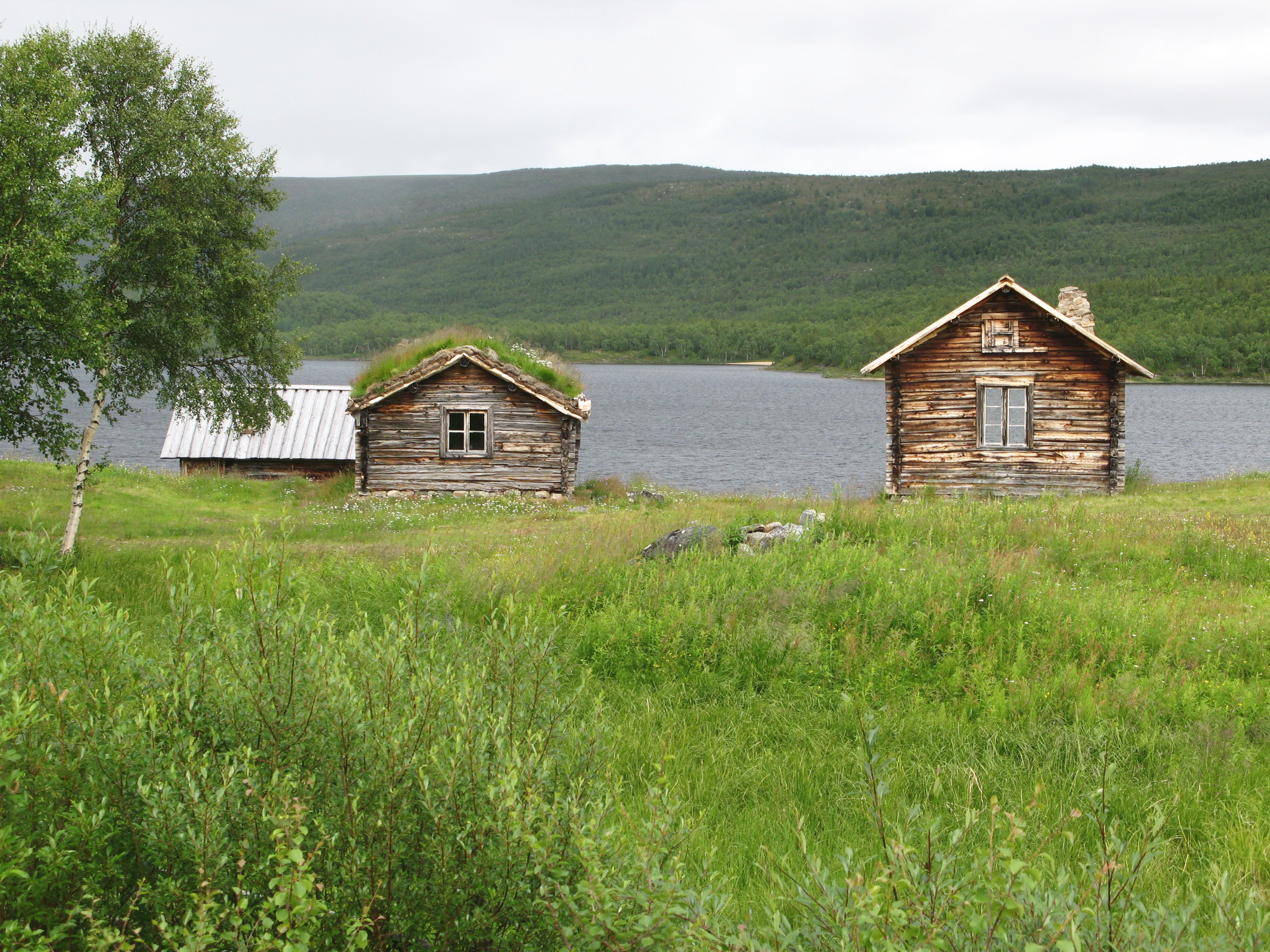
Mantojärvi, near Utsjoki village
-

Utsjoki seen from Norway
-

The Sami Bridge connects Utsjoki to Norway
Municipalities of Lapland Municipalities 
Former municipalities Lapland · FinlandCategories:- Utsjoki
- Municipalities of Lapland Region
- Sami language municipalities
- Populated places established in 1876


Wikimedia Foundation. 2010.