- County Leitrim
-
County Leitrim
Contae Liatroma
Coat of arms
Coordinates: 54°07′01″N 8°00′00″W / 54.117°N 8.000°WCoordinates: 54°07′01″N 8°00′00″W / 54.117°N 8.000°W Country Ireland Province Connacht Dáil Éireann Roscommon-South Leitrim
Sligo-North LeitrimEU Parliament North-West County seat Carrick-on-Shannon Government – Type County Council Area – Total 1,588 km2 (613.1 sq mi) Area rank 26th Population (2011) 31,778 – Rank 32nd Car plates LM Website leitrim.ie County Leitrim (Irish: Contae Liatroma) is a county in Ireland. It is located in the West Region and is also part of the province of Connacht. It is named after the village of Leitrim. Leitrim County Council is the local authority for the county. The population of the county is 31,778 according to the 2011 census.[1]
Contents
Geography and political subdivisions
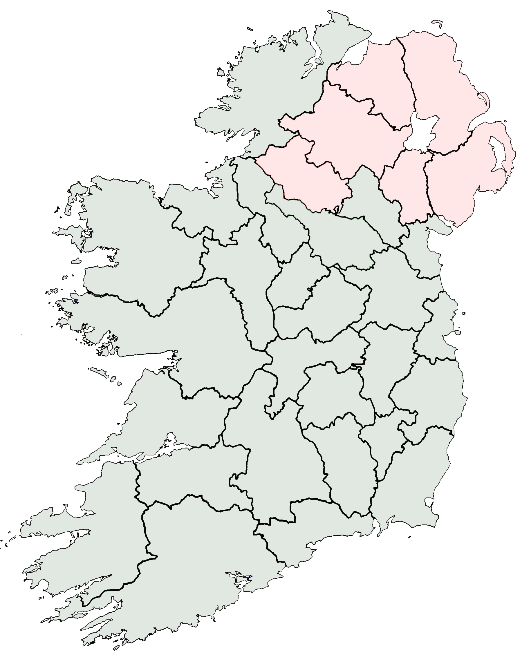
Leitrim is the 26th largest of the 32 counties by area and the smallest by population.[2] It is the smallest of Connacht’s 5 counties in both size and population. Leitrim is bordered by the counties of Donegal to the north, Fermanagh to the north-east, Cavan to the east, Longford to the south, Roscommon to the south-west and Sligo to the west. Fermanagh is in Northern Ireland while all the other neighbouring counties are within the Republic.
Towns & villages in north Leitrim
- Askill
- Ballinaglera
- Buckode
- Cloonsheerevagh
- Drumkeeran
- Dromahair
- Glenfarne
- Kiltyclogher
- Kinlough
- Killargue
- Largydonnell
- Lurganboy
- Manorhamilton
- Rossinver
- Saddlehill
- Tullaghan
Towns & villages in south Leitrim
- Aghamore
- Ballinamore
- Bornacoola
- Carrick-on-Shannon
- Carrigallen
- Cloone
- Drumcoura
- Drumcong
- Dromod
- Drumshanbo
- Drumsna
- Fenagh
- Eslinbridge
- Jamestown
- Johnstownbridge
- Keshcarrigan
- Leitrim
- Mohill
- Newtowngore
Physical geography
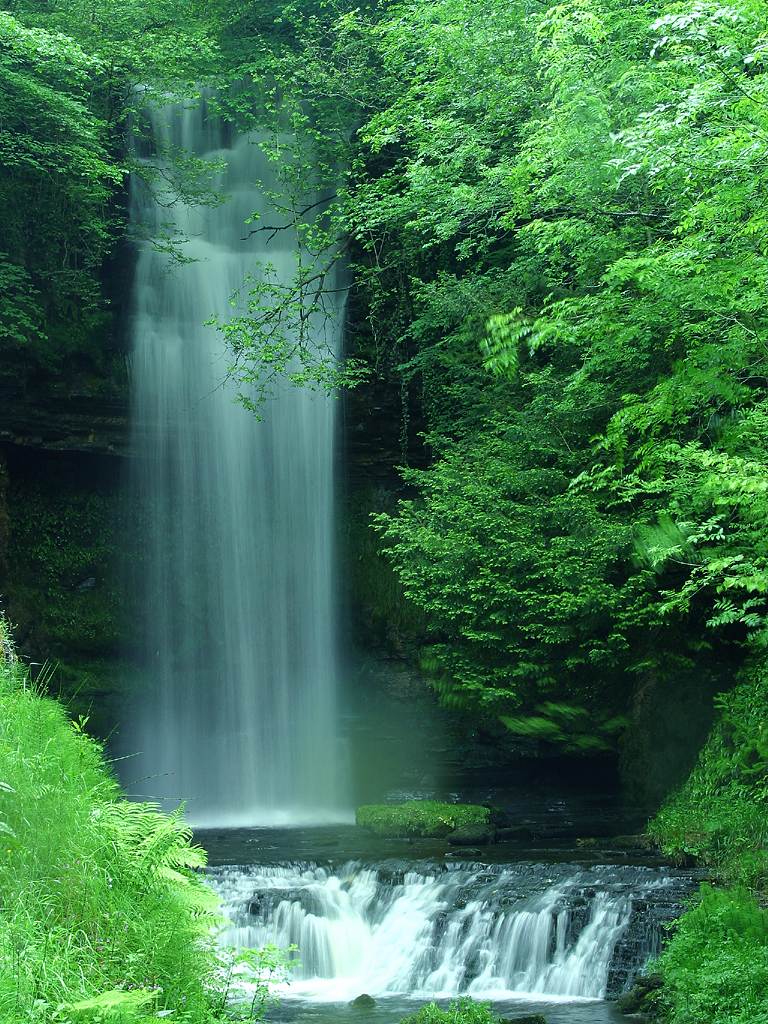
 Glencar Waterfall at Glencar Lough.
Leitrim has a dramatic hilly and mountainous landscape in its north-west and is relatively flat in the south-east, each separated from the other by Lough Allen in the middle of the county. It is a tranquil area of great natural beauty, consisting of lofty mountains, deep valleys, pastures, lakes, rolling hills and rivers. Leitrim has the shortest length of coastline of any Irish county that touches the sea. At Tullaghan, the coastline is only 2.5 km long.[3] Leitrim offers scenic panoramic vistas of Lough Allen and the River Shannon. The Shannon is linked to the Erne via the Shannon-Erne Waterway. Notable lakes include:
- Lough Melvin is internationally renowned for its unique range of plants and animals.
- Lough Allen offers amazing views, especially from the road between Leitrim Village and Drumkeeran
- Lough Gill is to the northwest of Dromahair; Parke's Castle is located on the lake shore.
- Belhavel Lough is also located in Dromahair, within the parish of Killargue.
- Other particularly beautiful lakes include Lough Garadice, Lough Glenade, Lough Rynn and Lough MacNean.
History
 Leitrim countryside.
In ancient times Leitrim formed the western half of the Kingdom of Breifne. This region was long influenced by the O'Rourke family of Dromahair, whose heraldic lion occupies the official county shield to this day. Close ties initially existed with East Breifne, now County Cavan, and the O'Reilly clan seated there. The Normans invaded in the 13th century and occupied the south of Breifne. Much of the county was confiscated from its owners in 1620 and given to Villiers and Hamilton. Their initial objective was to plant the county with English settlers. However, this proved unsuccessful. English Deputy Sir John Perrot had ordered the legal establishment of "Leitrim County" a half-century prior, in 1565. Perrott also demarked the current county borders around 1583. Five forests are traditionally said to have stood in Leitrim up till the 17th century.
Leitrim was first hit by the recession caused by the mechanisation of [linen] weaving in the 1830s and its 155,000 residents (as of the 1841 census) were ravaged by the Great Famine and the population dropped to 112,000 by 1851. The population subsequently continued to decrease due to emigration. After many years, the wounds of such rapid population decline have finally started to heal. Agriculture improved over the last century. Leitrim now has the fastest growing population in Connacht.
Working of the county's rich deposits of iron ore began in the 15th century and continued until the mid 18th century. Coal mining became prominent in the 19th century to the east of Lough Allen in Sliabh an Iariann and also to the west in Arigna, on the Roscommon border. The last coal mine closed in July 1990 and there is now a visitor centre.[4] Sandstone was also quarried in the Glenfarne region. William Butler Yeats spent the turn of the twentieth century fascinated with Lough Allen and much of Leitrim. In the northwest, 11 km from Manorhamilton can be found Glencar Waterfall, which was an inspiration to Yeats and is mentioned in his poem The Stolen Child.
Due to its small size, low population density and high migration, the county has been known as a classic example of rural depopulation that is a big problem in Connacht, which is already the least populated province. Evidence of this includes Leitrim been splint between Sligo and Roscommon for general elections.
Demographics
- Leitrim has the fastest growing population of any county in Connacht. As measured by census, the population rose by 12.2% between 2002 and 2006 to 29,000.[5]
- 2005 HEA statistics identified that Leitrim has the highest rate of participation in higher education in the Republic with 75% of 17-19 year olds being admitted to a higher course.[6]
- The county town is Carrick-on-Shannon (3,505 inhabitants).[7] It is a highly developed, prospering river port on the River Shannon and many tourists hire cruising boats here to explore the Shannon and the Shannon-Erne Waterway -a 63 km canal linking the two river systems. It is amongst the fastest growing towns in Ireland having grown by 25% in the past few years.[8]
- According to 2008 statistics, Leitrim county has the third highest suicide rate in Ireland and the lowest male life expectancy at 72.8 years (average is 75.6).
Historical populations Year Pop. ±% 1659 4,275 — 1821 124,783 +2818.9% 1831 141,524 +13.4% 1841 155,297 +9.7% 1851 111,897 −27.9% 1861 104,744 −6.4% 1871 95,562 −8.8% 1881 90,372 −5.4% 1891 78,618 −13.0% 1901 69,343 −11.8% 1911 63,582 −8.3% 1926 55,907 −12.1% 1936 50,908 −8.9% 1946 44,591 −12.4% 1951 41,209 −7.6% 1956 37,056 −10.1% 1961 33,470 −9.7% 1966 30,572 −8.7% 1971 28,360 −7.2% 1979 27,844 −1.8% 1981 27,609 −0.8% 1986 27,035 −2.1% 1991 25,301 −6.4% 1996 25,057 −1.0% 2002 25,799 +3.0% 2006 28,950 +12.2% 2011 31,778 +9.8% [9] Local government and politics
Main article: Leitrim County Council2009 Irish Local Elections[10]
Leitrim County CouncilParty Seats Change Fine Gael 10 + 2 Fianna Fáil 8 - 2 Sinn Féin 2 = Independent 2 = Leitrim County Council is the local authority for the administrative county. The county is divided into five local electoral areas for the purpose of elections:[10] Ballinamore (5 councillors), Carrick-on-Shannon (5 councillors), Dromahaire (5 councillors), and Manorhamilton (5 councillors).
The county is divided into two constituencies for elections to Dáil Éireann. They are: Roscommon-South Leitrim and Sligo-North Leitrim. This division which was first used for the 2007 general election proved highly controversial as it resulted in no TD whose domicile was in the county. As of 2011, the only Leitrim based TD is Michael Colreavy (Sinn Féin).
Transport
 Bridge in Carrick-on-Shannon.
- Supplementing the local and regional road networks are the N15 (Sligo-Leitrim-Donegal), N16 (Sligo-Leitrim-Enniskillen) and N4 (Sligo-Leitrim-Dublin) national roads.
- Railway stations in Leitrim on the Dublin to Sligo line include Dromod and Carrick-on-Shannon.
- The Cavan and Leitrim Railway opened on 17 October 1887. It consisted of two branches, meeting at Ballinamore which connected Dromod and Arigna with Belturbet. Services carried goods, passengers and coal from around Lough Allen. Although protested, the line finally closed on 31 March 1959.
- Railway stations in Leitrim on the former Sligo-Enniskillen Railway included Dromahair, Manorhamilton and Glenfarne.
- The Shannon and Shannon-Erne Waterway give access to much of Leitrim by boat.
- Recently, proposals have been put forward to move Sligo Airport to a geographically better location near the village of Kinlough in County Leitrim.[11]
People
See also Category: People from County Leitrim.- John McGahern - author.
- John Willoughby Crawford - third Lieutenant Governor of Ontario, Canada.
- Katherine Lynch - comedienne.
- Pat Quinn - founder of Quinnsworth.
- Patrick McGoohan - actor.
- Paul Williams - journalist.
- Seán Mac Diarmada - Irish republican.
- Thomas Heazle Parke -explorer, naturalist.
- Patrick Rogan - US Army soldier and Medal of Honor recipient.
See also
- Lord Lieutenant of Leitrim
- High Sheriff of Leitrim
References
- ^ 2011 Census
- ^ Corry, Eoghan (2005). The GAA Book of Lists. Hodder Headline Ireland. pp. 186–191.
- ^ An Article on the geography/history of Leitrim http://www.libraryireland.com/Atlas/Leitrim.php
- ^ Sliabh an Iarainn Visitor Centre
- ^ Population increase in Co. Leitrim
- ^ HEA statistics 2005
- ^ "Population and area of each Province, County, City, urban area, rural area and Electoral Division, 2002 and 2006" (pdf). Census 2006, Volume 1 - Population Classified by Area. CSO. 2007-04-26. pp. page 106. http://www.cso.ie/census/documents/census2006_Table_6.pdf. Retrieved 2008-05-29.
- ^ "IDA Population information on Carrick-on-Shannon". http://www.idaireland.com/home/index.aspx?id=281.
- ^ [http://www.cso.ie/census for post 1821 figures 1653 and 1659 figures from Civil Survey Census of those years Paper of Mr Hardinge to Royal Irish Academy March 14 1865 For a discussion on the accuracy of pre-famine census returns see JJ Lee “On the accuracy of the pre-famine Irish censuses” in Irish Population Economy and Society edited by JM Goldstrom and LA Clarkson (1981) p54 in and also New Developments in Irish Population History 1700-1850 by Joel Mokyr and Cormac Ó Gráda in The Economic History Review New Series Vol. 37 No. 4 (Nov. 1984) pp. 473-488.
- ^ a b 2009 Local Elections – Electoral Area Details ElectionsIreland.org. Retrieved: 2011-03-16.
- ^ "Calls to move airport to Leitrim". http://www.sligochampion.ie/news/move-airport-to-leitrim-call-1547922.html.
External links
Counties of Ireland The counties are listed per provinceConnacht 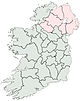
Munster Leinster Ulster Italics denote non-administrative counties. Brackets denote eponymous cities or non-traditional counties. † denotes counties of Northern IrelandPlaces in County Leitrim Towns 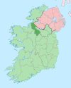
Villages and
Townlands- Aghamore
- Ballinaglera
- Bornacoola
- Buckode
- Carrigallen
- Cloone
- Dowra
- Drumcong
- Dromahair
- Drumkeeran
- Drumsna
- Dromod
- Eslinbridge
- Fenagh
- Fivemilebourne
- Garadice
- Glenfarne
- Jamestown
- Keshcarrigan
- Kinlough
- Kiltyclogher
- Killargue
- Largydonnell
- Leitrim
- Lurganboy
- Newtowngore
- Rossinver
- Roosky
- Tarmon
- Tullaghan
- Tully
- List of townlands in County Leitrim
- Category:Mountains and hills of County Leitrim
- Category:Rivers of County Leitrim
- Category:Geography of County Leitrim
Categories:- County Leitrim
- Connacht
- Counties of the Republic of Ireland
- Local administrative units of the Republic of Ireland


Wikimedia Foundation. 2010.