- Sappada
-
Sappada — Comune — Comune di Sappada  Location of Sappada in Italy
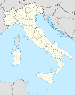
 Sappada
Coordinates: 46°34′N 12°41′E / 46.567°N 12.683°ECoordinates: 46°34′N 12°41′E / 46.567°N 12.683°E Country Italy Region Veneto Province Belluno (BL) Government - Mayor Gianluca Piller Roner Area - Total 62.6 km2 (24.2 sq mi) Elevation 1,250 m (4,101 ft) Population (2007) - Total 1,333 - Density 21.3/km2 (55.2/sq mi) Demonym Sappadini Time zone CET (UTC+1) - Summer (DST) CEST (UTC+2) Postal code 32047 Dialing code 0435 Patron saint St. Margaret Saint day July 20 Website Official website Sappada (Cimbrian: Plodn, German: Pladen) is a comune (municipality) in the Province of Belluno in the Italian region Veneto, located about 130 km north of Venice and about 60 km northeast of Belluno. As of 31 December 2004, it had a population of 1,339 and an area of 62.6 km².[1]
Although Sappada is currently part of the Veneto region, it was historically part of Friuli. In 2010, the municipality has formally asked to become part of Friuli Venezia Giulia.[2] According to the Italian constitution, municipalities bordering on autonomous regions have the right to ask for the incorporation into the neighboring region. The municipal council of Sappada took advantage of this possibility and ask the Friuli Venezia Giulia region to join it. In September 2010, the Regional Council of Friuli Venezia Giulia accepted the municipality's demand.[3]
Sappada borders the following municipalities: Forni Avoltri, Prato Carnico, Santo Stefano di Cadore, Vigo di Cadore.
Demographic evolution

References
- ^ All demographics and other statistics: Italian statistical institute Istat.
- ^ http://www.udc-fvg.it/Mozioni/100607_MOZIONE_SAPPADA.pdf
- ^ http://www.ilgazzettino.it/articolo.php?id=127799&sez=NORDEST
External links
Categories:- Cities and towns in Veneto
- Communes of the Province of Belluno
- Veneto geography stubs


Wikimedia Foundation. 2010.