- Marina Bay, Richmond, California
-
For other places with the same name, see Marina Bay (disambiguation).
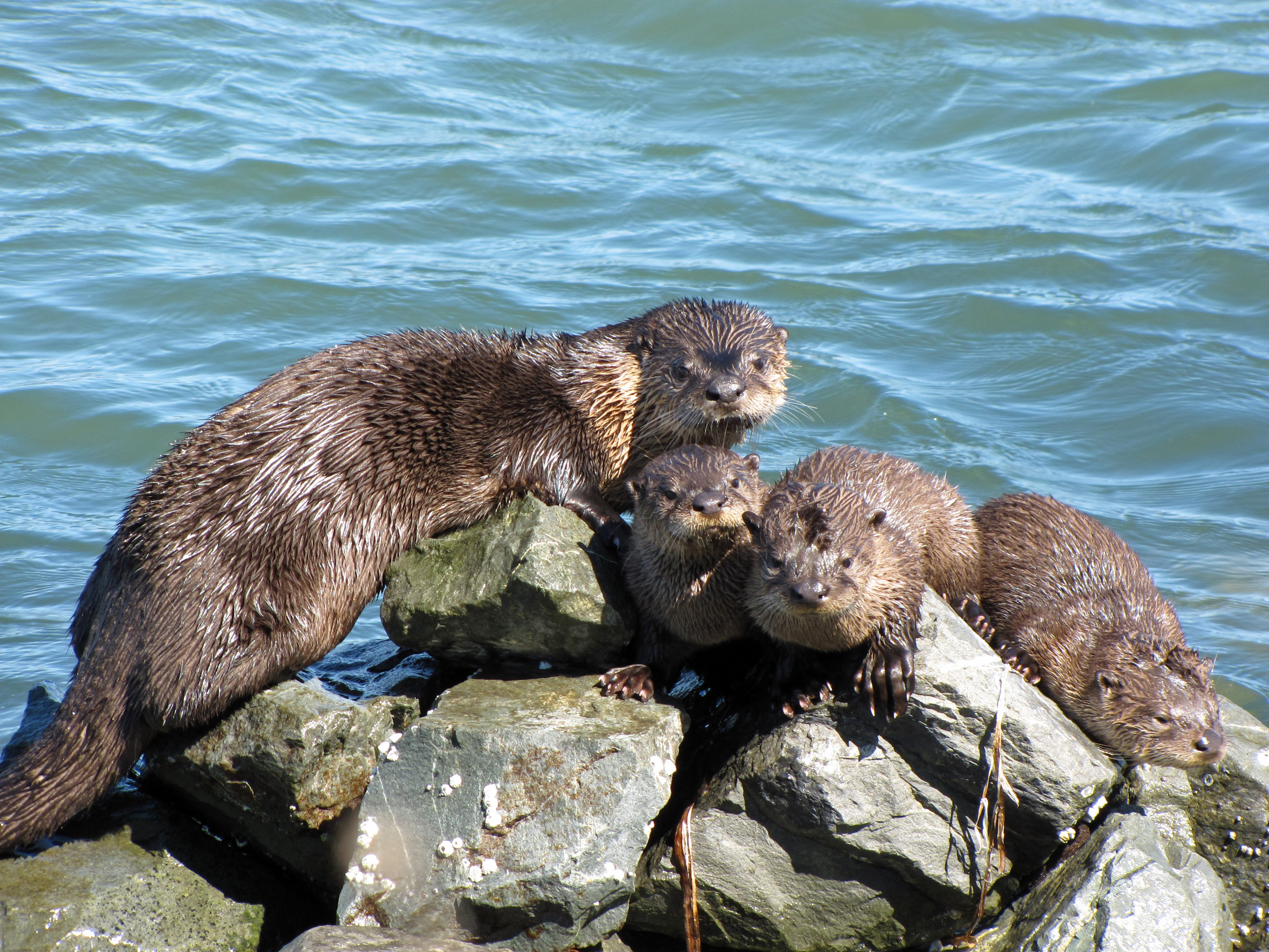
Marina Bay — Neighborhood of Richmond — Otters on the riprap at the Richmond Marina in Marina Bay
Coordinates: 37°54′46″N 122°20′47″W / 37.912824°N 122.346475°W Government - Mayor Gayle McLaughlin (G) - Senate Mark DeSaulnier (D)
Loni Hancock (D)- Assembly Nancy Skinner (D) - U. S. Congress George Miller (D) Area[1] - Total 1.4 km2 (0.551 sq mi) - Land 1.4 km2 (0.551 sq mi) Population (2008)[1] - Total 3,034 - Density 2,126.7/km2 (5,508/sq mi) ZIP Code 94804 Area code(s) 510 BART Stations Richmond, El Cerrito AC Transit Bus routes 74 Website http://www.ci.richmond.ca.us/ Coordinates: 37°54′46″N 122°20′47″W / 37.912824°N 122.346475°W
 "D Dock", one of four docking sections in Richmond Marina Bay Yacht Harbor
 Rosie the Riveter monument in Marina Bay
Marina Bay is located in Richmond's protected Inner Harbor. It was developed in the mid 1980s in an effort to clean up what had been up to that point the defunct WWII-era Kaiser Shipyards. The has been planned as an upper-scale residential waterfront community with apartments, condominiums, townhouses, and houses. The area is also home to many retail and light industry businesses. The city considers it one of its success stories and uses it as an example for other projects throughout the area.
In 2008 construction the ground was broken on two new residential developments. In addition a new waterfront in the northwest area of the bay is planned upon their completion.
Contents
Yacht Harbor
The area hosts an 850-berth Marina which can be inferred from the area's name. The berths are divided into four sections: D-Dock, E-Dock, F-Dock & G-Dock. A launch ramp is available in the northwest corner of the marina. Marina Bay Yacht Harbor
Yacht Club
On the northeast corner of the bay is one of the few yacht clubs in the East Bay that offer monthly memberships and sailing lessons. Trade Winds Sailing Club
San Francisco Bay Trail
The San Francisco Bay Trail runs though the neighborhood from Point Isabel and currently ends here, although it is planned to be connected to Point Richmond and also downtown to the Richmond Greenway.
Rosie the Riveter monument
Dedicated on October 14, 2000, the area hosts the Rosie the Riveter/World War II Home Front National Historical Park to honor the contributions of the American women labor force during World War II. The area the monument stands in was once known as Kaiser Shipyard #2 where women worked alongside men to construct military transport and cargo ships. The monument is a straight pathway containing inscriptions and photographs depicting that era. The length of the path is approximately the length of a Liberty Ship's keel and contains three sculptures to abstractly represent the ship's bow, steam stack, and stern.[2]
Craneway Pavillon
The former Ford Motor Company Assembly Plant has been transformed into a mixed-use complex that houses light-industry, a restaurant/bar, and a popular event venue. [2]
Sister city monument
Shimada Friendship park is a monument to Shimada, Japan which is one of Richmond's sister cities.
 Marina Bay's Shimada Friendship Park provides a panoramic view from its northern location in San Francisco Bay. Prominent landmarks (left to right) include the Berkeley Hills, downtown Oakland, the Port of Oakland, the Bay Bridge, Yerba Buena Island, San Francisco, and Brooks Island.
Notes
- ^ a b [1]
- ^ "Rosie the Riveter". The Rosie the Riveter Trust. http://www.rosietheriveter.org/memdes.htm. Retrieved 2007-10-25.
External links
- City of Richmond
- Marina Bay Neighborhood Council
- Rosie the Riveter
- Trails for Richmond Action Committee (TRAC)
Categories:- Richmond, California
- Neighborhoods in Richmond, California


Wikimedia Foundation. 2010.