- Nevada State Route 447
-
State Route 447


Major roads in northern Nevada with SR 447 in redRoute information Maintained by Nevada DOT Length: 74.645 mi[1] (120.129 km) Major junctions South end:  SR 427 in Wadsworth
 SR 446 near Nixon
North end:  CR 447 in Gerlach
Highway system ← SR 446SR 487  →
→State Route 447 (SR 447) is a state highway in the U.S. state of Nevada. The highway is almost entirely within Washoe County but does for a brief time enter Pershing County, Nevada[2]
The highway begins at a junction with SR 427, a historical routing of US 40, in Wadsworth, Nevada. The highway ends in Gerlach, Nevada. Though passing through extremely remote and desolate areas of Nevada the highway has recently gained fame as the primary route to access the Black Rock Desert, the site of the annual Burning Man festival. A 4.5-mile (7.2 km) portion of this highway, along with portions of SR 445 and SR 446, has been designated the Pyramid Lake Scenic Byway.[3]
Ten solar energy arrays, totaling 451 kilowatts, have been installed along Nevada 447 with the help of Burning Man-related not-for-profit Black Rock Solar and Nevada's "Solar Generations" rebate program. Nevada Governor Jim Gibbons issued an August 18, 2010 proclamation declaring the road "to be America's Solar Highway" [4]
Contents
Route description
 SR 447 leaving Winnemucca Lake northbound toward Empire
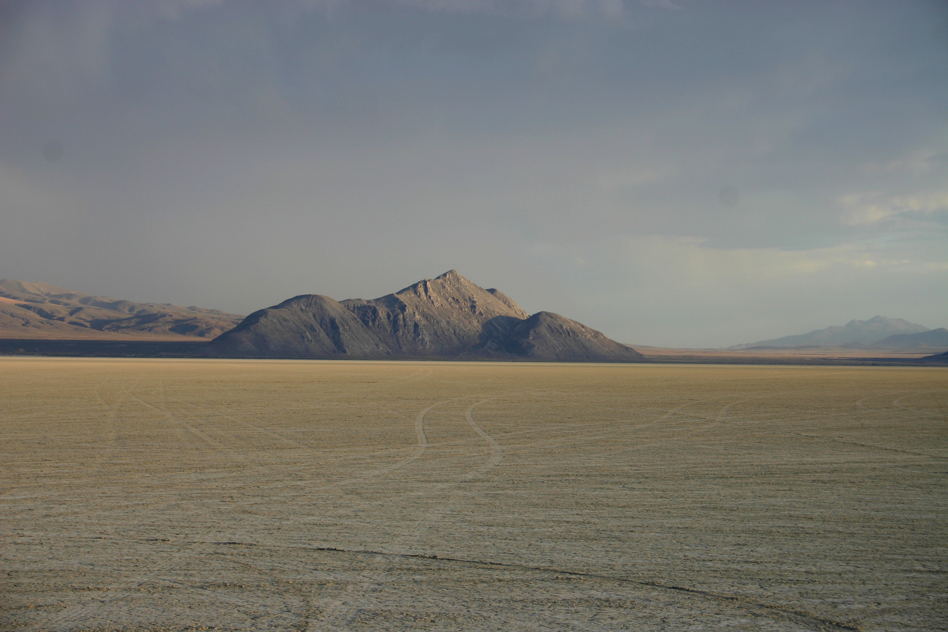
 SR 447 between Wadsworth and Pyramid Lake
The route begins at a junction with Old US 40 in Wadsworth. The highway proceeds north following the path of the Truckee River, and passes along the east side of the river's terminus at Pyramid Lake near Nixon. The highway continues north following the western edge of Winnemucca Lake, a dry lake that once also was the terminus of the Truckee river. During this portion the highway straddles the Washoe/Pershing County line.[2]
The highway enters the Black Rock Desert just before arriving at Empire, a city founded on processing gypsum extracted from the desert. The highway ends 0.375 miles (0.60 km) north of crossing the Union Pacific Railroad's Feather River Route in Gerlach.
Just past where the official designation ends is the turn off for former State Route 34, which is used to access the large Playa of the Black Rock Desert and the site of the annual Burning Man Festival.
County Route 447
The State highway officially ends here, becoming CR 447 where the roadbed continues as a Washoe county road [5] [6] to the California State Line near the Lassen/Modoc county line. This road is frequently called the Gerlach-Cederville Road. Some maps erroneously list this road as part of State Route 447.[2]
History
The present day highway before 1978 was formed from part of SR 34 from Gerlach to Wadsworth, and former SR 81 from Gerlach to the State line which today is present CR 447[1][7]
Major intersections
 The shield for CR 34 is a circle
This major intersections table lists junctions for both State Route 447 and Washoe County Route 447. All junctions are located in Washoe County.
Location Mile
[2][8]Junction Notes Wadsworth 0.00 SR 427 – FernleyNixon SR 446 – Sutcliffe, Pyramid Lake State ParkGerlach 74.64 SR 447 ends and CR 447 begins 75  CR 34[5] – Vya
Former SR 34 130 Surprise Valley Rd – Eagleville, Cederville California state line References
- ^ a b Nevada Department of Transportation (January 2008). "Nevada State Maintained Highways: Descriptions, Index and Maps". http://www.nevadadot.com/reports_pubs/State_Maintained/. Retrieved 2009-09-10.
- ^ a b c d Benchmark Maps (2003). Nevada Road and Recreation Atlas (Map). 1:250000. p. 38,46. ISBN 0-929591-81-X. http://www.benchmark.com.
- ^ "Nevada Scenic Byways". Nevada Department of Transportation. http://www.nevadadot.com/pub_involvement/scenicbyways/. Retrieved 2008-01-11.
- ^ "A Proclamation by the Governor". http://www.blackrocksolar.org/news/447solarhighway/. Retrieved 2010-09-13.
- ^ a b "Department of Public Works Budget Presentation FY 2008‐2009 - page 14". http://www.co.washoe.nv.us/repository/files/33/08presentation_public_works.pdf. Retrieved 2009-08-29.
- ^ "WASHOE COUNTY ROADS DEPARTMENT -- AREA DESCRIPTIONS". Washoe County, Nevada. http://www.co.washoe.nv.us/pubworks/area_descriptions.htm. Retrieved 2008-02-03.
- ^ Nevada Department of Highways, Official Highway Map of Nevada, 1978-79
- ^ Nevada Department of Transportation (May 2008). "Maps of Milepost Location on Nevada's Federal and State Highway System by County". http://www.nevadadot.com/traveler/maps/StateMaps/pdfs/MilepostBook2008.pdf. Retrieved 2009-09-10.
Black Rock Desert Region Geography Antelope Range · Badger Mtns · Black Rock Range · Calico Mtns · Division Range · Fox Range · Gerlach and Empire · Granite Range · Hannan Range · High Rock Canyon Hills · Hog Ranch Mtns · Jackson Mtns · Kamma Mtns · Kings River · Lake Lahontan · Little High Rock Mtns · Massacre Range · Montana Mtns · Pine Forest Range · Poker Brown Mtns · Quinn River · Santa Rosa Range · Selenite Range · Sentinel Hills · Seven Troughs Range · Sheephead Mtns · Smoke Creek Desert · Smoke Creek Mtns · Yellow Hills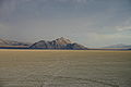
History/Records Protected areas Black Rock – High Rock NCA · Black Rock Desert Wilderness · Calico Mountains Wilderness · East Fork High Rock Canyon Wilderness · High Rock Canyon Wilderness · High Rock Lake Wilderness · Little High Rock Canyon Wilderness · North Black Rock Range Wilderness · North Jackson Mountains Wilderness · Pahute Peak Wilderness · South Jackson Mountains WildernessTransportation Uses/Activities Categories:- State highways in Nevada
- Transportation in Washoe County, Nevada
- Nevada Scenic Byways


Wikimedia Foundation. 2010.