- Escambray Mountains
Location map |Cuba1
lat = 22
long = -80.11
position = none
width = 300
Alternative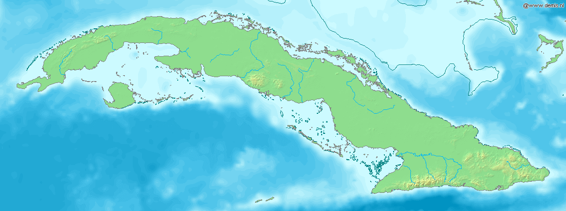
caption= Location of Escambray Mountains inCuba The Escambray Mountains ( _es. Sierra del Escambray) are a mountain range in the central region of
Cuba , in the provinces of Sancti Spíritus, Cienfuegos and Villa Clara.The Escambray Mountains are located in the south-central region of the island, extending about km to mi|80 from east to west, and km to mi|80 from north to south. Their highest peak,
Pico San Juan , rises to m to ft|960|abbr=yes|precision=0 above sea level. The Escambray range is divided into two sections by theAgabama River . The western part is called theGuamuhaya Mountains , and the eastern part, raising between Trinidad andSancti Spiritus , is best known asSierra de Sancti Spiritus . After Pico San Juan, the highest points areCaballete de Casas , Gavilanes,Loma de Banao ,Caja de Agua , andPico Tuerto .Topes de Collantes is a nature reserve park established in the south-eastern ranges of Escambray Mountains, protecting and showcasing caves, rivers, waterfalls, and canyons. TheValley de los Ingenios is developed at the south-eastern foot of the mountains, and is aUNESCO World Heritage Site .The mountains were the theater of the
War Against the Bandits in 1960-1962. It was also a planned refuge during theBay of Pigs Invasion , however, it was never used as such.Gallery
ee also
*
Geography of Cuba ----
Wikimedia Foundation. 2010.