- Manadon
-
Coordinates: 50°24′50″N 4°08′12″W / 50.41389°N 4.136667°W
Manadon 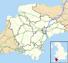
 Manadon
Manadon shown within DevonDistrict Plymouth Shire county Devon Region South West Country England Sovereign state United Kingdom Post town PLYMOUTH Postcode district PL5 3xx Dialling code 01752 Police Devon and Cornwall Fire Devon and Somerset Ambulance South Western EU Parliament South West England List of places: UK • England • Devon Manadon is an area in Plymouth, England. It has two primary schools, St Boniface's Catholic College (secondary comprehensive), and is home to the Manadon interchange, on the A38 road.
Manadon Park, a development of varying housing types is built on the former site of the RNEC Manadon (HMS Thunderer), the Royal Navy's former Engineering College. The park retains Manadon House, the old Manor House and former chapel from its naval service.
Categories:- Suburbs of Plymouth
- Devon geography stubs

Wikimedia Foundation. 2010.