raster graphics — ▪ computer science also called bit map graphics a type of digital image that uses tiny rectangular pixels, or picture elements, arranged in a grid formation to represent an image. Because the format can support a wide range of colours and … Universalium
Graphic art software — [Bob Gordon, Maggie Gordon The Complete Guide to Digital Graphic Design , 15 March 2002 pp:44] is a subclass of application software used for graphic design, multimedia development, specialized image development, general image editing, or simply… … Wikipedia
Graphic design — Graphic symbols are often functionalist and anonymous,[1] as these pictographs from the US National Park Service illustrate. Graphic design is a creative process – most often involving a client and a designer and usually completed in conjunction… … Wikipedia
Digital compositing — is the process of digitally assembling multiple images to make a final image, typically for print, motion pictures or screen display. It is the evolution into the digital realm of optical film compositing. Contents 1 Mathematics 1.1 Algebraic… … Wikipedia
Digital illustration — Arambilet: Sutil/Subtle Museum of Modern Art(MAM)Dominican Republic, 2006 … Wikipedia
Digital art — Irrationnal Geometrics digital art installation 2008 by Pascal Dombis A close up of th … Wikipedia
Comparison of raster graphics editors — This is a comparison of raster graphics editors sorted by availability. Contents 1 List 2 General information 3 Operating system support 4 Features … Wikipedia
Wikipedia:Graphic Lab/Resources/Creating shaded relief (GRASS, 3DEM) — See also: Wikipedia:Graphic Lab/Resources/Optimizing shaded relief using GIMP (old) The object of this tutorial is to create (composite) relief shadows resulting from a digital elevation model (DEM) created using the programs 3DEM or GRASS GIS.… … Wikipedia
Geographic information system — GIS redirects here. For other uses, see GIS (disambiguation). A geographic information system, geographical information science, or geospatial information studies is a system designed to capture, store, manipulate, analyze, manage, and present… … Wikipedia
Map — For other uses, see Map (disambiguation). A map is a visual representation of an area a symbolic depiction highlighting relationships between elements of that space such as objects, regions, and themes. Many maps are static two dimensional,… … Wikipedia
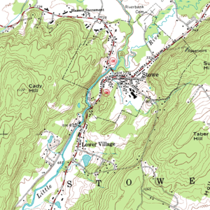 A small portion of a USGS DRG
