- Douglas County, Colorado
-
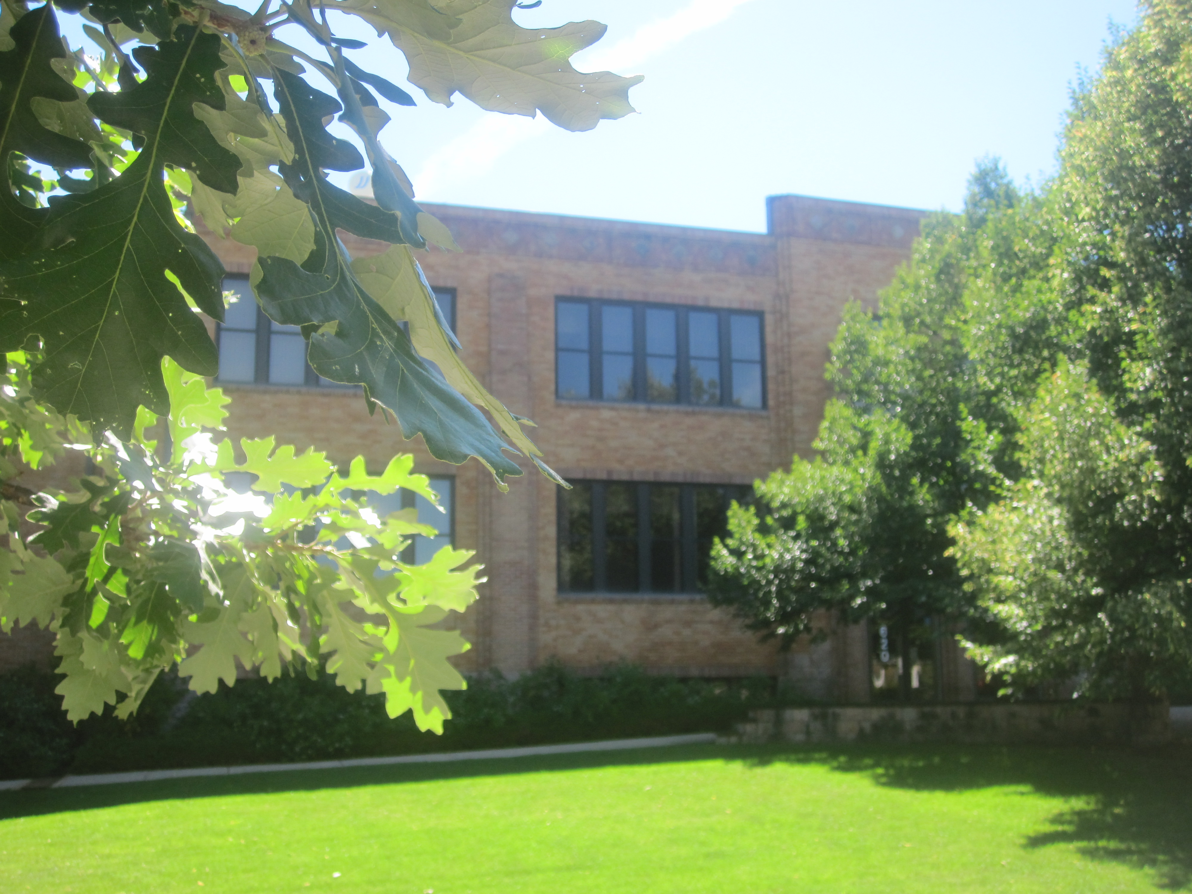
Douglas County, Colorado 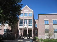 One of two county buildings for Douglas County in Castle Rock
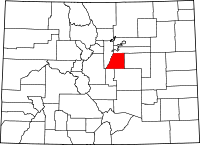
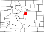
Location in the state of Colorado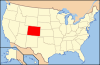
Colorado's location in the U.S.Founded November 1, 1861 Named for Stephen A. Douglas Seat Castle Rock Largest CDP Highlands Ranch Area
- Total
- Land
- Water
842.75 sq mi (2,183 km²)
840.11 sq mi (2,176 km²)
2.64 sq mi (7 km²), 0.31%Population
- (2010)
- Density
285,465
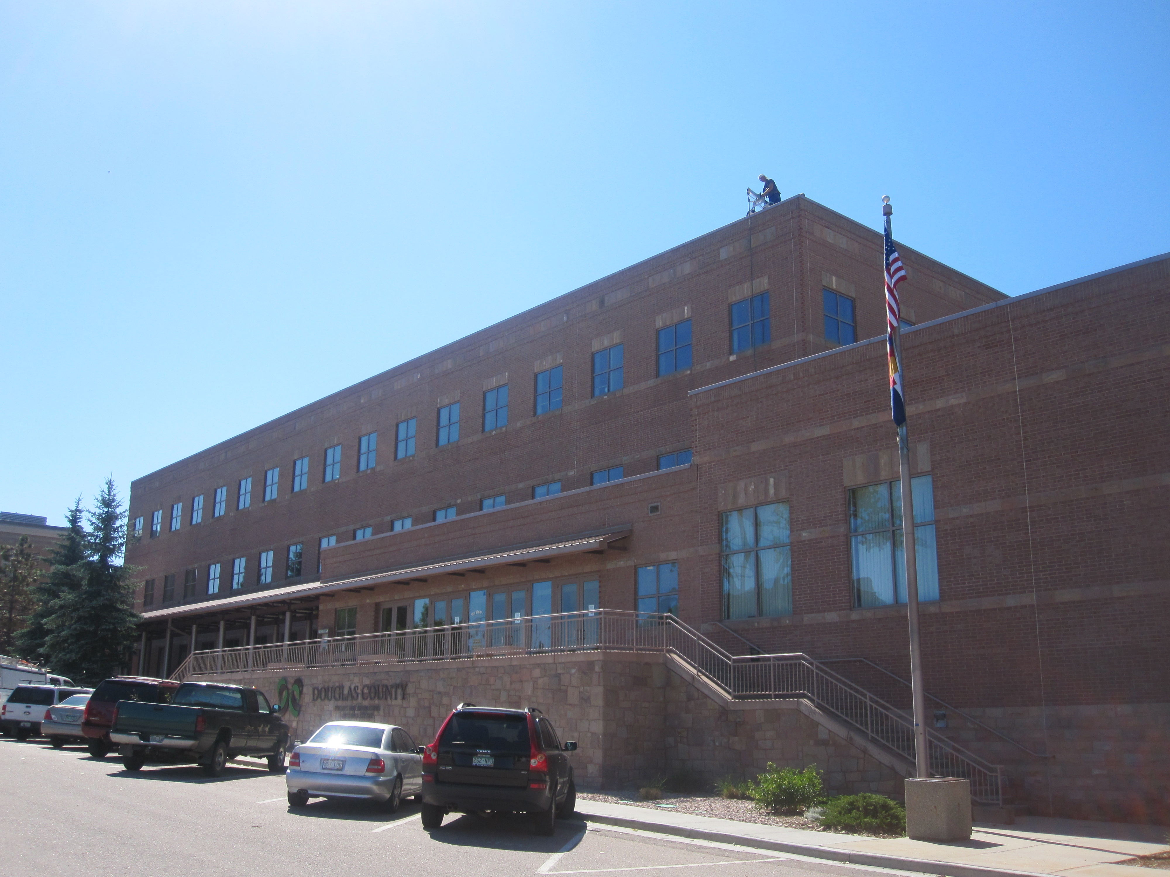
209/sq mi (81/km²)Time zone Mountain: UTC-7/-6 Website www.douglas.co.us Footnotes: Eighth most populous Colorado county  Second Douglas County office building in Castle Rock
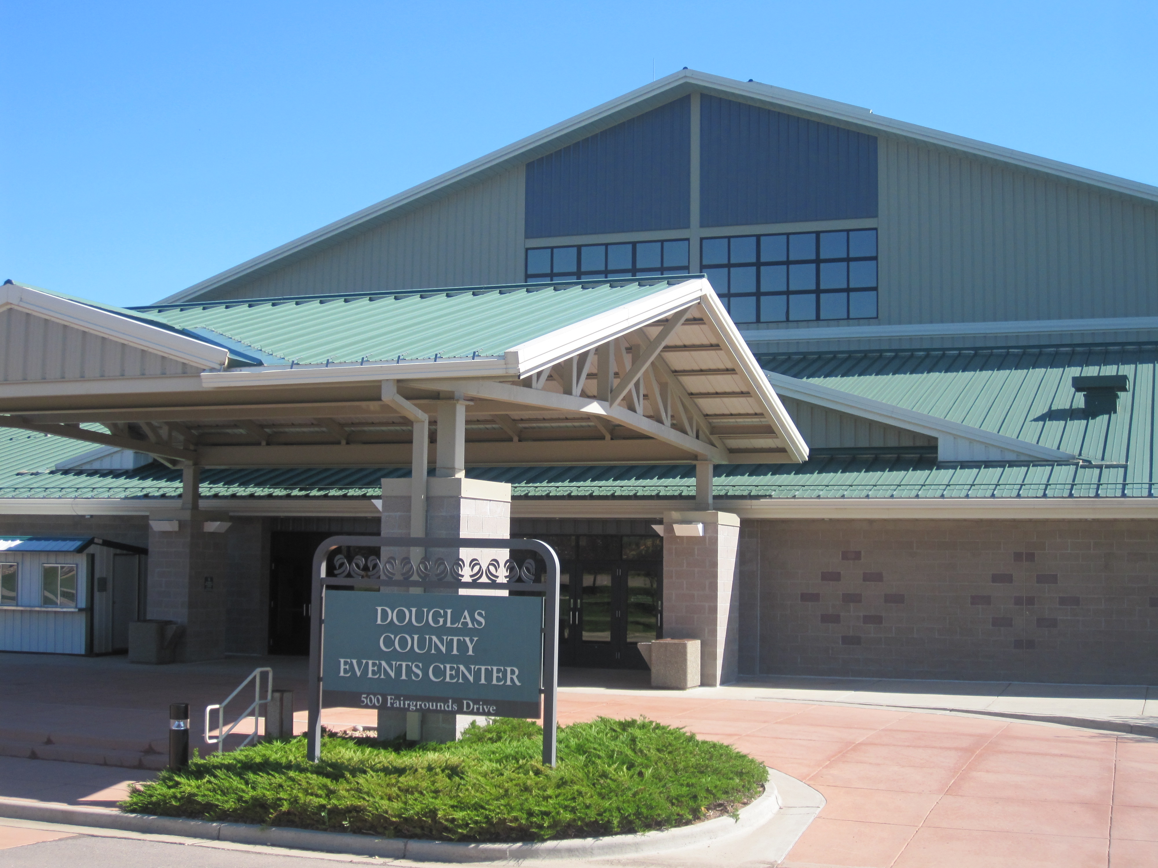
 Douglas County Events Center and Fairgrounds in Castle Rock
 Douglas County School District office in Castle Rock
Douglas County is the eighth most populous of the 64 counties of the state of Colorado, in the United States. The county is located midway between Colorado's two largest cities: Denver and Colorado Springs. The United States Census Bureau that the county population was 285,465 in 2010 census, a 62.4% increase since the 2000 census, making Douglas County one of the fastest growing counties in the United States.[1] Douglas County is part of the Denver-Aurora Metropolitan Statistical Area and the Denver-Aurora-Boulder Combined Statistical Area. The county seat is Castle Rock, named after a prominent castle tower-shaped butte just north of the town.
Douglas County is lightly wooded, mostly with ponderosa pine, with broken terrain characterized by mesas and small streams. Cherry Creek and Plum Creek rise in Douglas County and flow north toward Denver and into the South Platte River. Both were subject to flash flooding in the past, Plum Creek being partially responsible for the Denver flood of 1965. Cherry Creek is now dammed.
Most residents commute to workplaces elsewhere in the metropolitan area outside of the county. Suburban development is displacing the ranching economy of the county.
Contents
History
 The "rock" of Castle Rock, Colorado
Douglas County was one of the original 17 counties created in the Colorado Territory by the Colorado Territorial Legislature on November 1, 1861. The county was named in honor of U.S. Senator Stephen A. Douglas of Illinois, who died five months before the county was created. The county seat was originally Franktown, but was moved to California Ranch in 1863, and then to Castle Rock in 1874. Although the county's boundaries originally extended eastward to the Kansas state border, in 1874 most of the eastern portion of the county became part of Elbert County.
Geography
According to the 2000 census, the county has a total area of 842.75 square miles (2,182.7 km2), of which 840.11 square miles (2,175.9 km2) (or 99.69%) is land and 2.64 square miles (6.8 km2) (or 0.31%) is water.[2]
Adjacent Counties
- Jefferson County, Colorado - west
- Arapahoe County, Colorado - north
- Elbert County, Colorado - east
- El Paso County, Colorado - southeast
- Teller County, Colorado - south
Douglas County has a comprehensive library system with a large local history section, the Douglas County History Research Center, at http://www.douglascountyhistory.org
Cities and towns
- Aurora (partially)
- Castle Pines North
- Castle Rock
- Larkspur
- Littleton (partially)
- Lone Tree
- Parker
Census-designated places
- Acres Green
- Carriage Club
- Castle Pines (includes most of Castle Pines North)
- Cottonwood
- Franktown
- Grand View Estates
- Heritage Hills
- Highlands Ranch
- Louviers
- Meridian
- Perry Park
- Roxborough Park
- Sedalia
- Stonegate
- The Pinery
- Westcreek
Other places
proposed new community
- Sterling Ranch, Colorado[3]
Parks and recreational areas
Three state parks fall within Douglas County, Castlewood Canyon State Park, Chatfield State Park and Roxborough State Park. Parts of the county lie within the Pike National Forest and were crossed by the historic South Platte Trail.
Recreation trails in the county include:
- American Discovery Trail
- Colorado Trail
- Devils Head National Recreation Trail
- Highline Canal National Recreation Trail
- Platte River Greenway National Recreation Trail
- Ridgeline Open Space Trail
Recognition
Douglas County has been recognized by a number of national periodicals:
- Money magazine ranked Douglas County No. 5 in the United States for “Job Growth over the Last Eight Years”. (Towns include Castle Rock, Parker, Stonegate, Lone Tree, and Highlands Ranch), 18 August 2009 [4]
- American City Business Journals (ACBJ) ranked Douglas County No. 4 in the nation for “Quality of Life,” May 2004 [5]
- SchoolDigger.com ranked Douglas County School District No.1 in the Denver Metropolitan Area and No.12 in Colorado based on 2009 test scores. (School district rankings were determined by averaging the rankings of individual schools within each of the 122 districts evaluated). Source: National Center for Education Statistics, U.S. Dept of Education, and Colorado Department of Education.[6]
Demographics
Historical populations Census Pop. %± 1870 1,388 — 1880 2,486 79.1% 1890 3,006 20.9% 1900 3,120 3.8% 1910 3,192 2.3% 1920 3,517 10.2% 1930 3,498 −0.5% 1940 3,496 −0.1% 1950 3,507 0.3% 1960 4,816 37.3% 1970 8,407 74.6% 1980 25,153 199.2% 1990 60,391 140.1% 2000 175,766 191.0% 2010 285,465 62.4% U.S. Decennial Census As of the census[7] of 2000, there were 175,766 people, 60,924 households, and 49,835 families residing in the county. The population density was 209 people per square mile (81/km²). There were 63,333 housing units at an average density of 75 per square mile (29/km²). The racial makeup of the county was 92.77% White, 0.95% Black or African American, 0.41% Native American, 2.51% Asian, 0.06% Pacific Islander, 1.43% from other races, and 1.88% from two or more races. 5.06% of the population were Hispanic or Latino of any race.
There were 60,924 households out of which 47.2% had children under the age of 18 living with them, 73.8% were married couples living together, 5.7% had a female householder with no husband present, and 18.2% were non-families. 13.3% of all households were made up of individuals and 1.9% had someone living alone who was 65 years of age or older. The average household size was 2.88 and the average family size was 3.19.
In the county the population was spread out with 31.6% under the age of 18, 4.8% from 18 to 24, 37.9% from 25 to 44, 21.6% from 45 to 64, and 4.2% who were 65 years of age or older. The median age was 34 years. For every 100 females there were 99.7 males. For every 100 females age 18 and over, there were 97.4 males.
The median income for a household in the county was $82,929, and the median income for a family was $88,482 (these figures had risen to $93,819 and $102,767 respectively as of a 2007 estimate[8]). Males had a median income of $60,729 versus $38,965 for females. The per capita income for the county was $34,848. About 1.6% of families and 2.1% of the population were below the poverty line, including 1.9% of those under age 18 and 3.7% of those age 65 or over.
Douglas County had the highest median household income of any Colorado county or statistical equivalent in 2000. In 2008, it ranked #8 in the United States in that category - it was one of two in the top 15 not in the vicinity of New York or Washington.
Education
Douglas County is served by Douglas County School District RE-1, the third-largest school district in Colorado. In addition to traditional neighborhood schools, the district includes six charter schools, four option schools and an online school . Schools are rated generally high in the area.
The University Center at Chaparral in Parker offers courses through Arapahoe Community College, University of Colorado Denver, University College of the University of Denver, and the Douglas County School District. The University of Phoenix has a campus in Lone Tree.
Economy
Top employers
According to the County's 2010 Comprehensive Annual Financial Report,[9] the top employers in the county are:
# Employer # of Employees 1 Douglas County School District RE-1 6,245 2 EchoStar 1,840 3 CH2M HILL 1,600 4 tw telecom 1,100 5 Western Union 1,090 6 Douglas County 1,061 7 HealthONE: Sky Ridge Medical Center 1,030 8 Centura Health: Parker Adventist Hospitals 840 9 Liberty Media 730 10 IHS 700 See also
- Colorado census statistical areas
- Colorado counties
- Colorado metropolitan areas
- Colorado municipalities
- Denver-Aurora Metropolitan Statistical Area
- Denver-Aurora-Boulder Combined Statistical Area
- Front Range Urban Corridor
- National Register of Historic Places listings in Douglas County, Colorado
References
- ^ "Annual County Population Estimates and Estimated Components of Change: April 1, 2000 to April 1, 2010 (CO-EST2010-alldata)" (CSV). 2010 Population Census. United States Census Bureau, Population Division. 2007-03-22. http://quickfacts.census.gov/qfd/states/08/08035.html. Retrieved 2011-08-09.
- ^ "Census 2000 U.S. Gazetteer Files: Counties". United States Census. http://www.census.gov/tiger/tms/gazetteer/county2k.txt. Retrieved 2011-02-13.
- ^ ranch
- ^ "Best Places to Live 2009 - Top 25: Fastest job growth - from MONEY Magazine". Money.cnn.com. http://money.cnn.com/magazines/moneymag/bplive/2009/top25s/financial/jobgrowth.html. Retrieved 2010-07-22.
- ^ "Go west for top quality of life". bizjournals. 2004-05-24. http://www.bizjournals.com/edit_special/13.html. Retrieved 2010-07-22.[dead link]
- ^ "Colorado State Districts - CO School District Rankings". Schooldigger.com. http://www.schooldigger.com/go/CO/districtrank.aspx. Retrieved 2010-07-22.
- ^ "American FactFinder". United States Census Bureau. http://factfinder.census.gov. Retrieved 2008-01-31.
- ^ "Douglas County, Colorado - Fact Sheet - American FactFinder". Factfinder.census.gov. http://factfinder.census.gov/servlet/ACSSAFFFacts?_event=Search&geo_id=&_geoContext=&_street=&_county=douglas&_cityTown=douglas&_state=04000US08&_zip=&_lang=en&_sse=on&pctxt=fph&pgsl=010. Retrieved 2010-07-22.
- ^ Douglas County CAFR
External links
- Douglas County website Douglas County Website
- Douglas County School Information Douglas County Schools
- Douglas County Sheriff Department website
- YourHub.com/DouglasCounty
- Colorado Historical Society Colorado Historical Society
- Colorado County Evolution by Don Stanwyck
- Douglas County Library Douglas County Library
- Our Douglas County Colorado News and Events

Arapahoe County Jefferson County 
Elbert County  Douglas County, Colorado

Teller County El Paso County Municipalities and communities of Douglas County, Colorado Cities Aurora‡ | Castle Pines North | Littleton‡ | Lone Tree
Towns CDPs Acres Green | Castle Pines | Franktown | Grand View Estates | Highlands Ranch | Louviers | Meridian | Perry Park | Roxborough Park | Sedalia | Stonegate | The Pinery | Westcreek
Unincorporated
communitiesFootnotes ‡This populated place also has portions in an adjacent county or counties
Categories:- Colorado counties
- Douglas County, Colorado
- 1861 establishments


Wikimedia Foundation. 2010.