- Climate of Azerbaijan
-
The climate of Azerbaijan is unique. Nine of the Earth's eleven climatic zones can be discovered in Azerbaijan.[1]
Contents
Geography
Azerbaijan is situated on the northern extremity of the subtropical zone, in the southeastern part of the Caucasus and the northwestern part of the Iran plateau. The complicated geographical location and landscape, the proximity of the Caspian Sea, the effect of sun's radiation, air masses of different origin, etc., contribute to its climatological diversity.
Landscape
 The Agdam Forest.
As a predominantly mountainous country, Azerbaijan is surrounded by the Major Caucasus, Minor Caucasus, Talysh and North Iranian Mountains. The Kur lowland, between the Major and Minor Caucasus, stretches to the Caspian Sea in the eastern part of the country. The Major Caucasus, situated in the north of the country and stretching from the northwest to the southeast, protects the country from direct influences of northern cold air masses. That leads to the formation of a subtropical climate on most of the foothills and plains of the country. Other mountain chains surrounding the country also impact air circulation. The complexity of the landscape causes nonuniform formation of climatic zones and creates vertical climate zones.
Solar Radiation
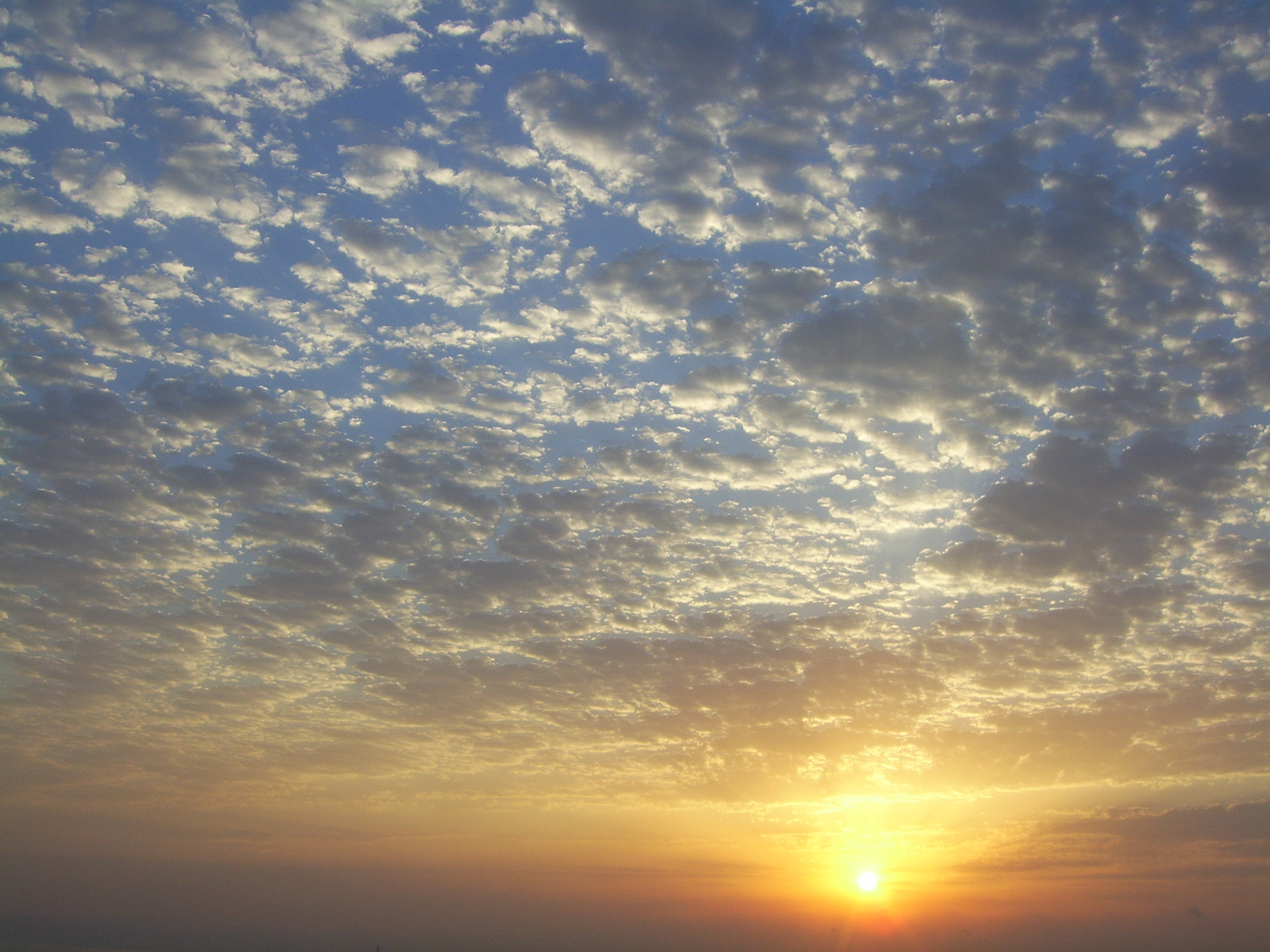
 Sunsets in Azerbaijan are often very colorful.
The Azerbaijani plains and foothills have high insolation rates. The sun shines for 2,200 to 2,400 hours annually on the Kur-Araz lowland, Apsheron peninsula and other plains and foothills, and 2,600 to 2,800 hours on the plains around Araz in the Nakhchivan region. Due to increased cloudiness in the mountainous regions, those areas receive only 1,900 to 2,200 hours of direct sunlight..
Bright sun shines 2,200 to 2,500 hours a year at altitudes over 3,000 meters (9,800 ft). The total annual radiation equals 128–132 kcal/cm2 (118–122 kWh/ft2). Toward the mountains, it declines to 120–124 kcal/cm2 (109–113 kWh/ft2), at an altitude of 500 to 600 meters (1,600 to 2,000 ft) above sea level, then gradually increases and reaches 140–150 kcal/cm2 (129–139 kWh/ft2) at altitudes above 3,000 meters (9,800 ft) in the Major and Minor Caucasuses.
The total amount of solar radiation affecting the Araz plains in Nakhchivan totals 148–150 kcal/cm2 (137–139 kWh/ft2). It increases in the mountains, reaching 152–160 kcal/cm2 (140–148 kWh/ft2). The solar radiation on the country's plains and foothills amounts to 40–50 kcal/cm2 (37–46 kWh/ft2); in Lenkoran, 50–60 kcal/cm2 (46–55 kWh/ft2); in the mountains, 15–25 kcal/cm2 (14–23 kWh/ft2).
Circulation of air masses
Climate formation in Azerbaijan is influenced by various air masses. Cold air masses, such as the Kara and Scandinavian arctic anticyclones, the temperate Siberian anticyclones, and the maritime Azores maximum influence the climate. Likewise, tropical hot air masses (subtropical anticyclone and southern cyclones), as well as Central Asian anticyclones and local weather conditions, have influence. These air masses enter the country in different ways thanks to its varied geography. Thus, although they do not prevent the hot masses entering Azerbaijan from the south, cold continental and maritime air masses cause changes in properties of those hot air masses, and influence the dynamics of atmosphere conditions.
Major aspects
Some of the major influences on Azerbaijan's climate are temperature, precipitation, humidity, rate of evaporation, and cloud cover.
Temperature
The temperature regime and its distribution throughout Azerbaijan is regular, and depends on the features of air masses entering the country, the regional landscape, and proximity to the Caspian Sea. The sea causes temperatures in the maritime areas (20 kilometres or 12 miles away from the sea) to decline in the summer and rise in the winter. At the same time, the sea moderates the influence of hot and dry air masses coming from Central Asia. The average annual temperature is 14–15 °C (57–59 °F) in the Kur-Araz Lowland, the coastal regions south to the Apsheron Peninsula, and in the Lenkoran Lowland. The temperature declines with proximity to the mountains, averaging 4–5 °C (39–41 °F) at an altitude of 2,000 meters (6,600 ft), and 1–2 °C (34–36 °F) at 3,000 meters (9,800 ft).
Climate types
Taking into consideration the distribution and features of the weather, temperature, humidity, and precipitation, nine out of the 11 climate patterns in the Köppen climate classification can be found in Azerbaijan[citation needed]. Many of these patterns are divided into subtypes.
- Semi-desert and dry steppe climates cover the central lowlands in Kur to 400 meters (1,300 ft), the Caspian zone from the end of Samur River to the Gizilagaj gulf, the plains of Nakhchivan along the Araz river, and the valleys of the Talish Mountains below 1,000 meters (3,300 ft). Annual precipitation accounts for 15 to 50 percent of the possible evaporation. Winters are usually warm (though cold on the Araz River plains along, and in the valleys of, the Talish Mountains). Summers are extremely hot, sometimes over 40 °C (104 °F).
- Semi-desert and dry steppe climate with cold winter and dry hot climate.
- A moderate climate with mild, dry winters covers the south hills (below 1,000 metres or 3,300 feet) of the Great Caucasus, the Ganikh-Eyrichay valley between 200 and 500 meters (660 and 1,600 ft), and the north and east hills of the Small Caucasus between 400 and 1,500 meters (1,300 and 4,900 ft). Annual precipitation accounts for 50 to 100 percent of the possible evaporation in this climate zone.
- A moderately hot climate with dry summers covers the Lankaran-Astara region. Annual precipitation accounts for 100 to 150 percent or more of the possible evaporation. Winters are mild, summers are hot and dry, and autumns are rainy. The period of May through August is usually dry, requiring artificial irrigation.
- Cold, dry winters cover the southeast hills of the Great Caucasus between 1,000 and 2,700 meters (3,300 and 8,900 ft), and mountainous regions of the Small Caucasus between 1,400 and 2,700 meters (4,600 and 8,900 ft). Annual precipitation accounts for 75 to 100 percent of the possible evaporation. Summers are cool and winter is mild.
- A cold climate with cool, dry summers covers the middle and high mountains of Nakhchivan AR between 1,000 and 3,000 meters (3,300 and 9,800 ft). Annual precipitation accounts for 50 to 100 percent of possible evaporation. Summers are cool, and winter is cold enough for snow.
- A mildly-hot climate with equal distribution of rainfall covers the mountainous forests in the south between 600 and 1,500 meters (2,000 and 4,900 ft), and the northeast hills of the Great Caucasus between 200 and 500 meters (660 and 1,600 ft).. Annual rainfall accounts for 75 to 100 percent of the possible evaporation in the south hills, and 50 to 100 percent in the northeast hills. Winters are mild, summers warm.
- A cold climate with heavy precipitation year-round occurs in the south hills of the Great Caucasus between 1,500 and 2,700 meters (4,900 and 8,900 ft), which include forest, subalpine, and alpine zones. Annual precipitation accounts for more than 150 to 200 percent of the possible evaporation. Winters are quite cold, summers cool.
- Mountainous tundra covers the areas of Great and Small Caucasus above 2,700 meters (8,900 ft), and Nakhchivan above 3,200 meters (10,500 ft). Annual precipitation accounts for more than 100 to 200 percent of the possible evaporation. Winters and summers are both cold. In some places, the snow does not melt until the following winter.
See also
- Geography of Azerbaijan
- Nature of Azerbaijan
References
Climate of Asia Sovereign
states- Afghanistan
- Armenia
- Azerbaijan
- Bahrain
- Bangladesh
- Bhutan
- Brunei
- Burma (Myanmar)
- Cambodia
- People's Republic of China
- Cyprus
- East Timor (Timor-Leste)
- Egypt
- Georgia
- India
- Indonesia
- Iran
- Iraq
- Israel
- Japan
- Jordan
- Kazakhstan
- North Korea
- South Korea
- Kuwait
- Kyrgyzstan
- Laos
- Lebanon
- Malaysia
- Maldives
- Mongolia
- Nepal
- Oman
- Pakistan
- Philippines
- Qatar
- Russia
- Saudi Arabia
- Singapore
- Sri Lanka
- Syria
- Tajikistan
- Thailand
- Turkey
- Turkmenistan
- United Arab Emirates
- Uzbekistan
- Vietnam
- Yemen
States with limited
recognition- Abkhazia
- Nagorno-Karabakh
- Northern Cyprus
- Palestine
- Republic of China (Taiwan)
- South Ossetia
Dependencies and
other territories- Christmas Island
- Cocos (Keeling) Islands
- Hong Kong
- Macau
Climate of Europe Sovereign
states- Albania
- Andorra
- Armenia
- Austria
- Azerbaijan
- Belarus
- Belgium
- Bosnia and Herzegovina
- Bulgaria
- Croatia
- Cyprus
- Czech Republic
- Denmark
- Estonia
- Finland
- France
- Georgia
- Germany
- Greece
- Hungary
- Iceland
- Ireland
- Italy
- Kazakhstan
- Latvia
- Liechtenstein
- Lithuania
- Luxembourg
- Macedonia
- Malta
- Moldova
- Monaco
- Montenegro
- Netherlands
- Norway
- Poland
- Portugal
- Romania
- Russia
- San Marino
- Serbia
- Slovakia
- Slovenia
- Spain
- Sweden
- Switzerland
- Turkey
- Ukraine
- United Kingdom
- (England
- Northern Ireland
- Scotland
- Wales)
- Vatican City
States with limited
recognition- Abkhazia
- Kosovo
- Nagorno-Karabakh
- Northern Cyprus
- South Ossetia
- Transnistria
Dependencies
and other territoriesOther entities - European Union
- Sovereign Military Order of Malta
Categories:- Climate of Azerbaijan
- Environment of Azerbaijan

Wikimedia Foundation. 2010.