- Dripping Springs Trail
-
Dripping Springs Trail 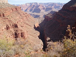
Hermit Canyon Length 2 miles (3.2 km) Location Grand Canyon National Park, Arizona, United States Trailheads Hermit Trail
Eremita Mesa, South RimUse Hiking Elevation Change 1,180 ft (360 m) Highest point Eremita Mesa, 6,420 ft (1,957 m) Lowest point Hermit Trail, 5,240 feet (1,597 m) Trail difficulty Moderate to Strenuous Season Spring through Fall Sights Grand Canyon Hazards Severe Weather
Overexertion
Dehydration
Flash FloodThe Dripping Springs Trail is a hiking trail on the South Rim of the Grand Canyon National Park, located in the U.S. state of Arizona.
Contents
Access
The trail begins along the Hermit Trail after a 1½ mile (2.4 km) hike from Hermit's Rest.
Description
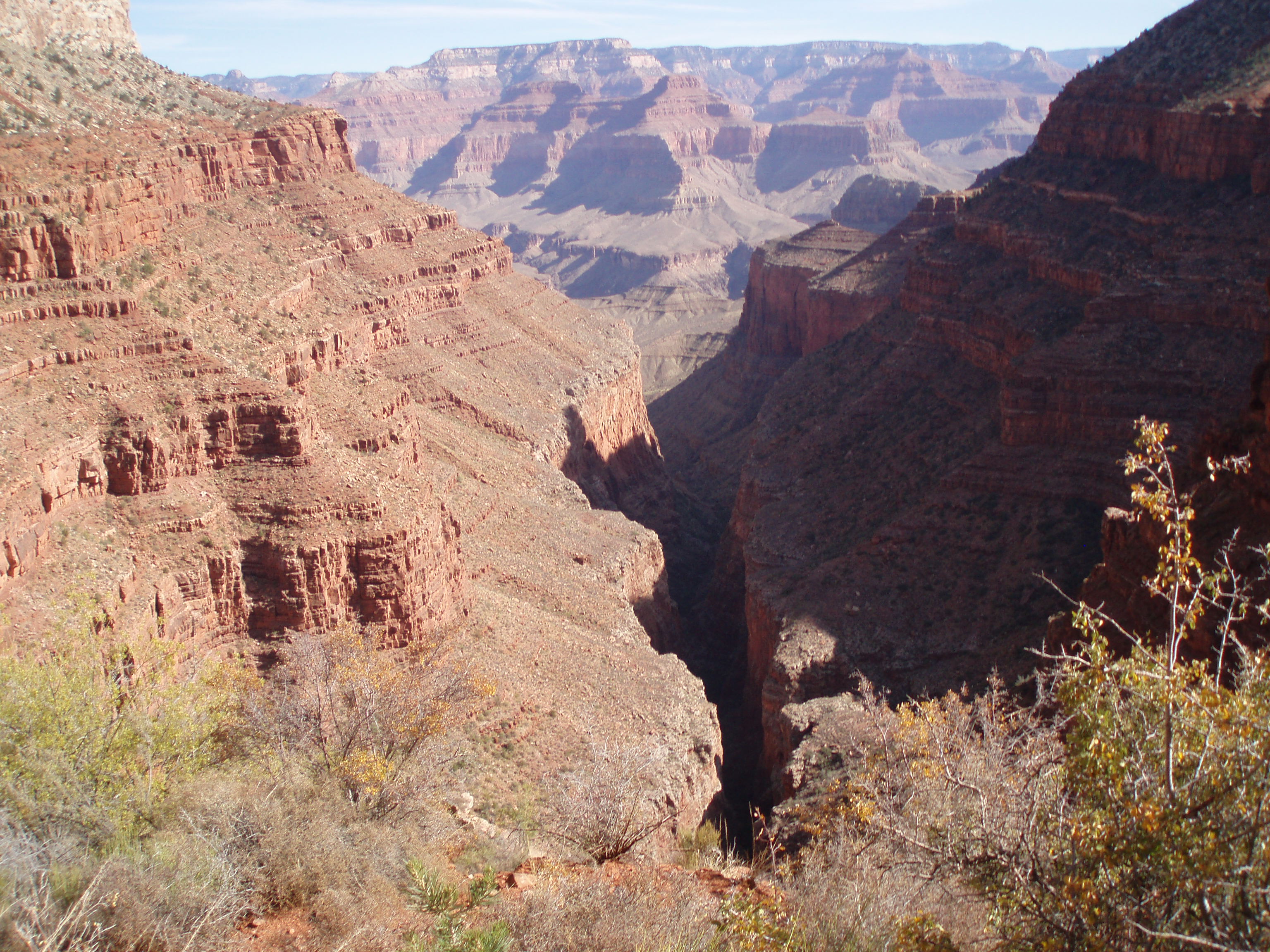
From Hermit Trail, the trail leaves the Hermit Basin and crosses to the western side of Hermit Canyon towards Dripping Springs. After another 1¼ mile (2.0 km) the trail crosses the Dripping Springs drainage and connects to the Boucher Trail, which leads to the north along the eastern side of Hermit Canyon.
The Dripping Springs Trail continues westward from the trail junction for another ½ mile (0.8 km), climbing back out of the Hermit Shale and Coconino Sandstone layers to Dripping Springs, a perennial water source. Water from here needs to be treated, filtered, or boiled prior to consuming. After the springs, the trail continues to the south rim on Eremita Mesa and the trail's western terminus. Eremita Mesa is a remote area of the park and provides no access back to Grand Canyon Village or Hermit's Rest except by unmaintained gravel roads.
See also
- The Grand Canyon
- List of trails in Grand Canyon National Park
References
External links
Coordinates: 36°03′20″N 112°13′25″W / 36.05558°N 112.22357°W
Grand Canyon trails Above-rim Trails: Below-rim Trails: Beamer Trail • Bill Hall Trail • Boucher Trail • Bright Angel Trail • Clear Creek Trail • Deer Creek Trail • Dripping Springs Trail • Escalante Route • Esplanade Route • Grandview Trail • Havasupai Trail • Hermit Trail • Kanab Creek Trail • Lava Falls Trail • Nankoweap Trail • New Hance Trail • North Bass Trail • North Kaibab Trail • Plateau Point Trail • River Trail • Royal Arch Route • South Bass Trail • South Canyon Trail • South Kaibab Trail • Tanner Trail • Thunder River Trail • Tonto Trail • Tuckup Trail • Waldron TrailCategories:- Hiking trails in Grand Canyon National Park
- Arizona geography stubs
- United States trail stubs
Wikimedia Foundation. 2010.