- Chichicastenango
-
Chichicastenango — Municipality — The venerated steps of Santo Tomas Church, Chichicastenango
Nickname(s): Chichi Location in Guatemala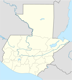
 Chichicastenango
Coordinates: 14°56′N 91°07′W / 14.933°N 91.117°W Country  Guatemala
Department El Quiché Municipality Chichicastenango Government - Type Municipal - Mayor Area - Municipality 400 km2 (154.4 sq mi) Elevation 1,965 m (6,447 ft) Population (Census 2002)[1][2] - Municipality 107,193 - Urban 45,549 - Ethnicities K'iche' people (95%), Ladino (5%) - Religions Roman Catholicism, Evangelicalism, Maya Website http://www.inforpressca.com/chichicastenango/ Chichicastenango, also known as Santo Tomás Chichicastenango, is a town in the El Quiché department of Guatemala, known for its traditional K'iche' Maya culture. The Spanish conquistadors gave the town its name from the Nahuatl name used by their soldiers from Tlaxcala: Tzitzicaztenanco, or City of Nettles. Its original name was Chaviar.
Chichicastenango serves as the municipal seat for the surrounding municipality of the same name.
Chichicastenango is a large indigenous town, lying on the crests of mountaintops at an altitude of 1,965 m (6,447 ft). It is located about 140 km (87 mi) northwest of Guatemala City.
Contents
Market
 Chichicastenango Market
Chichicastenango is well known for its famous market days on Thursdays and Sundays where vendors sell handicrafts, food, flowers, pottery, wooden boxes, condiments, medicinal plants, candles, pom and copal (traditional incense), cal (lime stones for preparing tortillas), grindstones, pigs and chickens, machetes, and other tools. In the central part of the market plaza are small eateries (comedores).
Among the items sold are textiles, particularly the women's blouses. The manufacture of masks, used by dancers in traditional dances, such as the Dance of the Conquest, have also made this city well-known for woodcarving.
Church of Santo Tomás
 Steps of Santo TomásMain article: Iglesia de Santo Tomás
Next to the market is the 400-year old church of Santo Tomás. It is built atop a Pre-Columbian temple platform, and the steps originally leading to a temple of the pre-Hispanic Maya civilization remain venerated. K'iche' Maya priests still use the church for their rituals, burning incense and candles. In special cases, they burn a chicken for the gods. Each of the 18 stairs that lead up to the church stands for one month of the Maya calendar year. Another key element of Chichicastenango is the Cofradia of Pascual Abaj, which is an ancient carved stone venerated nearby and the Maya priests perform several rituals there. Writing on the stone records the doings of a king named Tohil (Fate).[3]
The Chichicastenango Regional Museum lies in its grounds.
In music
At least three songs have been written about the town.
- “Chichicastenango” Xavier Cugat 1937
- "In Chi-Chi Castenango" Edmundo Ros Mambo Jambo: Original Recordings 1941-1950
- "In the Land of The Maya" Lennie Gallant In the Land of The Maya
In addition, the character Rosie from Bye Bye Birdie sings sarcastically of being the toast of Chichicastenango.
Geography
Chichicastenango is composed of the municipal seat and 81 rural communities.[4] Nearby village communities include Paquixic (1.0 nm), Chucam (1.0 nm), Chujupen (1.4 nm), Camanibal (2.2 nm), Chontala (2.2 nm) and Chucojom (1.0 nm).
Gallery
-

Another view of the market
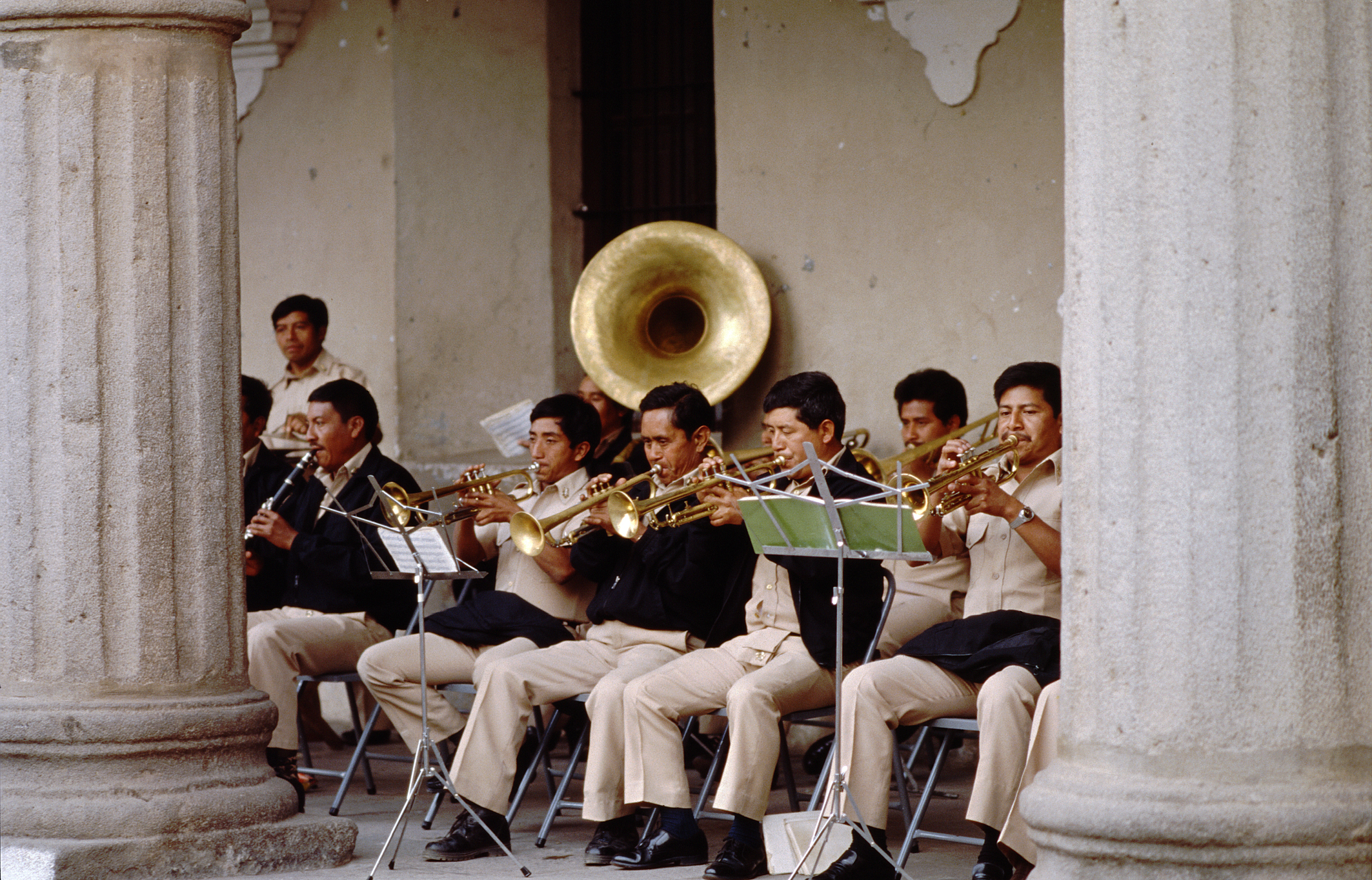
-

Local band
-

Natives
-

Mother buying flowers
-

Indoor produce market
-

A view of the cemetery
References
- ^ "XI Censo Nacional de Poblacion y VI de Habitación (Censo 2002)". Instituto Nacional de Estadística (INE). 2002. http://www.ine.gob.gt/index.php?view=article&catid=42%3Ademografiaypoblacion&id=75%3Acenso2002&option=com_content&Itemid=69.
- ^ "Santo Tomás Chichicastenango - Cultura". Municipalidad de Chichicastenango. http://www.inforpressca.com/chichicastenango/cultura.php. Retrieved 2008.
- ^ Epigraphic Society Occasional Publications, Vol. 17, 1988 A Decipherment of the Chichicastenango Stone (22 pp) John S. Carroll -p 31 [1]
- ^ "Santo Tomás Chichicastenango - Plan de Desarrollo Municipal" (PDF). Municipalidad de Chichicastenango. 2002. http://www.inforpressca.com/chichicastenango/plandesarrollo.pdf. Retrieved 2008.
External links
 Chichicastenango pots
Coordinates: 14°56′N 91°07′W / 14.933°N 91.117°W
Capital: Santa Cruz del Quiché Municipalities · Canillá · Chajul · Chicaman · Chiché · Chichicastenango · Chinique · Cunén · Joyabaj · Nebaj · Sacapulas · Patzité · Pachalum · Playa Grande Ixcán · San Andrés Sajcabajá · San Antonio Ilotenango · San Bartolomé Jocotenango · San Juan Cotzal · San Pedro Jocopilas · Santa Cruz del Quiché · Uspantán · Zacualpa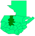 Categories:
- Municipalities of the Quiché Department
- Populated places in Guatemala


Wikimedia Foundation. 2010.