- Otavi
-
Otavi — Town — 
SealNickname(s): otavio Motto: Volhard en Oorwin Location in Namibia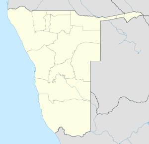
 Otavi
OtaviCoordinates: 19°39′S 17°20′E / 19.65°S 17.333°E Country  Namibia
Region Otjozondjupa Region Constituency Otavi Constituency Population (2001)[1] - Total 3,813 Time zone South African Standard Time (UTC+1) Otavi is a town of 4,000 inhabitants in the Otjozondjupa Region of central Namibia. It is the district capital of the Otavi electoral constituency. Most of the area is dolomitic (Precambrian) and the district was in the past renowned for its mineral wealth. Most of the deposits have now been exhausted.
Contents
Otavi Triangle
The towns of Otavi, Tsumeb (to the north) and Grootfontein (to the northeast) define an area known as the "Otavi Triangle", also known as the Otavi Mountainland. This geographical region is sometimes referred to as the "Golden Triangle", or as the "mahangu Triangle", owing to the cultivation of mahangu in the area.[2] The three towns that define the triangle are roughly 60 km from each other.
History
On July 1, 1915, the German Army was defeated at Otavi by South African troops; on June 9 they surrendered nearby and signed the Khorab Peace Treaty. There is a memorial to this event a few miles outside of Otavi.
Economy
Much of the town's economy relies on the two grocery stores, a mill, 2 banks, two gas stations, and many surrounding game/cattle farms, as well as a handful of other small business. The owners of most of these businesses are Afrikaners (white Africans of Boer, ultimately Dutch, heritage) or Germans.
Due to financial mismanagement, Otavi lost its town status in 2004 and was downgraded to "village". After revenue picked up again, town status was reinstated in November 2010. With the foundation of the Ohorongo Cement factory and a gold mine to be opened soon[update], business and employment is supposed to pick up significantly.[3]
Transport
Otavi is a railway junction where the line to Oshikango branches off the line to Oshakati. The B1, the main road going North and South through Namibia runs right through Otavi, about a 3½ hour drive from the capital, Windhoek.
See also
References
- ^ Republic of Namibia 2001 Population and Housing Census (Basic Analysis with Highlights ed.). Windhoek: Central Bureau of Statistics, National Planning Commission. July 2003. p. 21. ISBN 0869766147.
- ^ FAO/WFP CROP, LIVESTOCK AND FOOD SECURITY ASSESSMENT MISSION TO NAMIBIA
- ^ ǃHoaës, Irene (19 November 2010). "Otavi making a U-turn". New Era. http://www.newera.com.na/article.php?articleid=14191.
Categories:- Cities in Namibia
- Otjozondjupa Region


Wikimedia Foundation. 2010.