Mill Creek (Conestoga River) — Mill Creek is a 26.7 mile long (43.0 km)[1] tributary of the Conestoga River in Lancaster County, Pennsylvania in the United States. Mill Creek joins the Conestoga River near the community of Lyndon. See also List of rivers of Pennsylvania… … Wikipedia
Mill Creek — or Millcreek may refer to: Contents 1 Communities 1.1 In Canada 1.2 In the United States 2 Streams 2.1 … Wikipedia
Crooked Creek (Tioga River) — Crooked Creek Origin Chatham Township Mouth Tioga River Tioga, Basin countries Tioga County, Pennsylvania, United States Length 26.3 miles (42.3 km) … Wikipedia
Muddy Creek (Conestoga River) — For the Muddy Creek in York County, see Muddy Creek (Susquehanna River). Muddy Creek is a 15.7 mile long (25.3 km)[1] tributary of the Conestoga River in Lancaster County, Pennsylvania in the United States. Muddy Creek was formerly spanned… … Wikipedia
Muddy Creek (Susquehanna River) — For the Muddy Creek in Lancaster County, see Muddy Creek (Conestoga River). Muddy Creek is a tributary of the Susquehanna River in York County, Pennsylvania in the United States. Muddy Creek, formed by the confluence of the North and South… … Wikipedia
Smith Creek — ist der Name von Orten: Smith Creek (Florida) Smith Creek (Kentucky) Smith Creek (North Carolina) Smith Creek ist außerdem der Name zahlreicher Bäche in den Vereinigten Staaten: Alabama: Smith Creek (Reeves Creek) Smith Creek (Bassett Creek)… … Deutsch Wikipedia
Merced River — Coordinates: 37°20′57″N 120°58′32″W / 37.34917°N 120.97556°W / 37.34917; 120.97556 … Wikipedia
McConnells Mill State Park — Pennsylvania State Park Natural Monument (IUCN III) View of the ol … Wikipedia
Octoraro Creek — is a 22.1 mile long (35.6 km)[1] tributary of the Susquehanna River, joining it 9 miles (14 km) above the Susquehanna s mouth at Chesapeake Bay. The Octoraro rises as an East and West Branch in Pennsylvania. The East Branch and Octoraro … Wikipedia
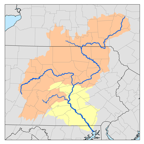
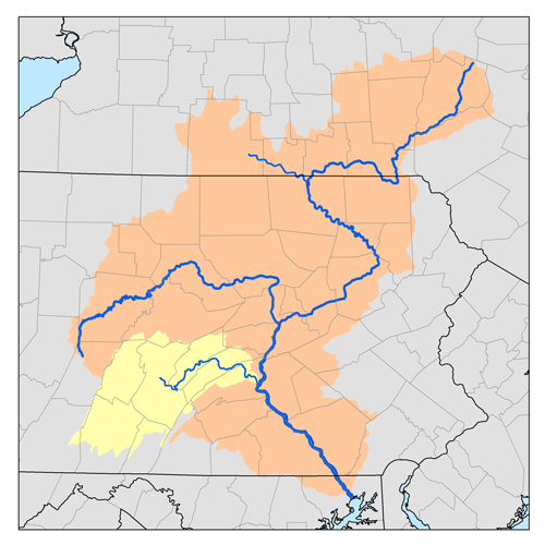
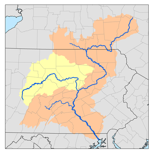
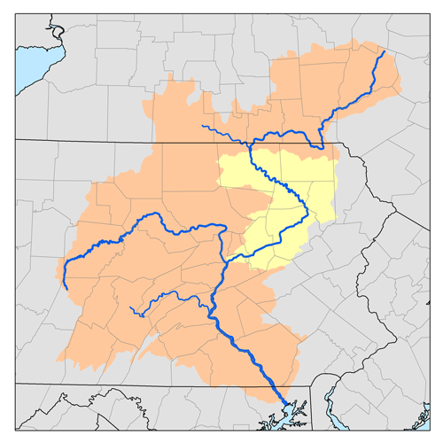
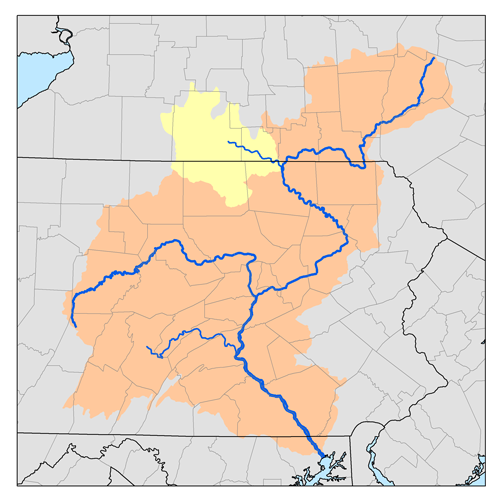
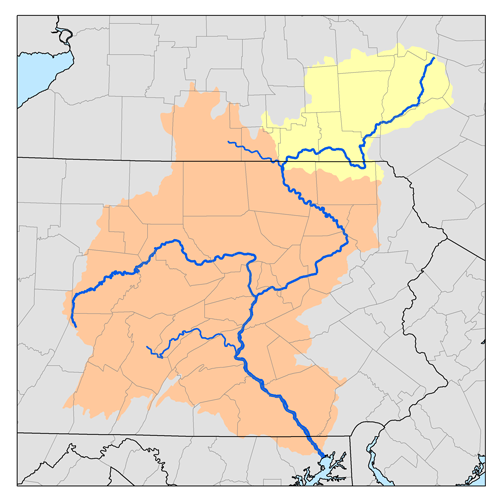
Susquehanna River — Coordinates: 39°32′35″N 76°04′32″W / 39.54306°N 76.07556°W / 39.54306; 76.07556 … Wikipedia