Lugton High railway station
- Lugton High railway station
Infobox UK disused station
name = Lugton High
other_name =
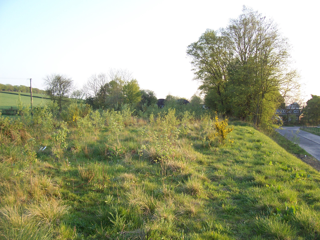
caption = The site of Lugton High in 2007
original = Lanarkshire and Ayrshire Railway
pregroup = Caledonian Railway
postgroup = LMS
locale = Lugton
borough = Ayrshire
platforms = 2
latitude = 55.7417
longitude = -4.5271
gridref = NS414526
years = 1 May 1903
events = Opened as Lugton
years1 = 1 January 1917
events1 = Closed
years2 = 1 February 1919
events2 = Reopened
years3 = 2 July 1924
events3 = Renamed Lugton High
years4 = 4 July 1932
events4 = Closed to regular services:"For the station on the former Glasgow, Barrhead and Kilmarnock Joint Railway see Lugton railway station."
Lugton High railway station was a railway station serving the hamlet of Lugton, East Ayrshire, Scotland as part of the Lanarkshire and Ayrshire Railway.
History
The station opened on 1 May 1903 and was simply known as Lugton.[Butt, page 150] It closed between 1 January 1917 and 2 March 1919 due to wartime economy,]Little remains of this station today, aside from the stationmaster's house and related buildings, the abutments of a bridge crossing the A735 to the south, and a large embankment to the north.
2007 Gallery
rail line
next = Uplawmoor
"Line and station closed"
previous = Giffen
"Line and station closed"
route = Caledonian Railway
Lanarkshire and Ayrshire Railway
col = Caledonian colour
###@@@KEYEND@@@###
References
Notes
Sources
*
*
* [http://www.railbrit.co.uk/Lanarkshire_and_Ayrshire_Railway/frame.htm RAILSCOT on Lanarkshire and Ayrshire Railway]
Wikimedia Foundation.
2010.
Look at other dictionaries:
Lugton railway station — Infobox UK disused station name = Lugton other name= caption = line = Glasgow, Barrhead and Kilmarnock Joint Railway manager = Caledonian and Glasgow South Western Railways locale = Lugton borough = Ayrshire latitude = 55.7435 longitude = 4.5274… … Wikipedia
Uplawmoor (L&A) railway station — Infobox UK disused station name = Uplawmoor other name = caption = Uplawmoor station site in 2007 original = Lanarkshire and Ayrshire Railway pregroup = Caledonian Railway postgroup = LMS locale = Uplawmoor borough = Renfrewshire latitude =… … Wikipedia
Eglinton Country Park — is a park located in the grounds of the old Eglinton Castle estate, Irvine, on the outskirts of Kilwinning, North Ayrshire, Scotland (map reference NS 3227 4220). Eglinton Park is situated in the parish of Kilwinning, part of the former district… … Wikipedia
Montgreenan — is an estate in North Ayrshire, Parish of Kilwinning, Scotland. The Lugton Water runs through the policies and farmland of Montgreenan. Nearby are the hamlets of Torranyard and Auchentiber. Montgreenan House Contents … Wikipedia
Barony and Castle of Giffen — The Barony of Giffen and its associated 15th century castle were in the parish of Beith in the former District of Cunninghame, now North Ayrshire. The site may be spelled Giffen or Giffin and lay within the Lordship of Giffin, which included the… … Wikipedia
The Lands of Montgreenan — Montgreenan is an estate in North Ayrshire, Parish of Kilwinning, Scotland. The Lugton Water runs through the policies and farmland of Montgreenan. Nearby are the hamlets of Torranyard and Auchentiber.The Lands of MontgreenanLocation map Scotland … Wikipedia
Hessilhead — is in Beith, North Ayrshire, Scotland. Hessilhead used to be called Hazlehead or Hasslehead. The lands were part of the Lordship of Giffen, and the Barony of Hessilhead, within the baillerie of Cunninghame and the Parish of Beith. The castle was… … Wikipedia
Dunlop, East Ayrshire — Coordinates: 55°42′N 4°32′W / 55.7°N 4.54°W / 55.7; 4.54 … Wikipedia
Stewarton — (Scottish Gaelic: Baile nan Stiùbhartach ) is a town located in East Ayrshire, Scotland. In comparison to other towns in the region it is comparatively large bigger than the surrounding towns of Kilmaurs, Fenwick, Dunlop and Lugton, with a… … Wikipedia
Cunninghamhead Estate — The Cunninghamhead Estate Caravan park and housing at the site of old Cunninghamhead House. Type Residential Park Location Cunninghamhead Estate, Irvine … Wikipedia