- Shire of Kulin
Infobox Australian Place | type = lga
name =Shire of Kulin
state =wa
region =Wheatbelt
area =4713.7
est =1918
seat =Kulin
pop =881 (2006 census)
imagesize= 180
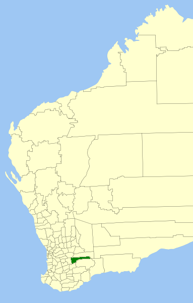
caption = Location inWestern Australia
logo =Kulin logo.png
url =http://www.kulin.wa.gov.au
mayor =Jim M Sullivan
fedgov =O'Connor
stategov =Roe
near-nw = Corrigin
near-n = Kondinin
near-ne = Kondinin
near-w = Wickepin
near-e = Dundas
near-sw = Dumbleyung
near-s = Lake Grace
near-se = RavensthorpeThe Shire of Kulin is a Local Government Area in the Eastern Wheatbelt region of
Western Australia , about convert|300|km|mi|0 of the state capital, Perth. The Shire's land area of convert|4714|km2|sqmi|0 forms a narrow east-west band, located between theShire of Kondinin to the north and theShire of Lake Grace to the south. Its seat of government is the town of Kulin. The local economy is based on agriculture - predominantly cereal grains and sheep.History
In 1918, the Roe Road Board was gazetted. It was renamed to the Kulin Road Board in 1926. On 1 July 1961, it became the Shire Council following changes to the Local Government Act. [WA Electoral Commission, "Municipality Boundary Amendments Register" (release 2.0), 31 May 2003.]
Wards
The shire has been divided into 4 wards.
* Town Ward (3 councillors)
* West Ward (3 councillors)
* Central Ward (2 councillors)
* East Ward (1 councillor)Towns/Localities
* Kulin
* Dudinin
* Holt Rock
* Jitarning
* PingaringReferences
External links
* [http://www.kulin.wa.gov.au/ Shire of Kulin]
Wikimedia Foundation. 2010.