- River Oykel
-
River Oykel 
Lower Oykel between Brae and Tuiteam house, halfway between Oykel Bridge and Invercassley.
The Tutim Burn can just be seen.Origin Ben More Assynt, Sutherland Mouth Kyle of Sutherland / Dornoch Firth Basin countries Scotland Basin area 355 km2 (137 sq mi)  Looking downstream, near Oykel Bridge.
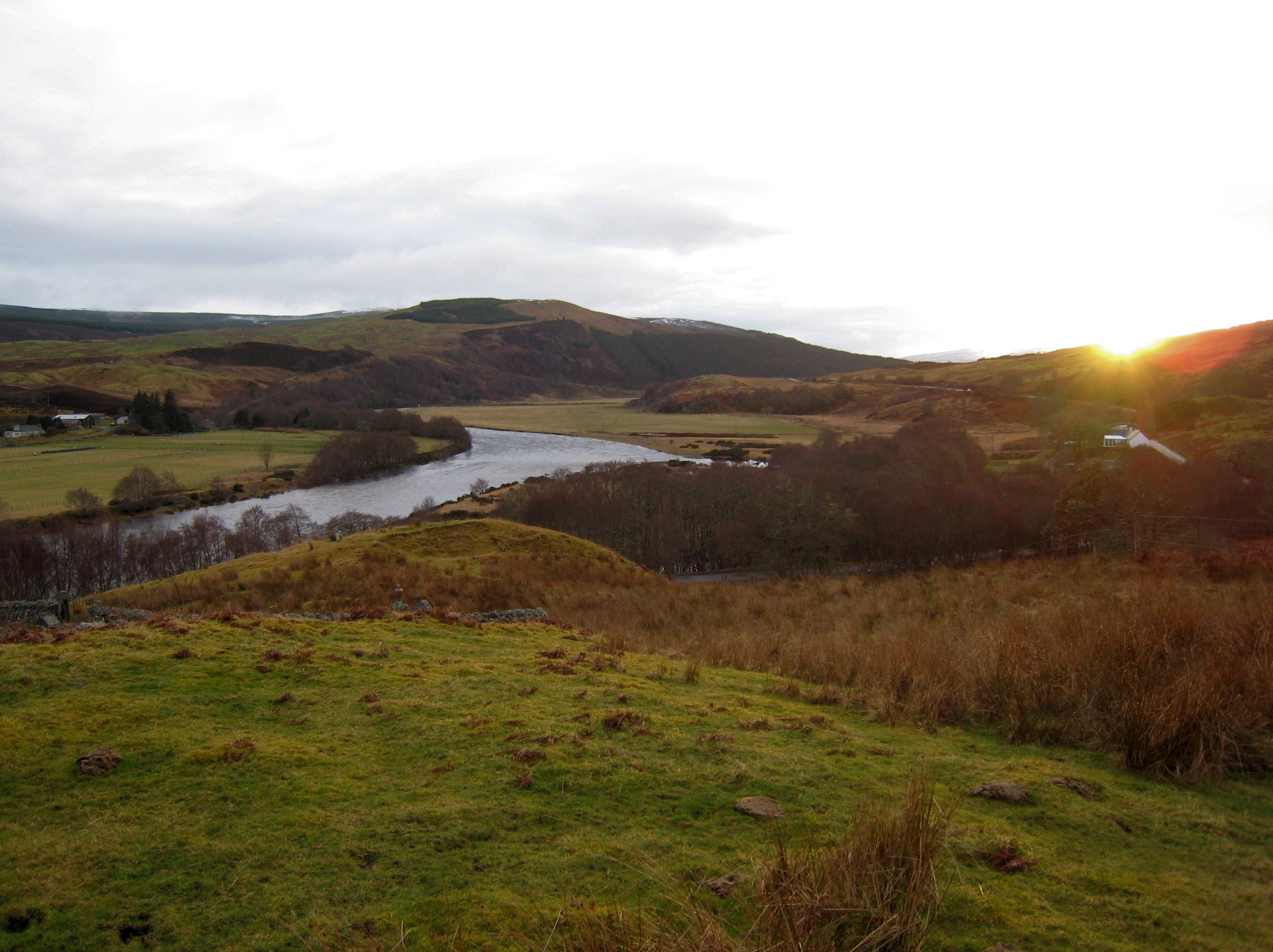
The River Oykel (Scottish Gaelic: Abhainn Oicill, pronounced [au.ɪɲ ɤçɡ̊ʲɪɫ̪]) is a major river in northern Scotland that is famous for its salmon fishing. It rises on Ben More Assynt, a few miles from Ullapool on the west coast of Scotland, and drains into the North Sea via the Kyle of Sutherland. Traditionally it has marked the boundary between Ross to the south and Sutherland to the north.
Contents
Geography
The river rises at a height of 1500 feet on the southern side of Ben More Assynt, and flows just over 35 miles.[citation needed] The upper valley is known as Glen Oykel (Gleann Oicill) and is mostly desolate moorland; the lower valley is known as Strath Oykel (Srath Oicill). The A837 road runs along the river for most of its length, crossing it just above the junction with the Einig, about 6 miles (9.7 km) west of Rosehall at Oykel Bridge. The eponymous hotel is famous among anglers, who are obliged to stay there when fishing the river.
The River Cassley feeds into the Oykel by Invercassley (Inbhir Charsla), forming the Kyle of Sutherland which is later joined by the River Shin and the River Carron. The Kyle discharges into the North Sea via the Dornoch Firth.
History
The Oykel was known to the Vikings as the Ekkjal. It served as the boundary between the ancient Pictish province of Cat (Sutherland and Caithness), and the province of Ross, a role it continued until the two were merged into the Highland Region in 1975.
In 1406, the Mackays defeated the Clan MacLeod of Lewis at the Battle of Tuiteam Tarbhach[1] on the north bank near the mouth of the Tutim Burn.
Flora and fauna
It is designated as a Special Area of Conservation. It has abundant stocks of Atlantic salmon and over 1000 were caught by anglers in 2007.[2]
External links
- River Oykel at the Gazetteer for Scotland site
- Special Area of Conservation data at the Joint Nature Conservation Committee site
Notes and references
- ^ Anon (1764). The History of the Feuds and Conflicts Among the Clans in the Northern Parts of Scotland and in the Western Isles: from the year M.XX1 unto M.B.C.XIX, now first published from a manuscript wrote in the reign of King James VI. Foulis Press. http://www.electricscotland.com/webclans/conflict/Tuiteam_Tarbhach.html.
- ^ "River Oykel Noticeboard". Kyle of Sutherland District Salmon Fisheries Board. 2008. http://www.dsfb.co.uk/river-oykel-noticeboard.shtml.
Categories:- Rivers of Scotland

Wikimedia Foundation. 2010.